Route n°8 - Sur les hauteurs de St Clément et Dième
Add to my favorites

Route opened
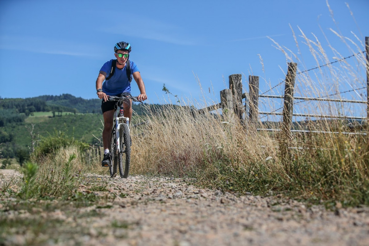
One of the most beautiful circuits. After a difficult ascent and a delicate descent, GR76 through the forest of Brou, single leading to the Guerin hut, and orientation table at the highest point. Nice descent of the Chaudures, which continues by the clear ridge line overlooking St Clément sous Valsonne. Tip: stop to enjoy the view revealing the beginning of the route in the Brou forest and spreading out to the Matagrin Tower, the highest point of the Monts de Tarare.
The characteristics of the route.

Saint-Clément-sur-Valsonne (69)
- Distance 22.4 km
- Elevation gain 850 m
- Elevation lost 850 m
- Min. elevation 370 m
- Max. elevation. 755 m
- Duration (depending on pace) 1h40 à 2h10
- Marking Orange with n°8 on a redbackground
Area : Pays de Tarare
Report a problem Add a comment
Site VTT FFC du Beaujolais Vert Roadbook for sail
Add your time and share your feelings
Services nearby

Hôtel-Restaurant "Le Saint Clément"
Saint-Clément-sur-Valsonne

Hôtel-restaurant "Le Saint Clément"
Saint-Clément-sur-Valsonne
Restaurant "Le Relais du Soanan"
Saint-Clément-sur-Valsonne

Le Jarret
Saint-Clément-sur-Valsonne
Auberge de la Vallée
Valsonne


Follow us on
the digital trails
the digital trails


![]()
Info & contacts
Office de Tourisme du Beaujolais Vert
Lac des Sapins - 69550 Cublize
04.74.89.58.03
accueil@beaujolaisvert.com


OK
Annuler