Route n°2 - Balade du Trévenet
Add to my favorites

Route opened
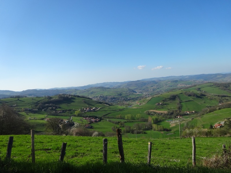
A very pleasant and varied walk, first in the bottom of the valley and its stream the Trésoncle, then going up its tributary the Trévenet, one rises gently to reach the ridge path where the landscape opens up to the surrounding villages.
The characteristics of the route.
Ancy (69)
- Distance 7.8 km
- Elevation gain 290 m
- Elevation lost 290 m
- Min. elevation 472 m
- Max. elevation. 735 m
- Duration (depending on pace) 2h15
- Marking Yellow with n°2 on a blue background
Mathou-73
finished in 01:26:01
The 2022/08/20
En savoir plus
Gab69490
finished in 01:30:49
The 2022/08/11
En savoir plus
Ajouter votre chrono et partager vos sensations
2022/08/11 01:30:49
Gab69490
Gab69490
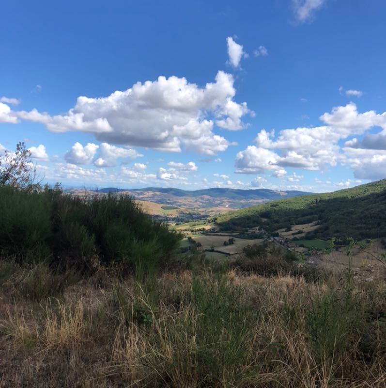
De magnifiques paysages ! Une rando sur sentier avec quelques moments sur routes maux extrêmement peu fréquentés
Services nearby

Le Relais du Trésoncle
Ancy

Le Bourgogne
Saint-Romain-de-Popey
L'Achatine
Saint-Romain-de-Popey

La Ferme aux escargots
Saint-Romain-de-Popey

Pivoine et Cerise
Saint-Romain-de-Popey


Follow us on
the digital trails
the digital trails


![]()
Info & contacts
Office de Tourisme du Beaujolais Vert
Lac des Sapins - 69550 Cublize
04.74.89.58.03
accueil@beaujolaisvert.com


OK
Annuler