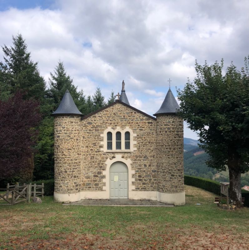
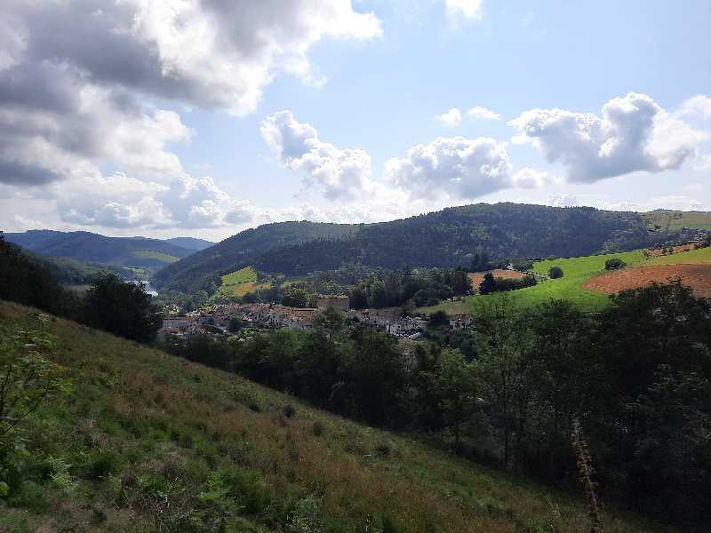
Route n°7 - Circuit du Charveyron
Add to my favorites

Route opened
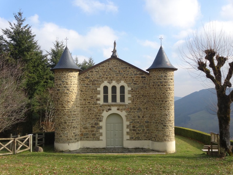
Go up to admire the hilly and forest landscapes along the mythical GR7 and go back down to the village....
The characteristics of the route.
Joux (69)
- Distance 11.9 km
- Elevation gain 480 m
- Elevation lost 480 m
- Min. elevation 487 m
- Max. elevation. 893 m
- Duration (depending on pace) 3h15
- Marking Yellow with n°7 on a blue background
Area : Pays de Tarare
Report a problem Add a comment
Parcours rando-resto, une alliance gourmande Roadbook on sale Mathou-73
finished in 02:21:14
The 2022/08/27
En savoir plus
Cookiecross
finished in 03:15:00
The 2021/07/25
En savoir plus
Ajouter votre chrono et partager vos sensations
Services nearby

Aire d'Accueil et de Services de Joux
Joux
Tentations et Délices
Joux
Le Tilia
Joux

Restaurant "Le Tilia"
Joux
Gîte "Café Mandeiron"
Joux


Follow us on
the digital trails
the digital trails


![]()
Info & contacts
Office de Tourisme du Beaujolais Vert
Lac des Sapins - 69550 Cublize
04.74.89.58.03
accueil@beaujolaisvert.com


OK
Annuler