Au carrefour des voies
Add to my favorites

Caution: Due to the storms that happened in November, some tracks may be impracticable or closed. Before going out, please contact the local authorities to have more information.
Warning

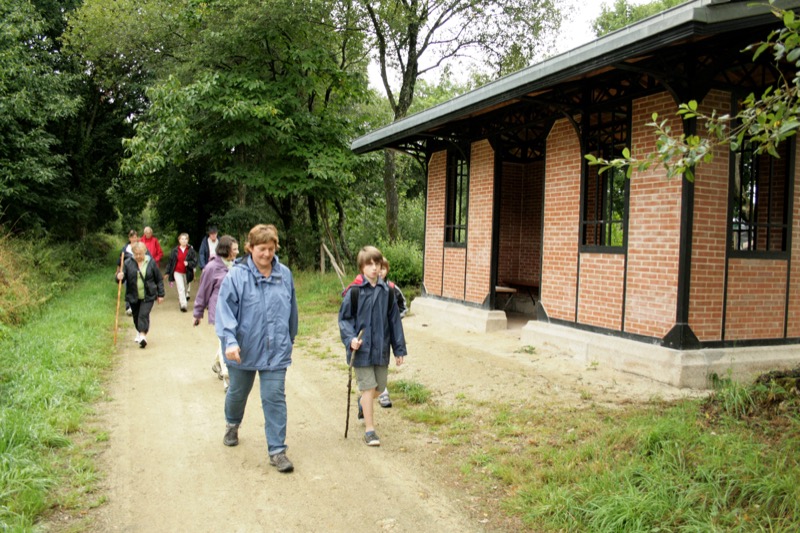
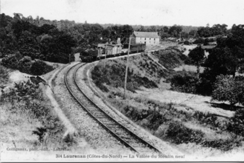
Deux anciennes et importantes voies de communication se croisent à Laurenan. L’une est l’œuvre des romains. L’autre est née à l’époque où le chemin de fer déroulait des kilomètres de rails pour apporter la prospérité économique dans les campagnes.
Route labeled FFRandonnée

The characteristics of the route.

Laurenan (22)
- Distance 16.7 km
- Elevation gain 160 m
- Elevation lost 160 m
- Min. elevation 134 m
- Max. elevation. 236 m
- Duration (depending on pace) 4h15
- Marking Yellow
Area : Bretagne Centre
Report a problem Add a comment

Find all the routes in your smartphone
Available this summer, the application Coeur de Bretagne will allow you to find all the trail running and hiking trails on your smartphone.
You will find many features in this application:
- locate yourself the route
- download data for offline access
- take advantage of detailed IGN maps
- add your chrono on the route
- find the services nearby...

Add your time and share your feelings
Services nearby

Insolite en Mené
Saint-Vran

Base sports nature de Pont Querra
Plémet
Manoir de la Peignie
Merdrignac

Office de tourisme Bretagne Centre - Merdrignac
Merdrignac
Val de Landrouët
Merdrignac


Follow us on
the digital trails
the digital trails


![]()
Infos & contact
Destination Coeur de Bretagne - Kalon Breizh
6 rue Joseph Pennec
22110 Rostrenen
Tel. +33(0)2 96 29 26 53


OK
Annuler