At the foot of the Obiou
Add to my favorites


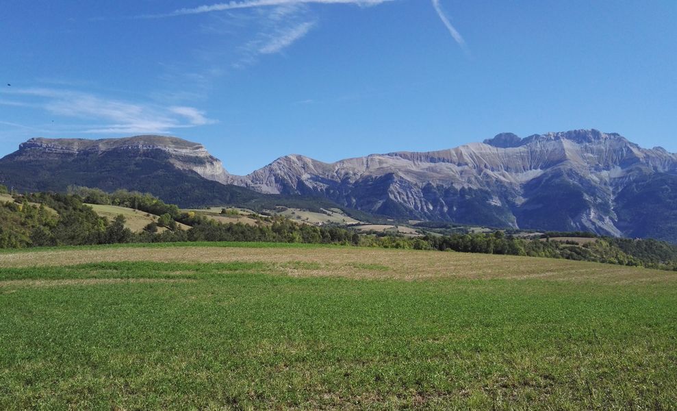
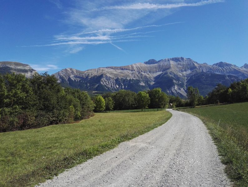
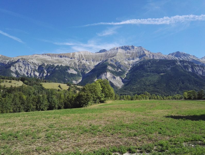
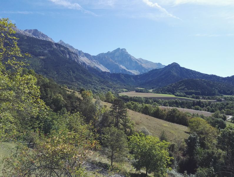
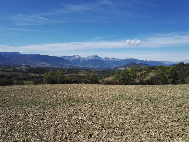
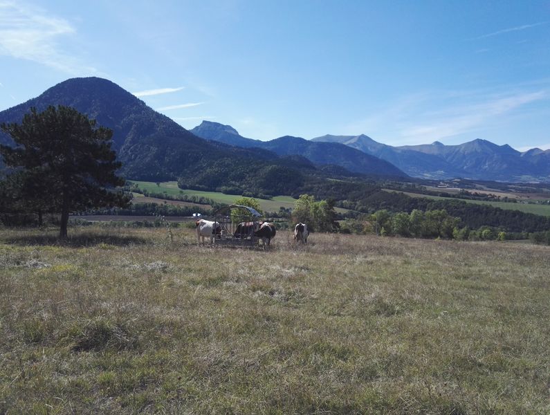
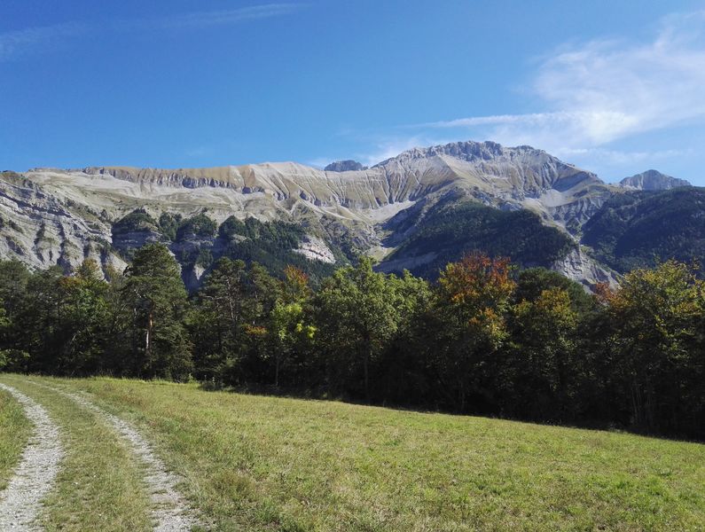
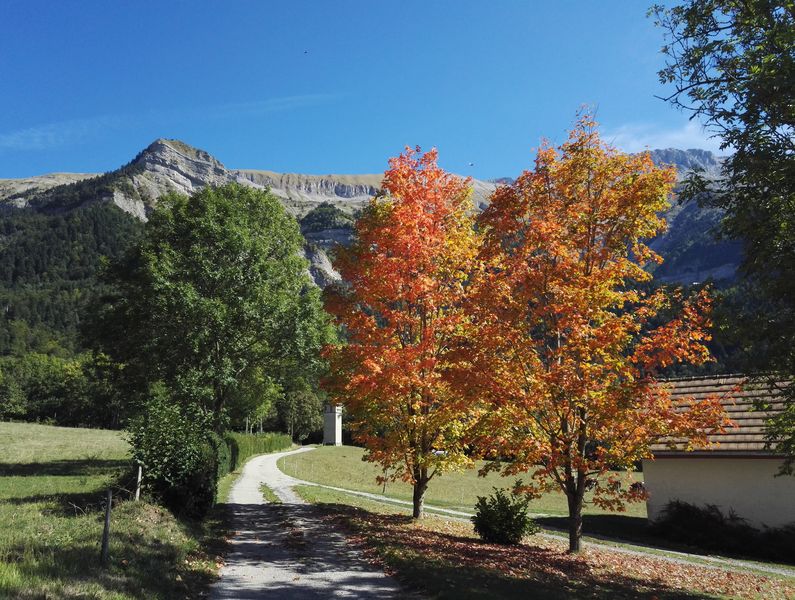
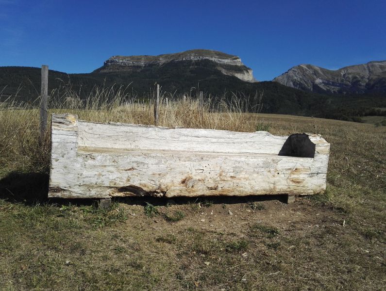
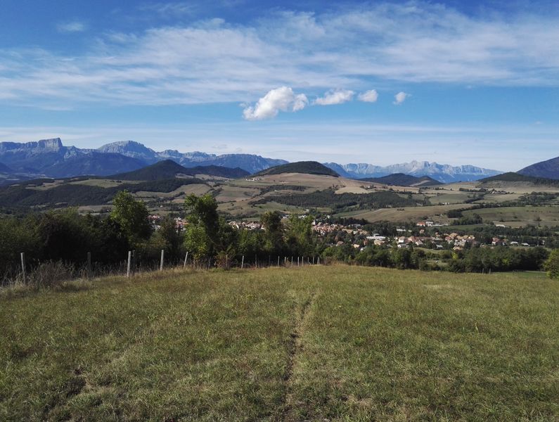
This lovely loop itinerary reveals the very scale of the Obiou peak and the Dévoluy mountains, while the paths are relatively wide and present no technical difficulties. The views over the Trièves region from the heights of Mens are absolutely superb!
The characteristics of the route.
Mens (38)
- Distance 17.8 km
- Elevation gain 470 m
- Elevation lost 470 m
- Min. elevation 717 m
- Max. elevation. 1071 m
- Duration (depending on pace) 2h
- Marking Yes
From Mens campsite, take the swimming pool road and pass in front of the school. At the crossroads, turn right onto Rue du Passage de l’Aiguille and head for the village centre. Continue along the right-hand side of the Tourist Office and up Rue Louis Rippert. At the intersection (Carrefour de la Croix), turn right onto Chemin des Philosophes. Continue straight on along a pleasant track for the itinerary’s first uphill challenge. Turn left at the intersection and continue to Les Levas. CAUTION: the track leads to the D66 road, please be careful. Turn right to follow road D66 for a few metres, then take the first track on the left. Stay on this track until you reach Beaumet. At the intersection, turn left onto road D254, then go straight on and follow the downhill slope ahead of you. After this first, slightly stony descent, follow the D254 road again and pass in front of Chardeyre mill. Continue on the tarmac road, then turn right onto the track. Go straight ahead, continue on the track and, at the following intersection, turn left to stay on the lovely wide track that leads to Saint Beauvais hamlet. Once past the farms, turn right onto the tarmac road. Continue straight on along the D66 road and, on a bend, again go straight ahead to follow the track. The track leads behind “La Rivière” and to the hamlet of “Les Bonnets”. At the crossroads, turn left onto the tarmac road and follow it to the village of Saint Baudille et Pipet. In the village, before you reach the church, turn right towards the hamlet of Saint Pancrasse and tackle the uphill tarmac section towards Fourchon. At the intersection at the top, take the right-hand track which leads to the beautiful hamlet of Longueville. You’ll make a first left turn onto a tarmac road then, a little higher up, a second left towards the Richard housing development. You’ll then follow a track on a gentle downhill slope. Turn right at the first intersection, then go straight on to the hamlet of Menglas. Cross the hamlet, then turn left, then right, to reach a lovely track leading back to Carrefour de la Croix in Mens. Go back through the village of Mens to return to your departure point.Equipments : Charging station for 2 electric wheels, Charging stations for electric vehicles, Admission fee : Free access.Opening : All year round.
Subject to favorable weather.Services for cyclists : Electric charging station (Eborn network) in Mens village (Pré Colombon car park)
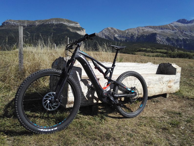
The FFCT MTB centre proposes lots of MTB trails.
Area : Trièves
Report a problem 1 comment
Website Pdf file Features of the application :
- Location and orientation on detailed maps thanks to the GPS of your smartphone
- Description of routes and points of interest on the route
- Photo gallery by route
- Detailed elevation profile
- Route tracking alert to warn you if you stray from the route
- Send predefined messages by SMS to your contacts
- Emergency module: trigger a call or send an emergency SMS in case of problem
- Agenda: access to events organized in the department
- News: find in the application the latest news on the web portal
- Adding achievements
- Add reports in case of problems encountered on the routes
- Share on social networks
Add your time and share your feelings
Services nearby

Musée du Trièves
Mens

Bureau d'Informations Touristiques de Mens - Office de Tourisme du Trièves
Mens
Point d'information Tréminis
Tréminis
Espace Giono
Lalley

Foyer nordique de Tréminis
Tréminis


Information updated on 2024-03-26 by Isère Attractivité


Follow us on
the digital trails
the digital trails


![]()
The Isère Outdoor application was created
by the Département de l'Isère
Infos & contact
Conseil départemental de l'Isère
7 rue Fantin Latour
CS 41096
38 022 Grenoble cedex 1
Tel. 04 76 00 38 38


OK
Annuler