
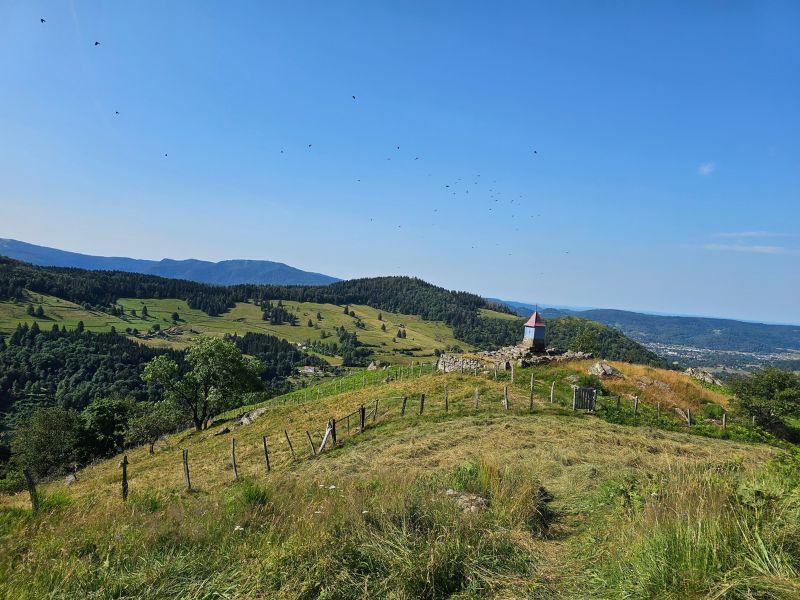
Get ready for a great adventure in the Haute-Moselle Valley! This maratrail-style route takes you on an assault on the Ballons des Vosges, with a generous gradient that's perfectly distributed along the way. Whether you set off from Bussang, Saint-Maurice-sur-Moselle, Le Ménil or Le Thillot, each crossing of these villages will offer a welcome moment of respite before setting off again on the climbs that await you. Although long and with a significant difference in altitude, this route remains generally rolling, offering some great sections to run. Mostly in woodland, it alternates between paths, tracks and wide, always challenging trails. Numerous viewpoints and places of interest dot the route, allowing you to discover all the richness of the region on a magnificent day's trail running in the Ballons des Vosges!

- Distance 48.5 km
- Elevation gain 1980 m
- Elevation lost 1980 m
- Min. elevation 487 m
- Max. elevation. 981 m
- Duration (depending on pace) 5h30 à 12h40
- Suivre le balisage Trail-running n°13 black + Hiking

Find all the routes of the Espace Trail des Ballons des Vosges free of charge on your smartphone using Trail Connect app, in ‘Outdoor Destinations’ section.
Features available :
- Geolocation at any time on the map and elevation profile
- Download data for consultation even in offline mode
- View trail opening status
- Download GPX file
- 'Go to start’ button for easy access to the start of the routes
- ...


the digital trails

![]()
Office de tourisme Communautaire
des Ballons des Hautes Vosges
www.ballons-hautes-Vosges.com
03 56 11 00 90
 Espace Trail des Ballons des Vosges - Parcours - Route 13 - Le Maratrail
Espace Trail des Ballons des Vosges - Parcours - Route 13 - Le Maratrail
Espace Trail des Ballons des Vosges - Parcours - Route 13 - Le Maratrail
Espace Trail des Ballons des Vosges - Parcours - Route 13 - Le Maratrail
Espace Trail des Ballons des Vosges - Parcours - Route 13 - Le Maratrail

