

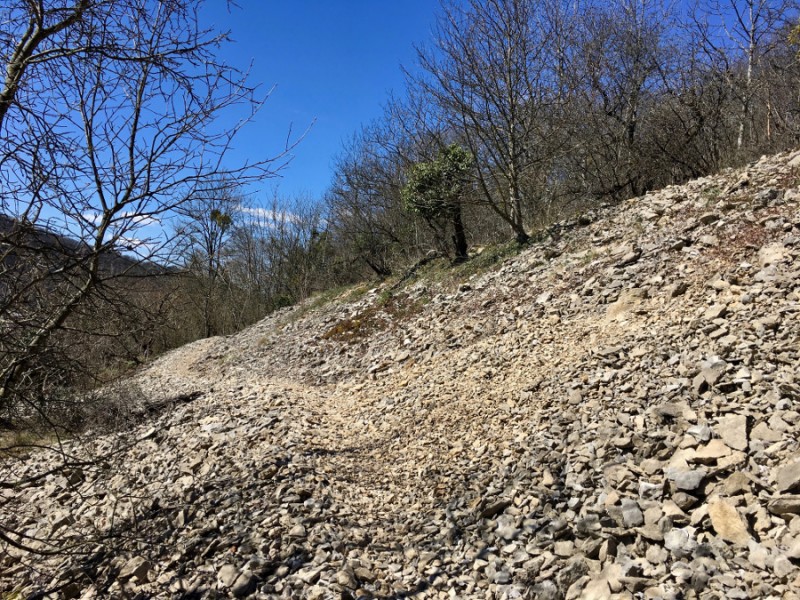
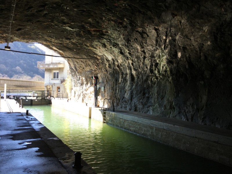
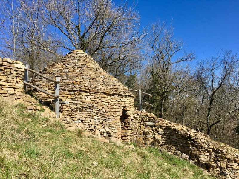
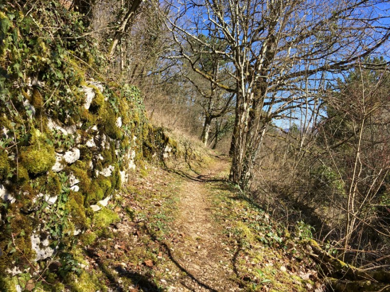
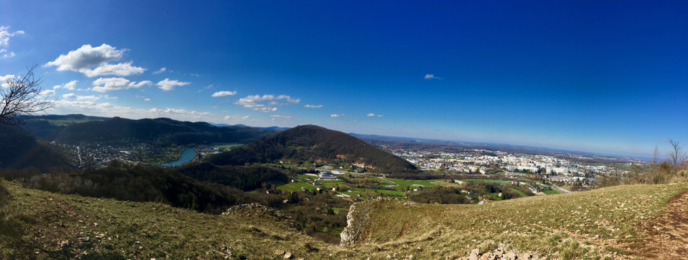
From the Grandes Heures Nature Outdoor Center, joint the forts of Besançon with this loop on very varied terrain. You will first climb at the foot of the Citadel Vauban, a UNESCO World Heritage Site, before continuing a succession of uphills and descents to join the Forts de Chaudanne, Rosemont and finally Planoise. AA route evolving in a very varied setting, alternating tight paths, or paved roads, in the middle of the forest or in the middle of dry grasslands or also villages bisontins. A very complete course, both technical and rolling, ideal for training while immersing in the historical richness of places.

- Distance 21.23 km
- Elevation gain 1000 m
- Elevation lost 1000 m
- Min. elevation 237 m
- Max. elevation. 461 m
- Duration (depending on pace) 2h30 à 5h
- Marking yes, n°6 red
MomoLeSniper
MomoLeSniper
Bart Rainault
Thomas25000
stephane
MomoLeSniper
MomoLeSniper
Bart Rainault
Thomas25000


the digital trails


![]()
Info & contacts
Ville de Besançon
Direction des Sports
+33(0)3 81 41 23 05
Grand Besançon Métropole
Service Tourisme
+33(0)3 81 87 88 61
 Besançon Grandes Heures Nature - Parcours - Route 6 red - Les 3 Forts
Besançon Grandes Heures Nature - Parcours - Route 6 red - Les 3 Forts
Besançon Grandes Heures Nature - Parcours - Route 6 red - Les 3 Forts
Besançon Grandes Heures Nature - Parcours - Route 6 red - Les 3 Forts
Besançon Grandes Heures Nature - Parcours - Route 6 red - Les 3 Forts

