
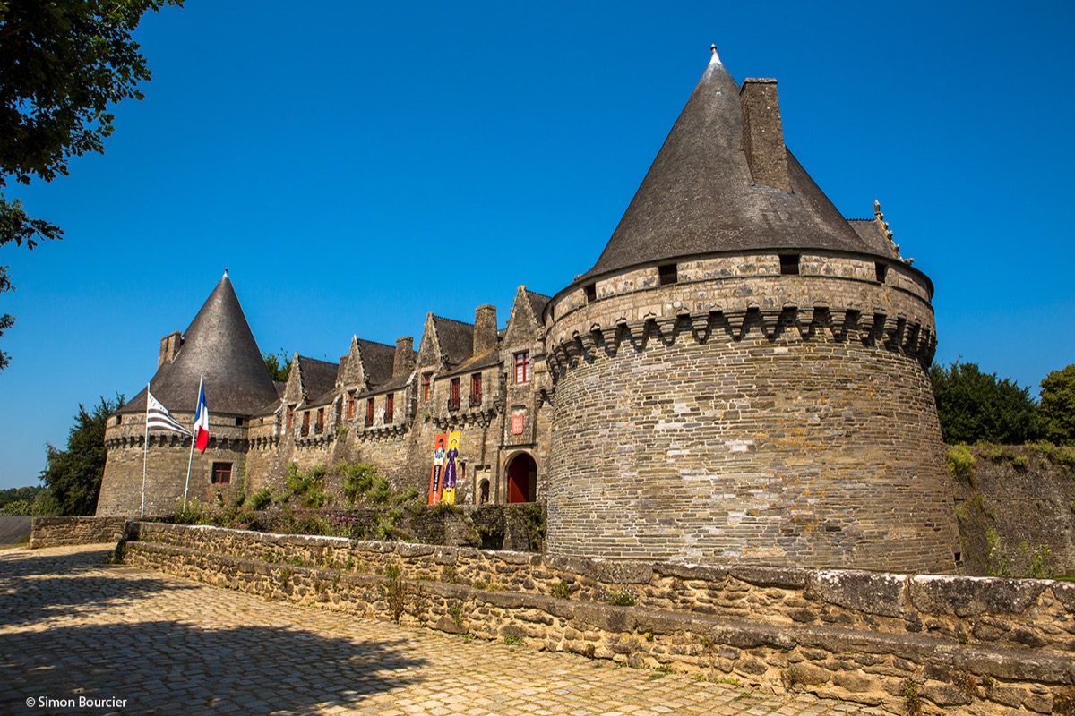
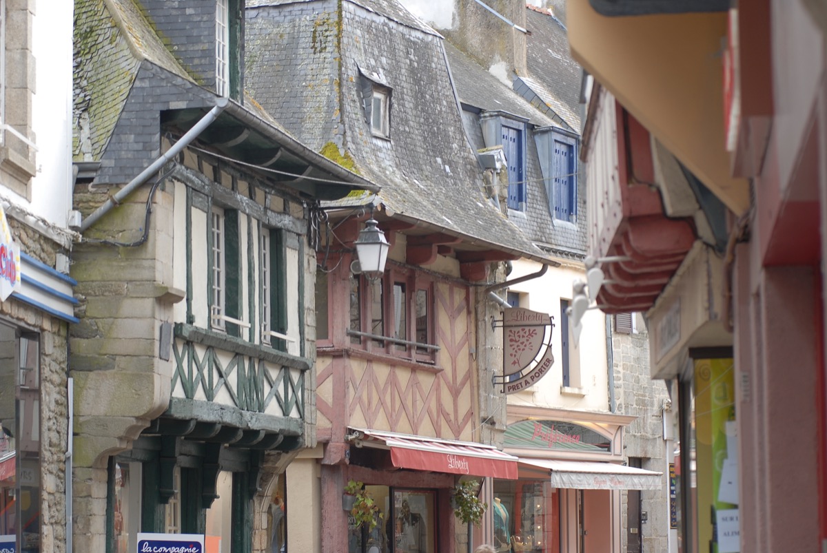
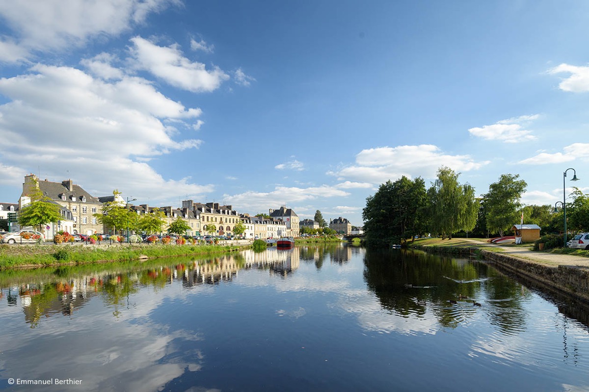
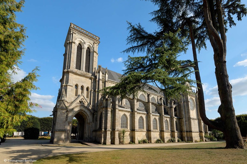
This itinerary starting from the heart of the town offers you the opportunity to discover Pontivy, its alleys and paths. You will start the route along the Blavet river and the Nantes-Brest Canal, before heading towards the castle and the old town where you will discover the heritage of the Napoleonic period. After crossing the town on the east side, you will cross the right bank of the Blavet river to go up the magnificent valley of the Petit Resto to the Chapelle Ste Tréphine (15th Century). From there, you will return to the heart of Pontivy through the Coulée Verte and the banks of the Blavet river. A complete and varied circuit, available all year round!

- Distance 9.62 km
- Elevation gain 111 m
- Elevation lost 111 m
- Min. elevation 53 m
- Max. elevation. 121 m
- Duration (depending on pace) 0h45 à 1h45
- Marking Trail-running n°63 green (soon)

The Cœur de Bretagne app allows you to find all the trail running, hiking, biking and horseriding trails on your smartphone, and much more!
A lot of features are in the app, including:
- geolocalisation on the route
- download data for offline access
- detailed IGN maps
- add your chrono on the route
- find the services nearby...


the digital trails


![]()
Infos & contact
Destination Coeur de Bretagne - Kalon Breizh
6 rue Joseph Pennec
22110 Rostrenen
Tel. +33(0)2 96 29 26 53

