Walk Au fil de l'eau
Add to my favorites

Route opened
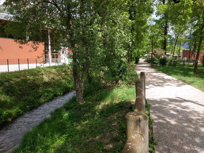
A landscaped and marked footpath will lead you from the leisure center to the Saint-Théodule square (Church). As its name suggests, the walk follows the course of the Englennaz stream where Water will become your "companion" ...
The characteristics of the route.

Thyez ()
- Distance 4 km
- Elevation gain 30 m
- Elevation lost 30 m
- Min. elevation 461 m
- Max. elevation. 472 m
- Duration (depending on pace) 1h
- Marking Yes
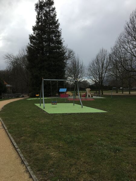
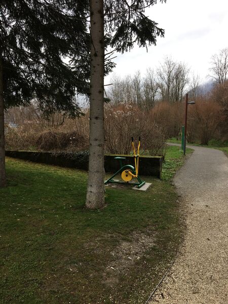
By taking this easy route, you will discover the heritage of the city: natural, historical and religious. You can also stretch your limbs thanks to the sports equipment for everyone on the course.
From the leisure center to the church: 30 minutes
From the leisure center car park, retrace your steps in the direction of the roundabout by which you arrived. Continue straight on, you will come to a bridge which is the entry point to the trail. Start following the path, which
has sports equipment, if you want to make your ride more dynamic. Follow the path and the signs, watch out for some pedestrian crossings. Continue along the stream, bypass the Charmilles school while staying on the sidewalk. On your right, cross the pedestrian crossing and find the path that follows the stream. You will then walk along pretty flower gardens. Cross the bridge which will lead you to the garden adjoining the Saint-Théodule Church.
Return: 30 minutes
Either retrace your steps or take the greenway along the Arve.
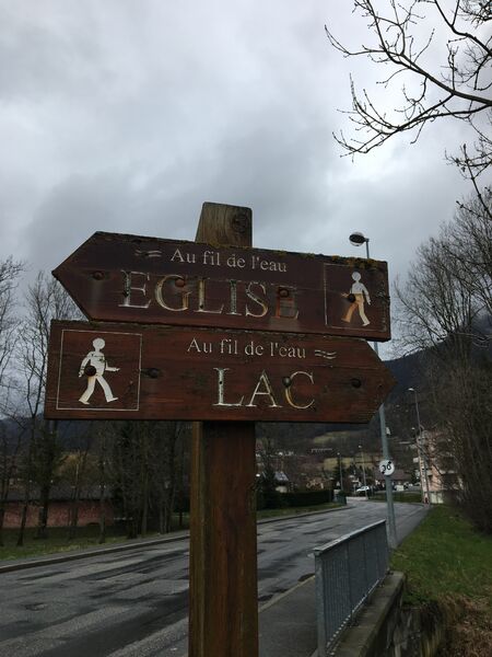
To do more: continue on the greenway towards the Cluses Tourist Office.Marking : Wooden signsEquipments : Play area, Picnic area, Admission fee : Free access.Opening : All year round.
Area : Cluses Arve & Montagnes
Report a problem Add a comment
Website PDF map
Add your time and share your feelings


Information updated on 2023-02-08 by Cluses Arve & montagnes Tourisme


Follow us on
the digital trails
the digital trails


![]()
Infos & contacts
Flaine Tourist Office
Tél. +33 (0)4 50 90 80 01
Les Carroz sports club
sports@aracheslafrasse.fr - Tél. +33 (0)4 50 90 24 80
Cluses Arve & montagnes Tourist Office
Tél. +33 (0)4 50 96 69 69


OK
Annuler