N°2 - Le circuit de Monteils
Add to my favorites

Route opened
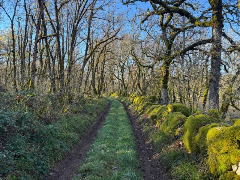
After a gentle warm-up along the Célé and the road to Cajarc, follow a small path that climbs up to the Devès. If you feel like it, take a detour to the viewpoint to admire the valley, before continuing along the rolling route to Monteils. Then climb up to the balconies on the opposite bank, before returning to the plain and peacefully making your way back to the village of Marcilhac-sur-Célé.
The characteristics of the route.

Marcilhac-sur-Célé (46)
- Distance 12.79 km
- Elevation gain 370 m
- Elevation lost 370 m
- Min. elevation 145 m
- Max. elevation. 340 m
- Duration (depending on pace) 1h20 à 2h40
- Suivre le balisage n°2 blue

Report a problem
Find all the routes of the Grand Figeac Trail Area for free on your smartphone thanks to the Trail Connect app.
In the app, open the "Destinations to discover" section and select your Trail Area.
Available features:
- Geolocation at any time on the map and elevation profile
- Display of IGN maps
- Download data for access, including offline mode
- Check trail opening status
- Display points of interest near the route
- GPX export
- Route sharing
- "Navigate to start" button for easy access to the beginning of the route


Duguidon
finished in 01:30:00
The 2026/08/01
En savoir plus
Ajouter votre chrono et partager vos sensations
2026/08/01 01:30:00
Duguidon
Duguidon
Belle rando manque un peu d entretien ( pic de buis )
2026/08/01 01:30:00
Duguidon
Duguidon
Belle rando manque un peu d entretien ( pic de buis )



Follow us on
the digital trails
the digital trails



 Espace Trail du Grand-Figeac - Parcours - N°2 - Le circuit de Monteils
Hello, world! This is a toast message.
Espace Trail du Grand-Figeac - Parcours - N°2 - Le circuit de Monteils
Hello, world! This is a toast message.
Espace Trail du Grand-Figeac - Parcours - N°2 - Le circuit de Monteils
Hello, world! This is a toast message.


OK
Annuler