N°7 - Giru di a pieve di Tuani
Add to my favorites

Route opened
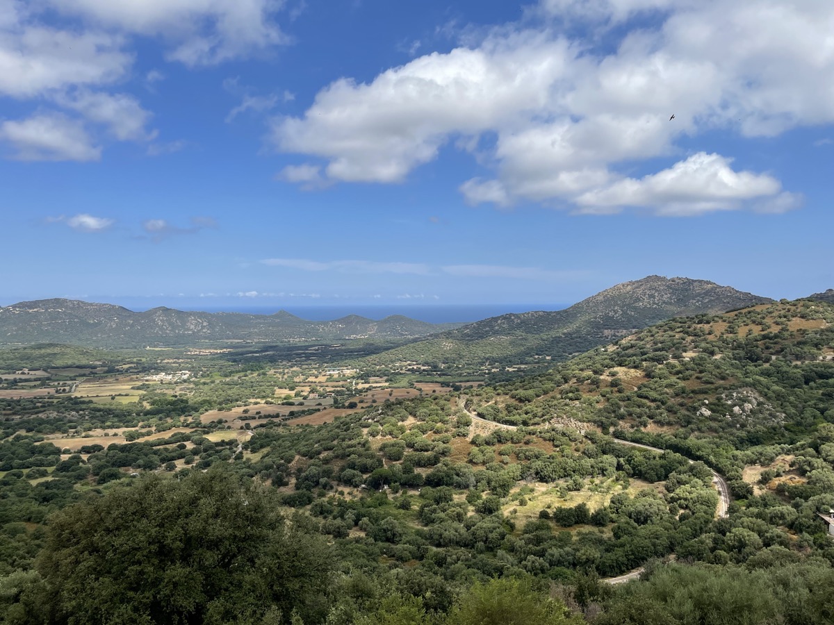
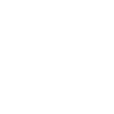
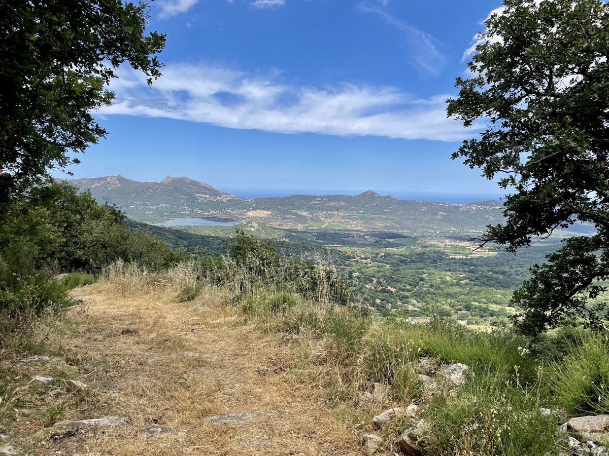
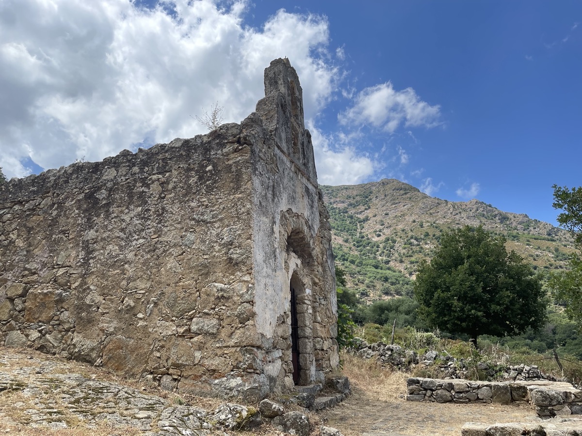
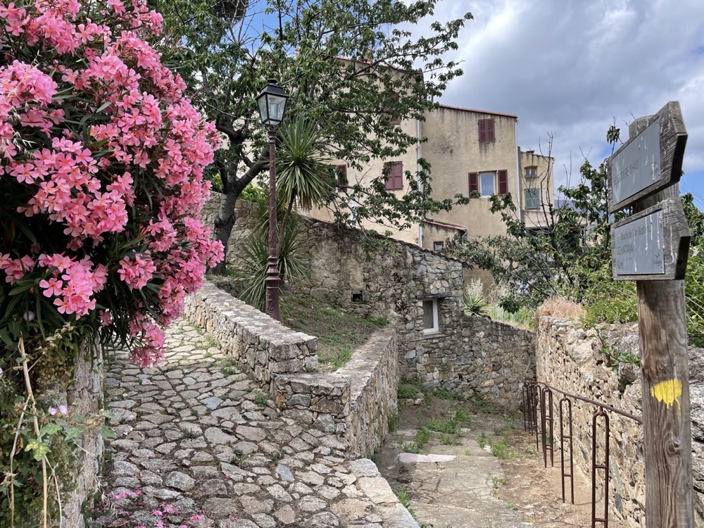
Discover the hilltop villages that make up the pieve di Tuani: Belgodere, Occhiatana, Ville di Paraso, Costa, Speloncato and their pretty stone paths, a real local heritage!
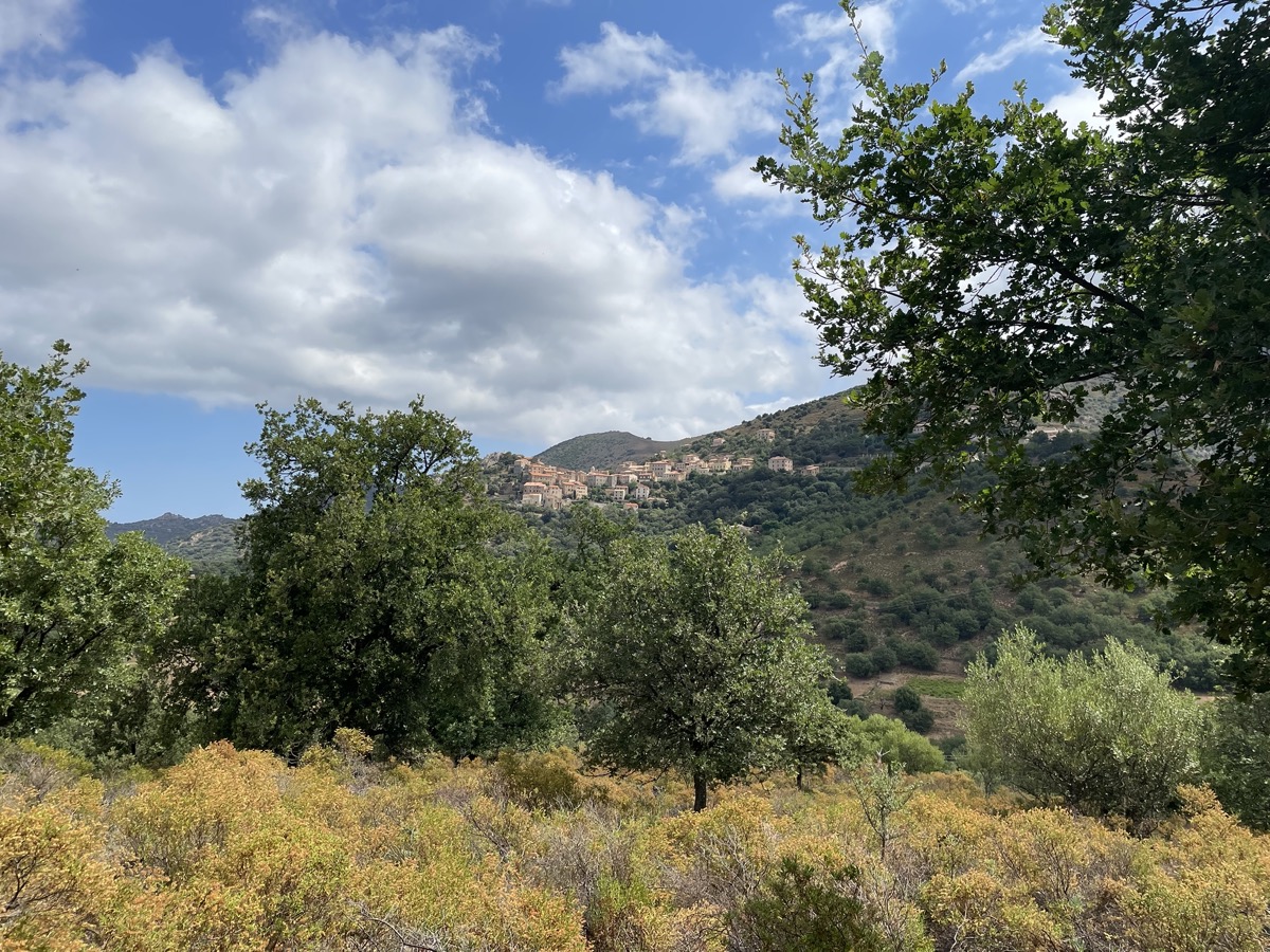
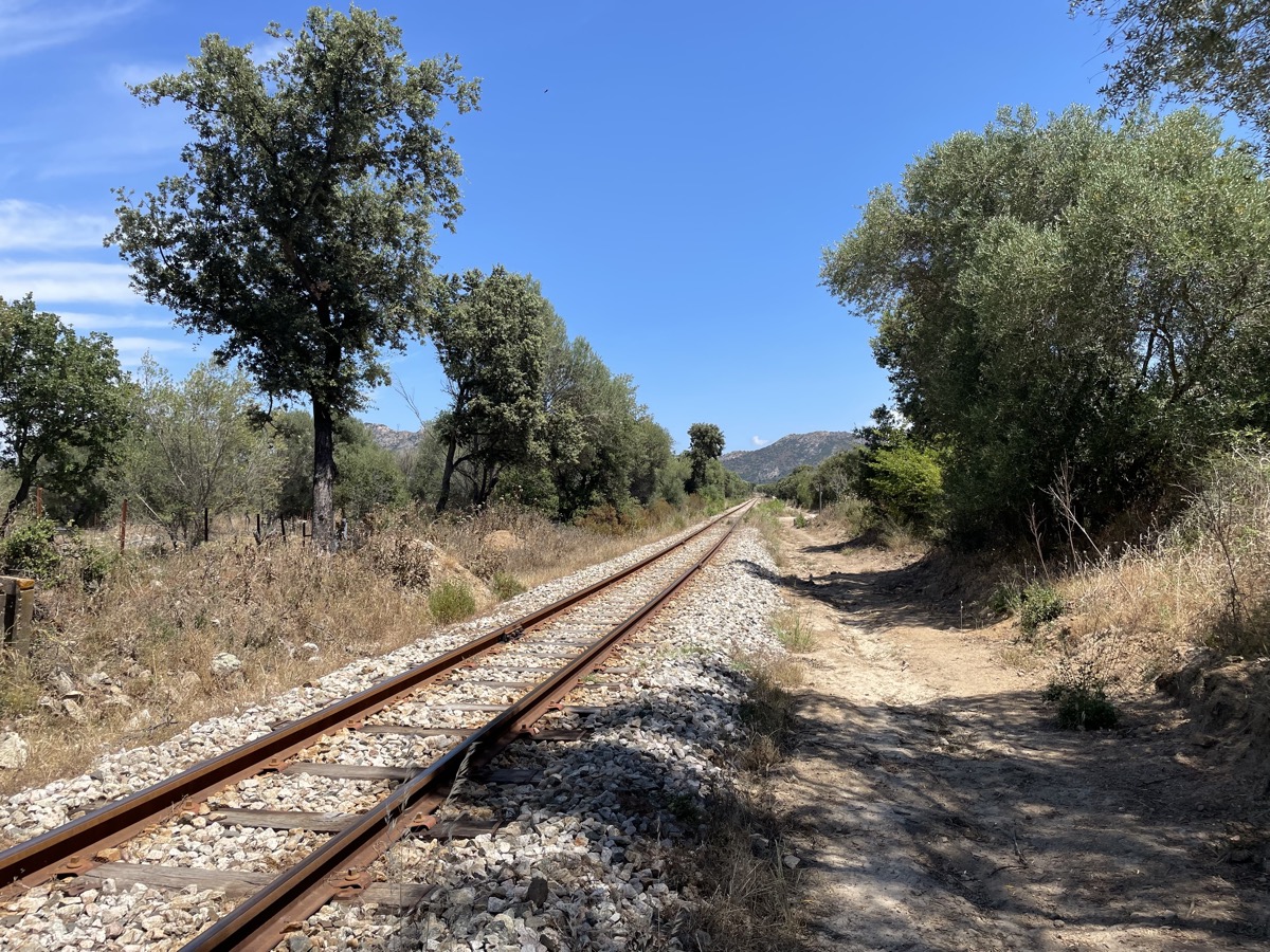
After an initial section taking you from village to village on an ascending profile, you plunge into the Régino valley with a 4km descent on magnificent trails. At the bottom, you'll ride on a wider track for 4km, an opportunity to lengthen your stride before making a final ascent to reach the village of Belgodere.
The characteristics of the route.
Belgodère (2B)
- Distance 17.38 km
- Elevation gain 656 m
- Elevation lost 656 m
- Min. elevation 94 m
- Max. elevation. 524 m
- Duration (depending on pace) 1h55 à 3h50
Report a problem Add a comment
PDF map
Add your time and share your feelings
Services nearby

Café de la Paix - Café de France
Belgodère

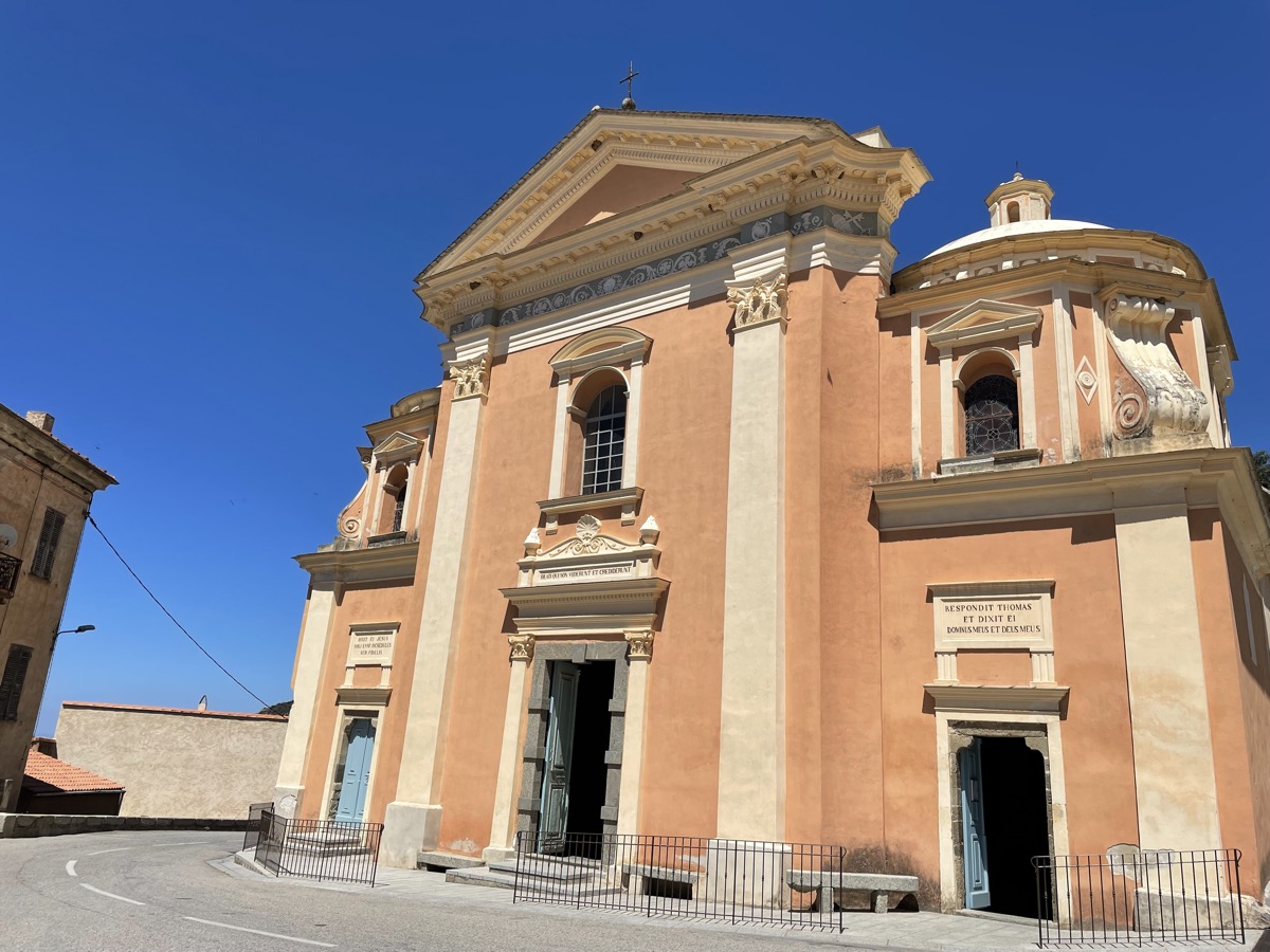
Église paroissiale San Tumasgiu
Belgodère

Epicerie A Buttega
Belgodère
Belgodere
Belgodère
E Teghje
Belgodère


Follow us on
the digital trails
the digital trails


![]()
Infos & contacts
Tourism Office
Île Rousse Balagne
+33(0)4 95 60 04 35


OK
Annuler