Morgins - The Alpine Forest Trail
Add to my favorites

Route closed
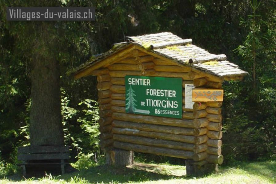
This pleasant 2-km ramble winds through a forest in which more than 90 trees and bushes are named.
The characteristics of the route.

Morgins (CH)
- Distance 1.2 km
- Elevation gain 40 m
- Elevation lost 20 m
- Min. elevation 1329 m
- Max. elevation. 1354 m
- Duration (depending on pace) 0h45
- Marking Yes
Step off the beaten path and into the magical environment of an alpine forest. On this easy, 3-kilometre long trail, some 90 different trees or shrubs are signposted and tagged, creating a microcosm of our valley's forest species. We’ve even included a few brushy relations who, while not native to the valley, have been imported here for educational purposes.Equipments : Picnic area, Car park, Admission fee : Free access.Opening : From 01/04 to 30/11.
Labels are not visible in winter.
Report a problem Add a comment
Website Trail's presentation Detailed brochure
Add your time and share your feelings


Information updated on 2023-07-01 by Région Dents du Midi SA


Follow us on
the digital trails
the digital trails


![]()
Info & contacts
Portes du Soleil Association
1401, route de Vonnes
74390 Châtel FRANCE
+33(0)4.50.73.32.54
info@portesdusoleil.com


OK
Annuler