Morgins - Rainbow Waters Hike
Add to my favorites

Route closed
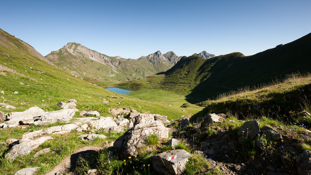
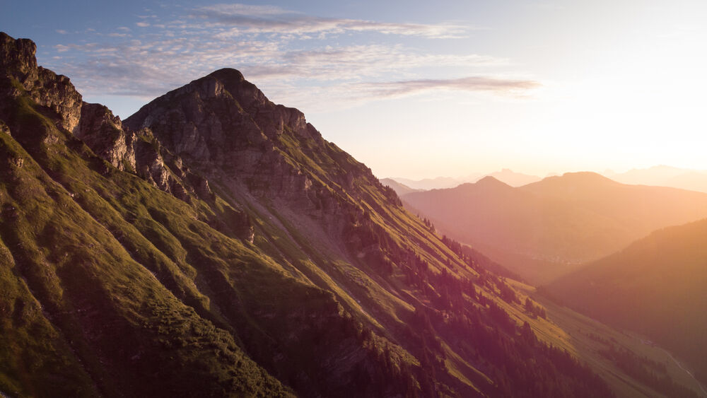
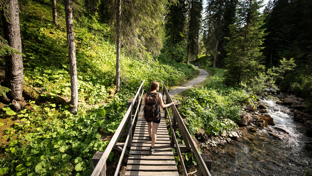
'Morgins, les Couleurs de l'Eau' is a fascinating interpretive trail, featuring nine informational panels in the valley of They, between Morgins and the Portes du Soleil pass.
The characteristics of the route.
Morgins (CH)
- Distance 16.6 km
- Elevation gain 830 m
- Elevation lost 830 m
- Min. elevation 1328 m
- Max. elevation. 2088 m
- Duration (depending on pace) 5h15
- Marking Yes
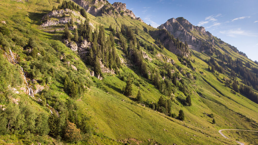
The trailhead is located at the entrance of the Vallon de They, just past the Morgins Ranch.
The itinerary offers nine interpretive panels along the route through the They Valley, between Morgins and the Col des Portes du Soleil.
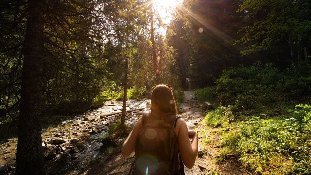
Walking upriver to the source of the Vièze, you’ll see that the water changes colour; alternately red, blue, yellow, white, and green! The panels provide geological, hydrological, and hydrogeological explanations as to why the colours change so strikingly, how water and minerals interact, how water can suddenly disappear or appear out of nowhere, and why these mountains are so uniquely special.
Keep your eyes peeled for:
- Red at the Eau Rouge Spring
- Blue at the edge of the Vièze River
- Yellow at the Fontaines Jaunes
- White at the Fontaines Blanches
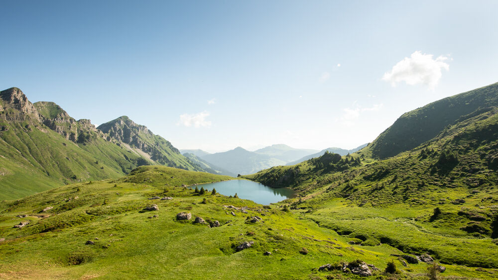
- Green at the Lac Vert
You'll find alpine restaurants along the way - the Chésery Hut at Lac Vert, or the Tovassière and They 'Cantines' in the They Valley.Marking : At the Lac Vert (Refuge de Chésery) please follow the diversion that has been put in place: take the wide path to the left of the lake and not the small path to the right, which is closed for works during the summer of 2023.Equipments : Picnic area,
The itinerary offers nine interpretive panels along the route through the They Valley, between Morgins and the Col des Portes du Soleil.
Walking upriver to the source of the Vièze, you’ll see that the water changes colour; alternately red, blue, yellow, white, and green! The panels provide geological, hydrological, and hydrogeological explanations as to why the colours change so strikingly, how water and minerals interact, how water can suddenly disappear or appear out of nowhere, and why these mountains are so uniquely special.
Keep your eyes peeled for:
- Red at the Eau Rouge Spring
- Blue at the edge of the Vièze River
- Yellow at the Fontaines Jaunes
- White at the Fontaines Blanches
- Green at the Lac Vert
You'll find alpine restaurants along the way - the Chésery Hut at Lac Vert, or the Tovassière and They 'Cantines' in the They Valley.Marking : At the Lac Vert (Refuge de Chésery) please follow the diversion that has been put in place: take the wide path to the left of the lake and not the small path to the right, which is closed for works during the summer of 2023.Equipments : Picnic area,
Report a problem Add a comment
Website Flyer Sign 01 Sign 02 Sign 03 Sign 04 Sign 05 Sign 06 Sign 07 Sign 08 Sign 09 Sign 10
Add your time and share your feelings


Information updated on 2023-07-01 by Région Dents du Midi SA


Follow us on
the digital trails
the digital trails


![]()
Info & contacts
Portes du Soleil Association
1401, route de Vonnes
74390 Châtel FRANCE
+33(0)4.50.73.32.54
info@portesdusoleil.com


OK
Annuler