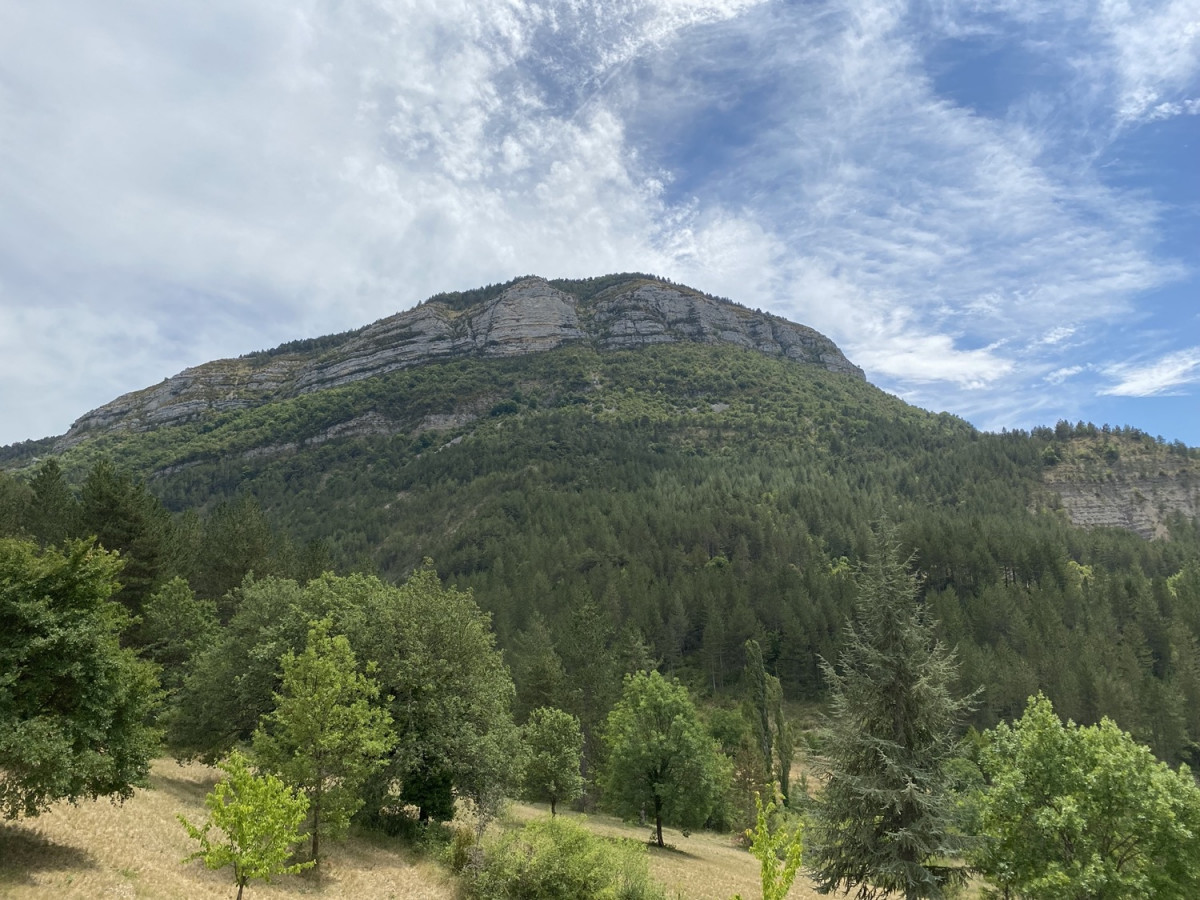

Just 5 km uphill to reach the Montrond, overlooking Rémuzat, enjoy an exceptional panoramic view. Wide paths will give way to narrow paths winding through the woods on the way down. Once you're back at Pas du Loup, you will complete this trail in an eight-shaped form by taking the path of Béatrix. You will encounter more technicity along the mountainside, with nice aerial passages.
The areas you are about to take cross a Natura 2000 area, known for its remarkable biodiversity. You too, participate in its preservation by adopting an eco-responsible attitude. There's an emblematic summit at the confluence of the Oule and Eygues, the Montrond sits above Rémuzat. This aptly named mountain is surrounded by an elegant cliff ledge that highlights its rounded summit. There is a dry and stony ridge lawn, spiked with Boxwood and favorable to several birds that nest there: the Alouette lulu, the Pipit rousseline, the Wheatear…

- Distance 9.7 km
- Elevation gain 580 m
- Elevation lost 580 m
- Min. elevation 446 m
- Max. elevation. 1009 m
- Duration (depending on pace) 1h à 2h30
- Marking n°9 blue
Vigilance: this circuit crosses breeding areas. There may be a presence of dog protection against wolves (see recommendations). This circuit may also be temporarily closed to meet the needs of breeders.


