Route n°11 - Par la Cambuse
Add to my favorites

Route opened
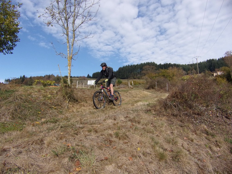
You‘ll have to hang on to climb some of the climbs without stopping. The itinerary starts with 4 km of paved road to warm up and then crosses woods and logging areas. When you reach the GR7, the route becomes flatter and you can enjoy the beautiful view of the crests and the difference in altitude. To finish: a last strong climb to deserve the beautiful descent to Grandris.
The characteristics of the route.
Grandris (69)
- Distance 24.1 km
- Elevation gain 870 m
- Elevation lost 870 m
- Min. elevation 419 m
- Max. elevation. 860 m
- Duration (depending on pace) 1h30 à 2h
- Marking Orange with n°11 on a red background
Area : Haute Vallée d'Azergues
Report a problem Add a comment
Site VTT FFC du Beaujolais Vert Roadbook for sail
Add your time and share your feelings
Services nearby
Azergues le plaisir de vivre
Grandris
Maison Louis BUFFIN
Grandris
Maison Familiale Rurale des 4 Vallées
Lamure-sur-Azergues
L'évasion entre prairie et forêts
Lamure-sur-Azergues
Chambres d'hôtes au château de Pramenoux
Saint-Nizier-d'Azergues


Follow us on
the digital trails
the digital trails


![]()
Info & contacts
Office de Tourisme du Beaujolais Vert
Lac des Sapins - 69550 Cublize
04.74.89.58.03
accueil@beaujolaisvert.com


OK
Annuler