Tour 4 From Tourvéon to Roche d'Ajoux
Add to my favorites

Route opened
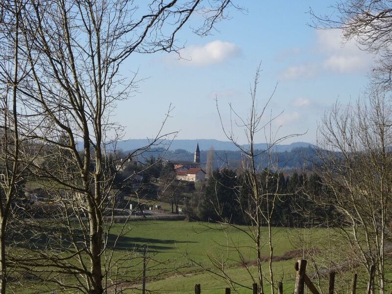
This long hike offers you beautiful views of the Mont Tourvéon (private). It leads to the Roche d'Ajoux, an ancient Celtic site.
The characteristics of the route.
Chénelette (69)
- Distance 15.8 km
- Elevation gain 580 m
- Elevation lost 580 m
- Min. elevation 592 m
- Max. elevation. 963 m
- Duration (depending on pace) 4h30
- Marking Yes
Average pace of 3.5km/h.Marking : Mark yellow with n°4 on a red backgroundAdmission fee : Free access.
Area : Haute Vallée d'Azergues
Report a problem
Website Roadbook on sale
Add your time and share your feelings
Services nearby

L'auberge de Laura
Chénelette
L'auberge de Laura
Chénelette
Gîte de la Pouge
Poule-les-Écharmeaux
La Voisinée
Chénelette
Bar pizzeria tabac AU RICOCHET
Poule-les-Écharmeaux


Information updated on 2021-08-20 by Office de Tourisme du Beaujolais Vert - Lac des sapins


Follow us on
the digital trails
the digital trails


![]()
Info & contacts
Office de Tourisme du Beaujolais Vert
Lac des Sapins - 69550 Cublize
04.74.89.58.03
accueil@beaujolaisvert.com
 Beaujolais Vert Pleine Nature - Parcours - Tour 4 From Tourvéon to Roche d'Ajoux
Hello, world! This is a toast message.
Beaujolais Vert Pleine Nature - Parcours - Tour 4 From Tourvéon to Roche d'Ajoux
Hello, world! This is a toast message.
Beaujolais Vert Pleine Nature - Parcours - Tour 4 From Tourvéon to Roche d'Ajoux
Hello, world! This is a toast message.


OK
Annuler