Tour 25 La cambuse
Add to my favorites

Route opened
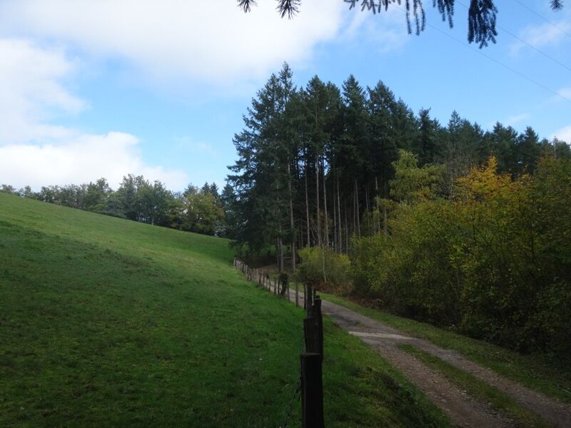
Numerous crosses punctuate this sporting course around Meaux-la-Montagne. After the hamlet of Bussières, you will go up along the Côte Verte forest to reach the highest point of the village.
The characteristics of the route.
Meaux-la-Montagne (69)
- Distance 14.4 km
- Elevation gain 500 m
- Elevation lost 500 m
- Min. elevation 480 m
- Max. elevation. 863 m
- Duration (depending on pace) 4h35
- Marking Yes
From there you will go down to the Roche des Fées to reach the Croix Villard. Then you will take the GR7 to pass the Cambuse pass, being careful when crossing the RD 504. You will go down towards the cross of Chollet then the cross of Nuiziére; from there you will go along the Castle of Magny to join the old railroad (Amplepuis-Saint Vincent de Reins) on the edge of the river "le Reins" and this, up to the place called Magny. Finally, you will take an undergrowth path to the place called "les Frettes" to reach the village.
Average pace of 3.5km/h.Marking : Mark yellow with n°25 on a red backgroundAdmission fee : Free access.
Average pace of 3.5km/h.Marking : Mark yellow with n°25 on a red backgroundAdmission fee : Free access.
Area : Pays Amplepuis Thizy
Report a problem
Website Roadbook on sale
Add your time and share your feelings
Services nearby

Restaurant "A table"
Meaux-la-Montagne

GITE ETAPE
Meaux-la-Montagne

Gîte de groupe de Meaux
Meaux-la-Montagne
La Maison d'Ida
Meaux-la-Montagne

Roulotte "La Bonne Aventure"
Meaux-la-Montagne


Information updated on 2021-08-20 by Office de Tourisme du Beaujolais Vert - Lac des sapins


Follow us on
the digital trails
the digital trails




Info & contacts
Office de Tourisme du Beaujolais Vert
Lac des Sapins - 69550 Cublize
04.74.89.58.03
accueil@beaujolaisvert.com
 Beaujolais Vert Pleine Nature - Parcours - Tour 25 La cambuse
Hello, world! This is a toast message.
Beaujolais Vert Pleine Nature - Parcours - Tour 25 La cambuse
Hello, world! This is a toast message.
Beaujolais Vert Pleine Nature - Parcours - Tour 25 La cambuse
Hello, world! This is a toast message.


OK
Annuler