Tour 13 From Notre Dame de la Roche to Sauvages
Add to my favorites

Route opened
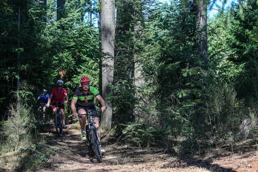
This circuit climbs to Notre-Dame de la Roche by a technical ascent, but the view at the top will reward the efforts.
The characteristics of the route.

Tarare (69)
- Distance 11.3 km
- Elevation gain 430 m
- Elevation lost 430 m
- Min. elevation 394 m
- Max. elevation. 747 m
- Duration (depending on pace) 0h50 à 1h09
- Marking Yes
It then joins by the Mont Chevrier to reach the Chapel of Bel Air overhanging the city of Tarare by a steep descent.
Between 50min to 1h10, depending on the paceMarking : Mark orange with n°13 on a bleu backgroundAdmission fee : Free access.
Between 50min to 1h10, depending on the paceMarking : Mark orange with n°13 on a bleu backgroundAdmission fee : Free access.
Area : Pays de Tarare
Report a problem
Website Site VTT FFC du Beaujolais Vert Roadbook for sail 
Totole
finished in 00:33:28
The 2023/10/14
En savoir plus
Totole
finished in 00:46:12
The 2023/10/10
En savoir plus
Ajouter votre chrono et partager vos sensations
Services nearby

Restaurant "Master Tacos"
Tarare
Restaurant-café "Le Centre"
Tarare
Restaurant-Pizzeria "Chez Jean-Pierre"
Tarare
The Popote : Atelier Culinaire, Épicerie & Fromagerie
Tarare
Restaurant "Megafood"
Tarare


Information updated on 2021-08-26 by Office de Tourisme du Beaujolais Vert - Lac des sapins


Follow us on
the digital trails
the digital trails




Info & contacts
Office de Tourisme du Beaujolais Vert
Lac des Sapins - 69550 Cublize
04.74.89.58.03
accueil@beaujolaisvert.com
 Beaujolais Vert Pleine Nature - Parcours - Tour 13 From Notre Dame de la Roche to Sauvages
Hello, world! This is a toast message.
Beaujolais Vert Pleine Nature - Parcours - Tour 13 From Notre Dame de la Roche to Sauvages
Hello, world! This is a toast message.
Beaujolais Vert Pleine Nature - Parcours - Tour 13 From Notre Dame de la Roche to Sauvages
Hello, world! This is a toast message.


OK
Annuler