Tour 18 D'une vallée à l'autre
Add to my favorites

Route opened
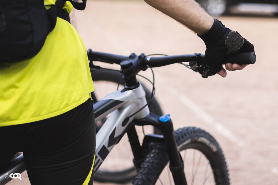
A tough and complete circuit allowing to test one's endurance by connecting the departures of Amplepuis at Clos du Crêt and Tarare.
The characteristics of the route.
Amplepuis (69)
- Distance 46.6 km
- Elevation gain 1350 m
- Elevation lost 1350 m
- Min. elevation 391 m
- Max. elevation. 857 m
- Duration (depending on pace) 3h20 à 4h40
- Marking Yes
This long loop goes from the Loire watershed to the Rhône watershed, crossing the watershed twice. After a first part with lots of elevation changesuntil the Col du Pin Bouchain, the passage of the Turdine valley at the Joux dam offers a deserved rest, before a new effort to reach Notre-Dame de la Roche. The reward is the view on Tarare and a passage at the foot of the four windmills of Valsonne.
Between 3h20h to 4h40, depending on the pace.
Start : Cublize (beach side) or Amplepuis (le clos du crêt)Marking : Mark orange with n°18 on a black backgroundAdmission fee : Free access.
Between 3h20h to 4h40, depending on the pace.
Start : Cublize (beach side) or Amplepuis (le clos du crêt)Marking : Mark orange with n°18 on a black backgroundAdmission fee : Free access.
Area : Pays Amplepuis Thizy
Report a problem
Website Site VTT FFC du Beaujolais Vert Roadbook for sail
Add your time and share your feelings
Services nearby

Turquoise
Amplepuis

Slow Mood
Amplepuis
La Gamm'elles
Amplepuis
Pizza et paëlla Leita
Amplepuis
Le Reverdis
Amplepuis


Information updated on 2021-08-26 by Office de Tourisme du Beaujolais Vert - Lac des sapins


Follow us on
the digital trails
the digital trails


![]()
Info & contacts
Office de Tourisme du Beaujolais Vert
Lac des Sapins - 69550 Cublize
04.74.89.58.03
accueil@beaujolaisvert.com
 Beaujolais Vert Pleine Nature - Parcours - Tour 18 D'une vallée à l'autre
Hello, world! This is a toast message.
Beaujolais Vert Pleine Nature - Parcours - Tour 18 D'une vallée à l'autre
Hello, world! This is a toast message.
Beaujolais Vert Pleine Nature - Parcours - Tour 18 D'une vallée à l'autre
Hello, world! This is a toast message.


OK
Annuler