Circuit 19 - Mont du Crépier
Add to my favorites

Route opened
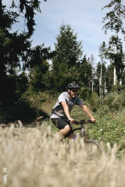
A tough and complete circuit allowing to test one's endurance by connecting the departures of Amplepuis at Clos du Crêt and Tarare.
The characteristics of the route.
Saint-Forgeux (69)
- Distance 21.49 km
- Elevation gain 700 m
- Elevation lost 700 m
- Min. elevation 332 m
- Max. elevation. 916 m
- Marking Yes
This long loop goes from the Loire watershed to the Rhône watershed, crossing the watershed twice. After a first part with lots of elevation changesuntil the Col du Pin Bouchain, the passage of the Turdine valley at the Joux dam offers a deserved rest, before a new effort to reach Notre-Dame de la Roche. The reward is the view on Tarare and a passage at the foot of the four windmills of Valsonne.
Between 3h20h to 4h40, depending on the pace.
Start : Cublize (beach side) or Amplepuis (le clos du crêt)Marking : Mark orange with n°18 on a black backgroundAdmission fee : Free access.Opening : All year round from Monday to Friday.
Between 3h20h to 4h40, depending on the pace.
Start : Cublize (beach side) or Amplepuis (le clos du crêt)Marking : Mark orange with n°18 on a black backgroundAdmission fee : Free access.Opening : All year round from Monday to Friday.
Report a problem
Website
Add your time and share your feelings
Services nearby

Le Turdinois
Vindry-sur-Turdine
Sporting Bar-restaurant
Vindry-sur-Turdine

Aire d'Accueil et de Services de Vindry-sur-Turdine
Vindry-sur-Turdine

Les Micocouliers
Vindry-sur-Turdine
Le Clos des Gentianes
Saint-Forgeux


Information updated on 2026-04-30 by Office de Tourisme du Beaujolais Vert - Lac des sapins


Follow us on
the digital trails
the digital trails


![]()
Info & contacts
Office de Tourisme du Beaujolais Vert
Lac des Sapins - 69550 Cublize
04.74.89.58.03
accueil@beaujolaisvert.com
 Beaujolais Vert Pleine Nature - Parcours - Circuit 19 - Mont du Crépier
Hello, world! This is a toast message.
Beaujolais Vert Pleine Nature - Parcours - Circuit 19 - Mont du Crépier
Hello, world! This is a toast message.
Beaujolais Vert Pleine Nature - Parcours - Circuit 19 - Mont du Crépier
Hello, world! This is a toast message.


OK
Annuler