Sentier Notre Dame du Mont
Add to my favorites

Route opened
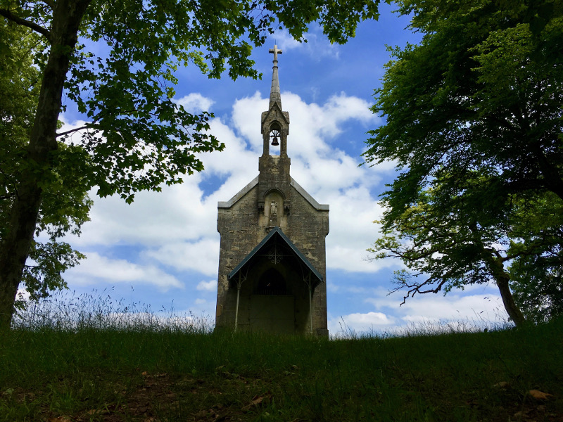
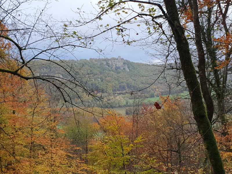
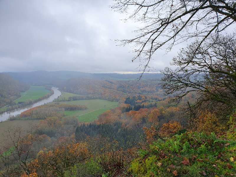
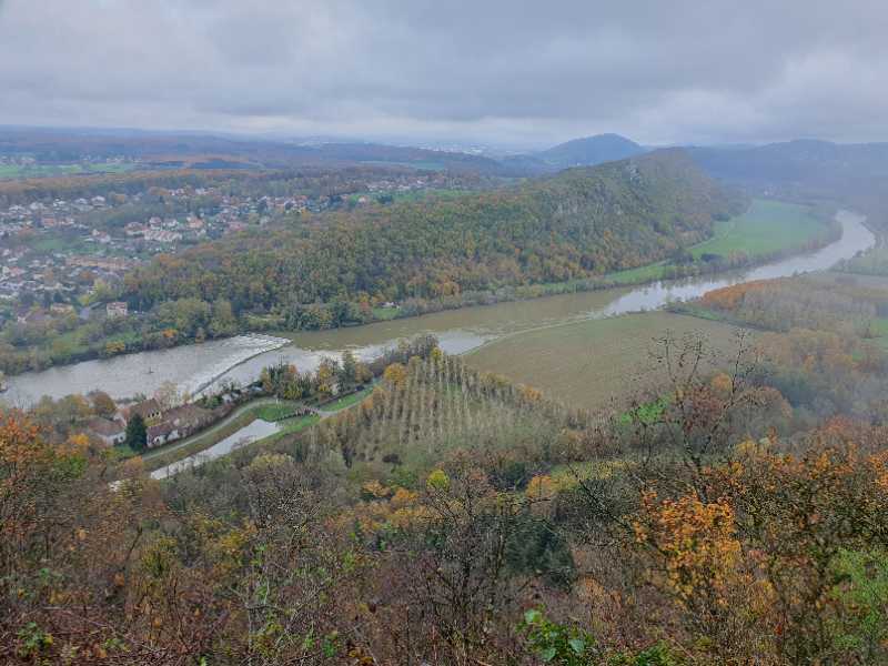
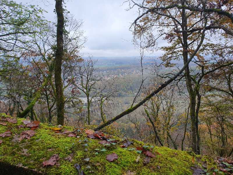
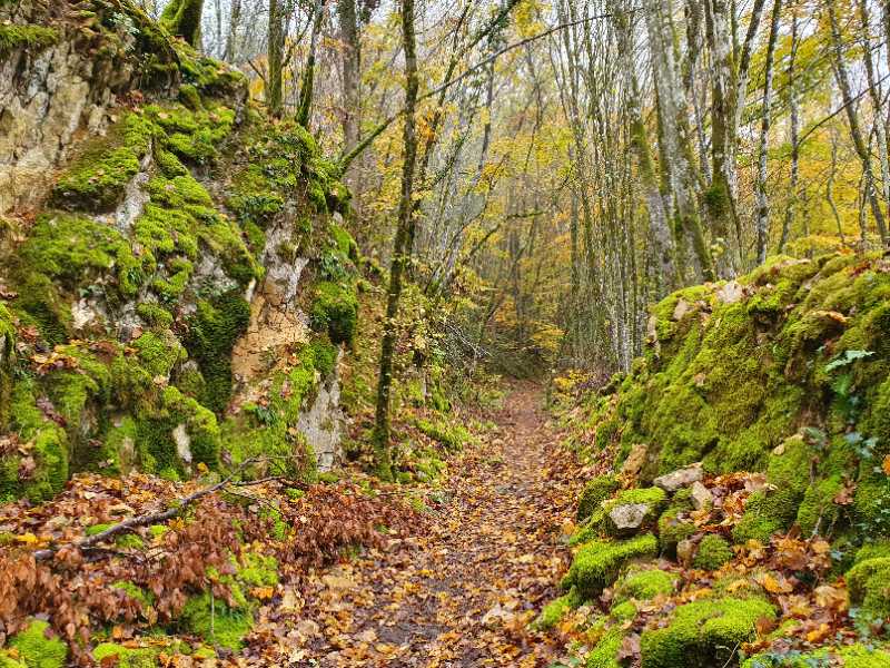
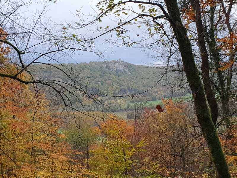
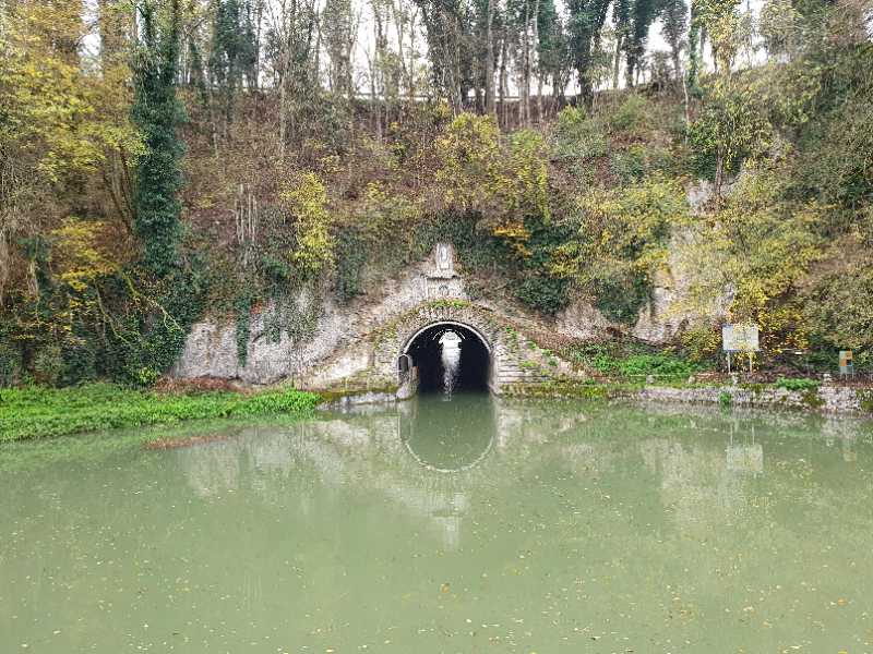
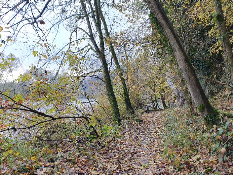
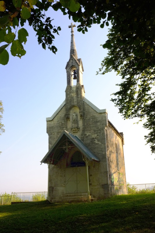
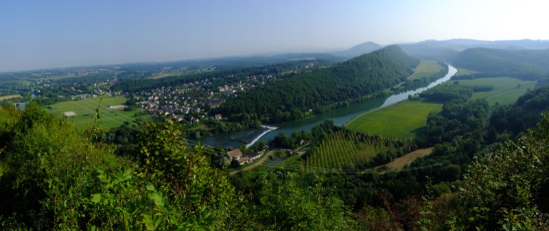
Loop for experienced walkers, combining steep ascent and technical descent, where panorama, curiosities and heritage buildings will make you forget your efforts.
Access lines 54
The characteristics of the route.

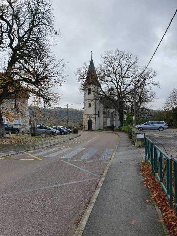
Thoraise (25)
- Distance 5.4 km
- Elevation gain 180 m
- Elevation lost 170 m
- Min. elevation 227 m
- Max. elevation. 394 m
- Duration (depending on pace) 1h45 à 2h30
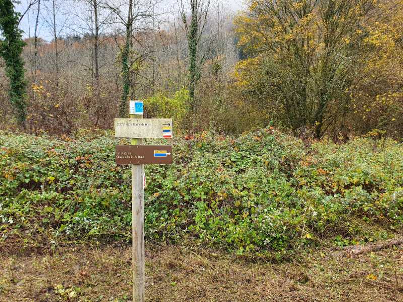
- Marking follow yellow/blue signs
severine-darlot
finished in 01:43:00
The 2022/11/20
En savoir plus
Fanny-P_39
finished in 01:45:00
The 2022/03/01
En savoir plus
Ajouter votre chrono et partager vos sensations
2022/11/20 01:43:00
severine-darlot
severine-darlot
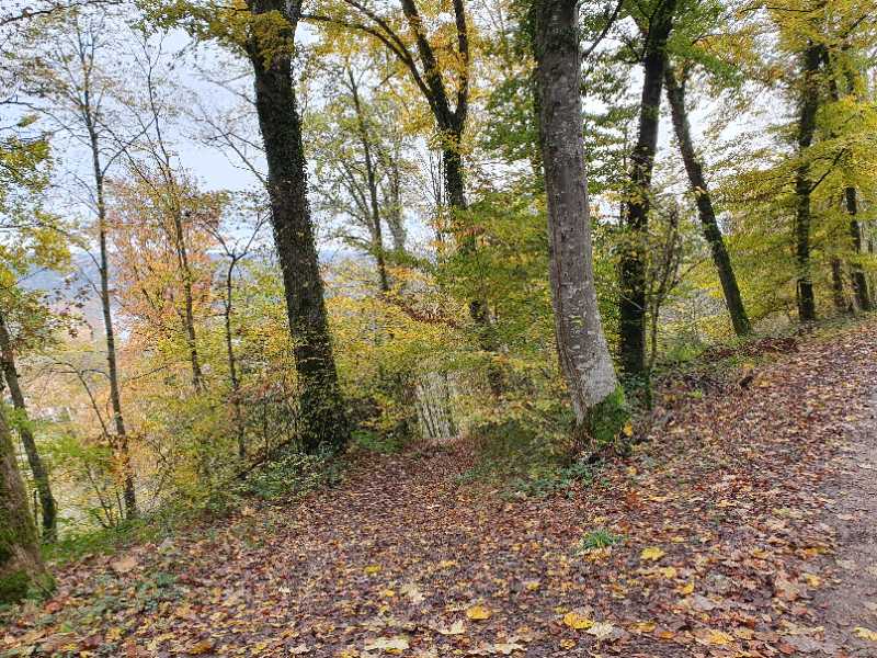
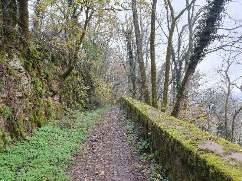
Cette boucle est vraiment sympa, elle alterne entre les bords du Doubs et de la forêt. Ça monte pas mal pour grimper jusqu'à la chapelle, mais ça vaut le coup. La vue est superbe. Les chemins dans la forêt sont vraiment très bien aménagés, ils sont très agréables à parcourir.
2022/03/01 01:45:00
Fanny-P_39
Fanny-P_39
2022/11/20 01:43:00
severine-darlot
severine-darlot
Cette boucle est vraiment sympa, elle alterne entre les bords du Doubs et de la forêt. Ça monte pas mal pour grimper jusqu'à la chapelle, mais ça vaut le coup. La vue est superbe. Les chemins dans la forêt sont vraiment très bien aménagés, ils sont très agréables à parcourir.
2022/03/01 01:45:00
Fanny-P_39
Fanny-P_39
Services nearby

Gîte l'Orée du Bois
Boussières
Au Doubs Repos
Vorges-les-Pins
Camping d'Osselle
Osselle
Chez Gervais
Chenecey Buillon
Les Jardins de Fraîche Comté
Roset-Fluans


Follow us on
the digital trails
the digital trails


![]()
Info & contacts
Ville de Besançon
Direction des Sports
+33(0)3 81 41 23 05
Grand Besançon Métropole
Service Tourisme
+33(0)3 81 87 88 61


OK
Annuler