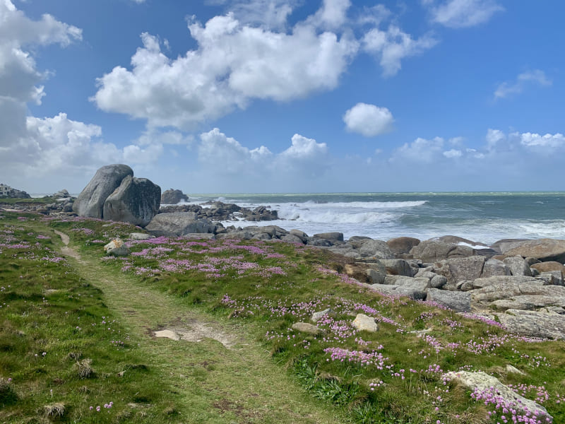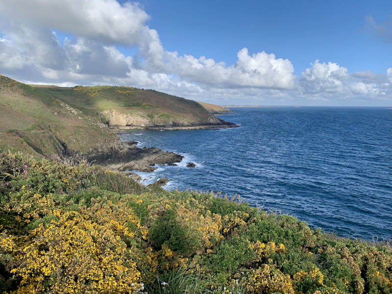
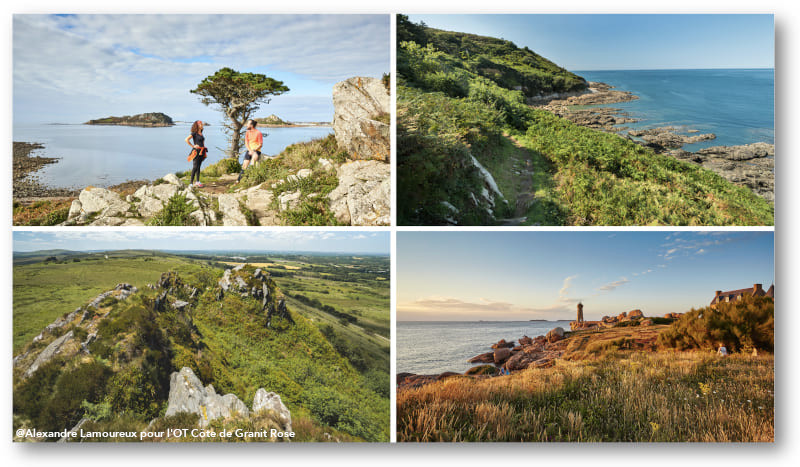
Une Bretagne maritime à découvrir au gré de vos foulées, avec sa côte contrastée, criques, dunes, falaises et son célèbre chaos de granit rose. Les parcours vous mènent de l’univers mystérieux des Monts d’Arrée, à celui de la vallée sauvage du Léguer, à l’histoire des cités bretonnes en parcourant les venelles pour découvrir leur patrimoine unique (cathédrales, maisons à pans de bois…). Une Bretagne aux mille visages, variants au gré des marées et des saisons. Un terrain de trail idéal vous attend pour jouer avec vos sens et vos jambes !
16.24km 296m 296m
Ploumilliau
Warning

17.06km 397m 397m
Trébeurden
Route opened
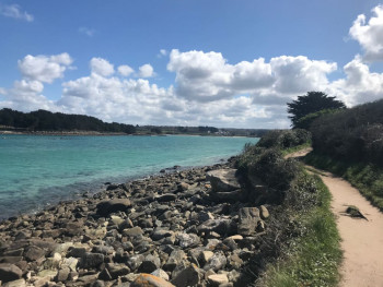
6.81km 12m 12m
Pleumeur-Bodou
Route opened
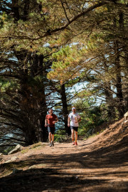
29.27km 480m 480m
Trébeurden
Route opened
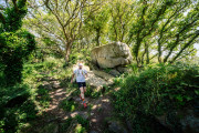
42.08km 653m 653m
Trébeurden
Route closed
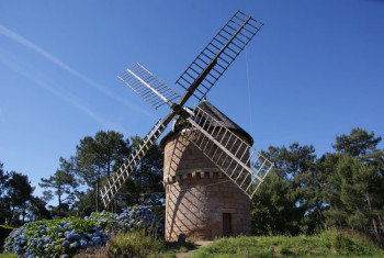
10.68km 144m 144m
Perros-Guirec
Route closed
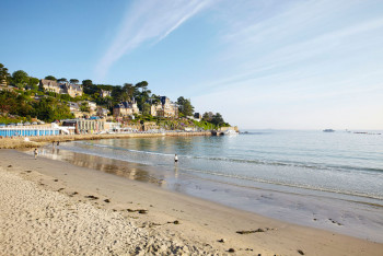
13.36km 218m 218m
Perros-Guirec
Route closed
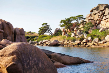
14.74km 209m 209m
Perros-Guirec
Route closed
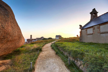
23.83km 362m 362m
Perros-Guirec
Route closed

9.67km 149m 149m
Tréguier
Route opened

36.05km 451m 451m
Tréguier
Warning
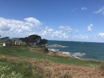
15.48km 211m 211m
Trévou-Tréguignec
Route closed
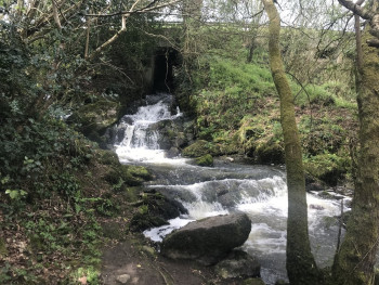
9.06km 131m 131m
Prat
Route opened
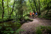
22.28km 392m 392m
Plouaret
Route opened
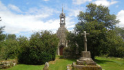
9.9km 151m 151m
Tonquédec
Route opened

9.19km 203m 203m
Loguivy-Plougras
Route opened

20.53km 356m 356m
Loguivy-Plougras
Route opened

33.5km 640m 640m
Loguivy-Plougras
Route opened
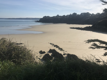
24.41km 481m 481m
Plestin-les-Grèves
Route opened
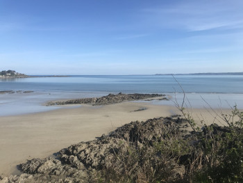
20.2km 384m 384m
Plestin-les-Grèves
Route opened
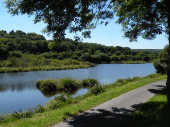
19.78km 347m 347m
Guerlesquin
Route opened
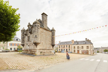
26.97km 525m 525m
Guerlesquin
Route opened
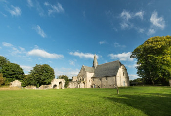
10.1km 230m 230m
Plounéour-Ménez
Route opened
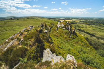
14.8km 340m 340m
Plounéour-Ménez
Route opened
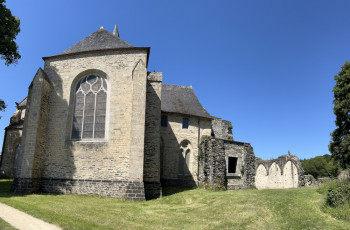
18.7km 370m 370m
Plounéour-Ménez
Route opened
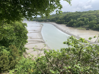
5.9km 244m 244m
Locquénolé
Route opened
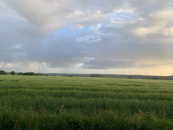
24.02km 400m 400m
Plourin-lès-Morlaix
Route opened
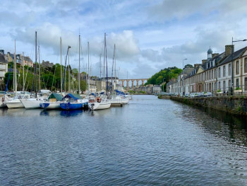
6.5km 290m 290m
Morlaix
Route opened
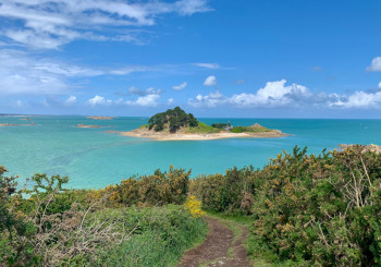
14.5km 240m 240m
Plouézoc’h
Route opened
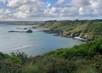
13.94km 311m 311m
Saint-Jean-du-Doigt
Warning
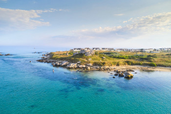
40.63km 165m 169m
Roscoff
Route opened
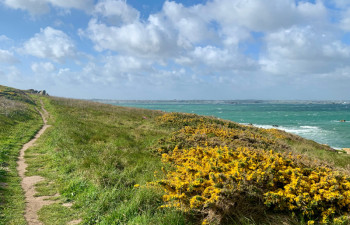
10.44km 84m 84m
Île-de-Batz
Warning
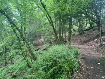
8.38km 219m 219m
Loc-Eguiner
Route opened
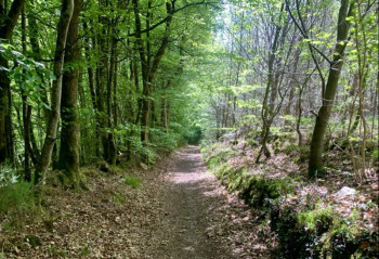
13.14km 215m 215m
Guimiliau
Route opened
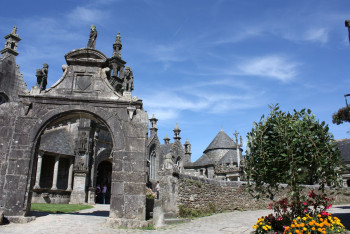
22.5km 410m 410m
Guimiliau
Route opened

43.4km 890m 890m
Guimiliau
Route opened
12.62km 272m 272m
Commana
Route opened

To help you find your way around, the Destination Trail Côte de Granit Rose Baie de Morlaix courses will soon be equipped with trail markers. On each marker will be affixed the number(s) of the course to be followed on their difficulty colour (green - blue - red - black).
Before the installation of trail-running markers, use the other supports at your disposal (GPX, PDF files, mobile app...).
Before your run :
- Check the weather forecast before you leave, the itineraries can be dangerous in case of bad weather
- Find out about the state of the route
- Before you leave inform someone close to you of your itinerary and the planned timetables
- Take water and food and drink
- Some routes along the coastal path are very popular in summer (routes marked with a "daybreak route" sticker). For these routes, in high season, favour early morning or late day outings.
On the routes :
- Please respect the natural and agricultural environments you pass through
- On the coastal path, avoid the use of sticks and stay on the marked route
- Stay on the paths and do not cut the laces
- All parts of the route using public roads are subject to the Highway Code please make sure that you observe them
- Keep all your rubbish with you
A problem ? Report it ! In the event of problem (lack of markings, maintenance problems, environmental problems...), do not hesitate to signal this problem by using the reporting tool available on the route page on the website (button under the map). You will be able to geolocate the problem and also send a corresponding photo. The Espace manager will be automatically notified of your report and will be able to check and deal with the problem.
