Tro Kore
Add to my favorites

Caution: Due to the storms that happened in November, some tracks may be impracticable or closed. Before going out, please contact the local authorities to have more information.
Warning
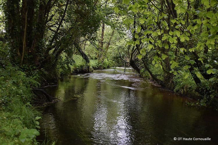
Au départ du stade de Poullen, ce circuit vallonné sans difficulté particulière vous mènera de village en village à la découverte de la chapelle Lochrist et du fleuve Odet.
The characteristics of the route.

Coray (29)
- Distance 28.3 km
- Elevation gain 520 m
- Elevation lost 520 m
- Min. elevation 85 m
- Max. elevation. 257 m
- Duration (depending on pace) 6h
- Marking Blue
Parcours pouvant être réalisé en VTT.
Pour plus de détails, voir la topo fiche.
Area : Haute Cornouaille
Report a problem Add a comment
Topo fiche - Tro Kore 
Find all the routes in your smartphone
Available this summer, the application Coeur de Bretagne will allow you to find all the trail running and hiking trails on your smartphone.
You will find many features in this application:
- locate yourself the route
- download data for offline access
- take advantage of detailed IGN maps
- add your chrono on the route
- find the services nearby...

Add your time and share your feelings
Services nearby

Domaine de Trévarez
Saint-Goazec

Gîte de Rudenez
Saint Thois

Loisirs en gare
Guiscriff
Gite Steraon
Saint Thois
Gare de Guiscriff
Guiscriff


Follow us on
the digital trails
the digital trails


![]()
Infos & contact
Destination Coeur de Bretagne - Kalon Breizh
6 rue Joseph Pennec
22110 Rostrenen
Tel. +33(0)2 96 29 26 53


OK
Annuler