Circuit de la Grée
Add to my favorites

Caution: Due to the storms that happened in November, some tracks may be impracticable or closed. Before going out, please contact the local authorities to have more information.
Warning

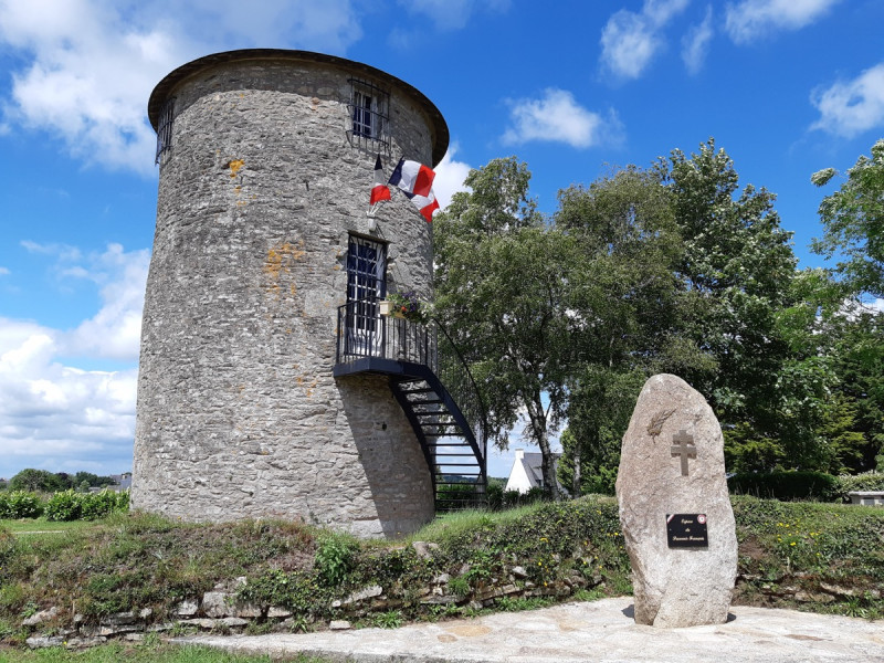
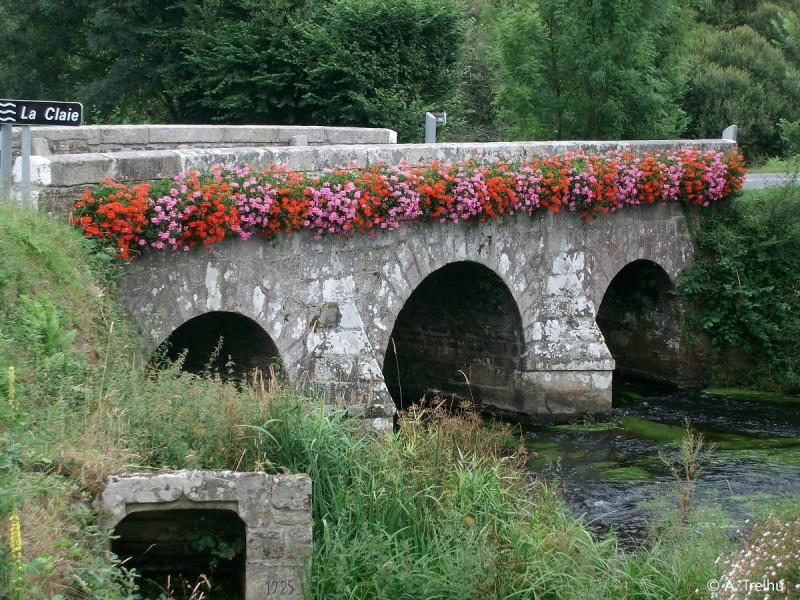
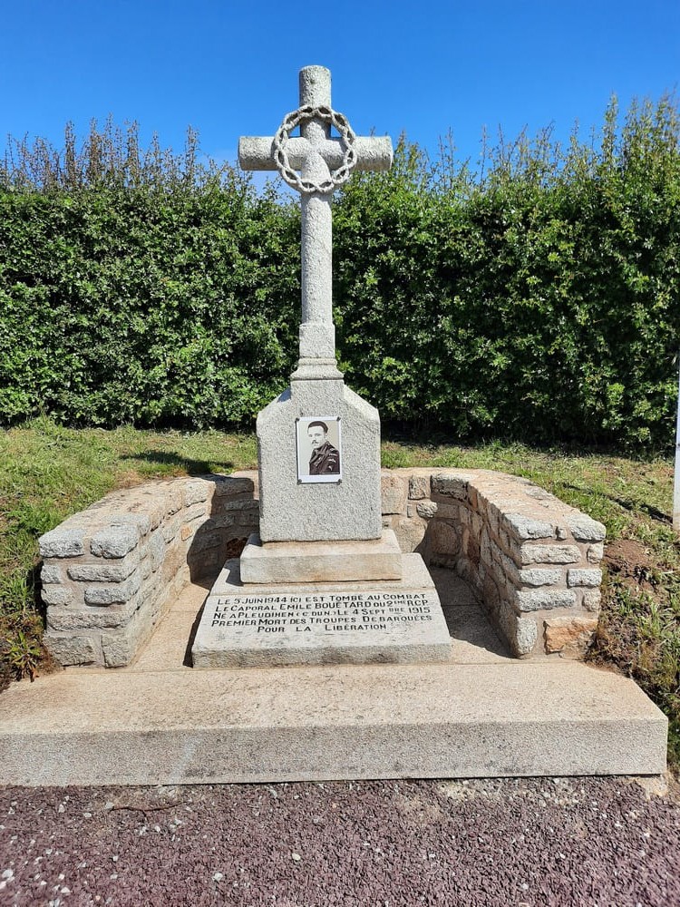
Le circuit de la Grée vous mène au cœur des landes de Lanvaux et de la vallée de la Claie. Un parcours bucolique où vous découvrirez l’histoire de la commune de Plumelec, marquée par la chouannerie et la seconde guerre mondiale. Départ depuis le parking de la carrière en haut de la côte de Cadoudal.
The characteristics of the route.

Plumelec (56)
- Distance 11 km
- Elevation gain 210 m
- Elevation lost 220 m
- Min. elevation 39 m
- Max. elevation. 164 m
- Duration (depending on pace) 3h
- Marking Yellow
Pour plus de détails, voir la topo fiche.
Area : Centre Morbihan
Report a problem Add a comment
Topo fiche - Circuit de la Grée 
Get every route in your smartphone
The Cœur de Bretagne app allows you to find all the trail running, hiking, biking and horseriding trails on your smartphone, and much more!
A lot of features are in the app, including:
- geolocalisation on the route
- download data for offline access
- detailed IGN maps
- add your chrono on the route
- find the services nearby...

Add your time and share your feelings
Services nearby

Domaine de Kerguéhennec
Bignan

JVS Cycling
Locminé
Véloccasion 56
Moustoir-Ac

Office de tourisme de Locminé
Locminé

Les gîtes du Graal
Plumelin


Follow us on
the digital trails
the digital trails


![]()
Infos & contact
Destination Coeur de Bretagne - Kalon Breizh
6 rue Joseph Pennec
22110 Rostrenen
Tel. +33(0)2 96 29 26 53


OK
Annuler