Circuit de la forge
Add to my favorites

Route opened
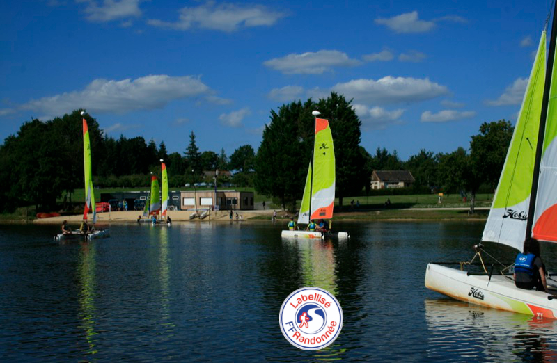
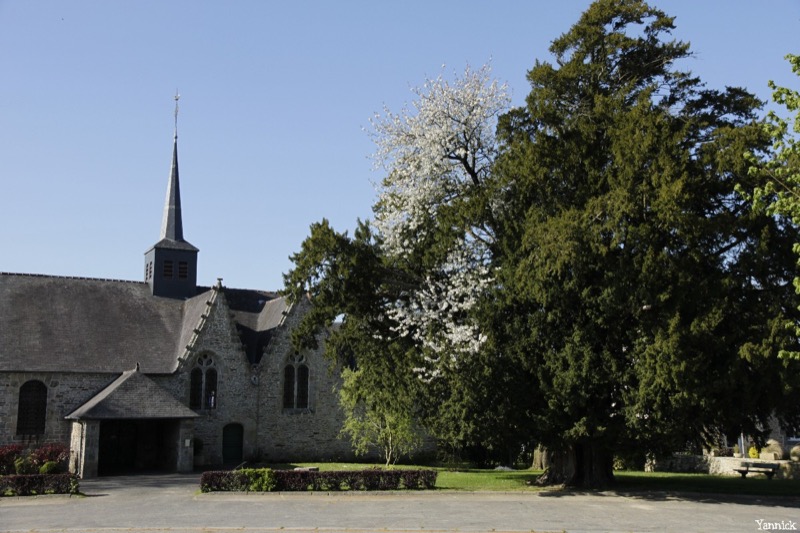
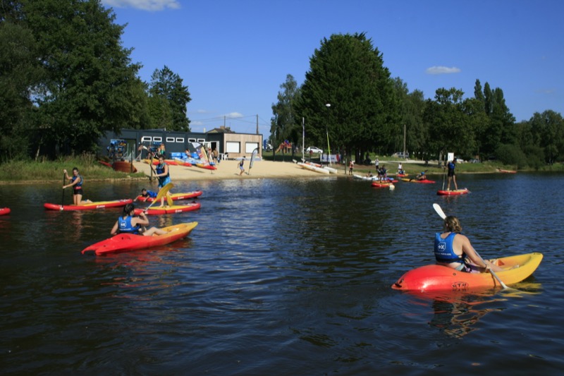
Ce circuit est une balade à la découverte du village fleuri de Saint-Launeuc, son église du XVe et son étang de la Hardouinais, plan d'eau artificiel créé pour les besoins du fonctionnement des forges sidérurgiques de la Hardouinais au XVIIe siècle aujourd’hui zone de loisir nautique prisée.
Route labeled FFRandonnée

The characteristics of the route.

Saint-Launeuc (22)
- Distance 3.9 km
- Elevation gain 30 m
- Elevation lost 30 m
- Min. elevation 133 m
- Max. elevation. 153 m
- Duration (depending on pace) 1h
- Marking Yellow
Area : Bretagne Centre
Report a problem

Get every route in your smartphone
The Cœur de Bretagne app allows you to find all the trail running, hiking, biking and horseriding trails on your smartphone, and much more!
A lot of features are in the app, including:
- geolocalisation on the route
- download data for offline access
- detailed IGN maps
- add your chrono on the route
- find the services nearby...

Add your time and share your feelings
Services nearby

Val de Landrouët
Merdrignac

Office de tourisme Bretagne Centre - Merdrignac
Merdrignac
Manoir de la Peignie
Merdrignac
Insolite en Mené
Saint-Vran

Base sports nature de Pont Querra
Plémet


Follow us on
the digital trails
the digital trails


![]()
Infos & contact
Destination Coeur de Bretagne - Kalon Breizh
6 rue Joseph Pennec
22110 Rostrenen
Tel. +33(0)2 96 29 26 53
 Destination Cœur de Bretagne - Parcours - Circuit de la forge
Hello, world! This is a toast message.
Destination Cœur de Bretagne - Parcours - Circuit de la forge
Hello, world! This is a toast message.
Destination Cœur de Bretagne - Parcours - Circuit de la forge
Hello, world! This is a toast message.


OK
Annuler