Chemin du Duc
Add to my favorites

Route opened
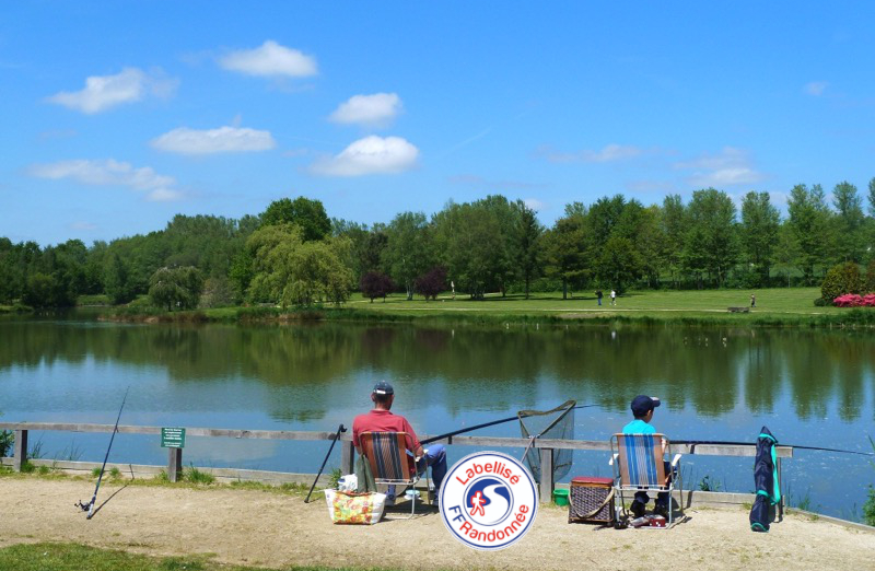
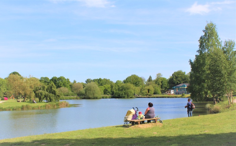
Jouxtant la forêt de La Hardouinais, et jadis vicus (hameau) sur la voie romaine de Rennes à Carhaix, la petite cité de Merdrignac arbore fièrement le site du Val de Landrouët et laisse découvrir sa campagne au fil de ses chemins et petites routes.
Route labeled FFRandonnée

The characteristics of the route.

Merdrignac (22)
- Distance 10.3 km
- Elevation gain 110 m
- Elevation lost 120 m
- Min. elevation 126 m
- Max. elevation. 183 m
- Duration (depending on pace) 3h
- Marking Yellow
Area : Bretagne Centre
Report a problem

Get every route in your smartphone
The Cœur de Bretagne app allows you to find all the trail running, hiking, biking and horseriding trails on your smartphone, and much more!
A lot of features are in the app, including:
- geolocalisation on the route
- download data for offline access
- detailed IGN maps
- add your chrono on the route
- find the services nearby...

Add your time and share your feelings
Services nearby

Office de tourisme Bretagne Centre - Merdrignac
Merdrignac

Val de Landrouët
Merdrignac
Manoir de la Peignie
Merdrignac
Insolite en Mené
Saint-Vran

Base sports nature de Pont Querra
Plémet


Follow us on
the digital trails
the digital trails


![]()
Infos & contact
Destination Coeur de Bretagne - Kalon Breizh
6 rue Joseph Pennec
22110 Rostrenen
Tel. +33(0)2 96 29 26 53
 Destination Cœur de Bretagne - Parcours - Chemin du Duc
Hello, world! This is a toast message.
Destination Cœur de Bretagne - Parcours - Chemin du Duc
Hello, world! This is a toast message.
Destination Cœur de Bretagne - Parcours - Chemin du Duc
Hello, world! This is a toast message.


OK
Annuler