Boucle de Saint Antoine
Add to my favorites

Route opened
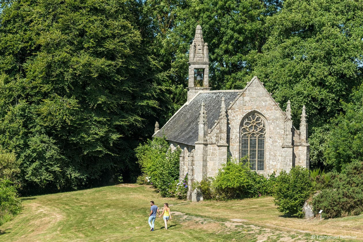
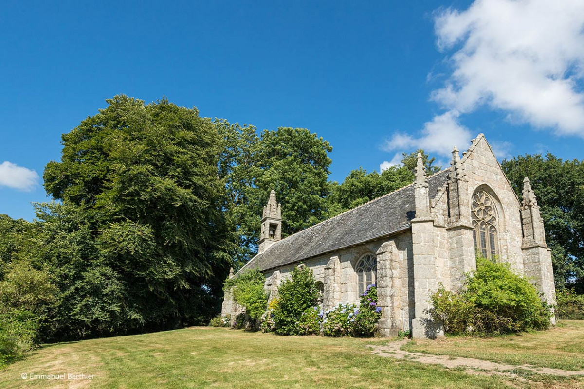
Entre chemins creux et sous-bois, découvrez le hameau de St-Antoine, sa chapelle, sa fontaine, les contreforts de l’étang de Kerné Uhel et son barrage hydroélectrique… Départ depuis la base nautique de Penn ar C'hoat.
Route labeled FFRandonnée

The characteristics of the route.
Lanrivain (22)
- Distance 5.5 km
- Elevation gain 120 m
- Elevation lost 120 m
- Min. elevation 220 m
- Max. elevation. 261 m
- Duration (depending on pace) 1h45
- Marking Yellow
Area : Kreiz Breizh
Report a problem

Get every route in your smartphone
The Cœur de Bretagne app allows you to find all the trail running, hiking, biking and horseriding trails on your smartphone, and much more!
A lot of features are in the app, including:
- geolocalisation on the route
- download data for offline access
- detailed IGN maps
- add your chrono on the route
- find the services nearby...

Add your time and share your feelings
Services nearby

Gite Colet Even Bras
Colet even Bras 22480 Peumerit-Quintin

Team du Pélem
Saint Nicolas du Pélem

Trail Team du Pélem
Saint Nicolas du Pélem

Les routes de la transition
3 rue de Verdun 22110 Rostrenen
Henri4
Rostrenen


Follow us on
the digital trails
the digital trails


![]()
Infos & contact
Destination Coeur de Bretagne - Kalon Breizh
6 rue Joseph Pennec
22110 Rostrenen
Tel. +33(0)2 96 29 26 53
 Destination Cœur de Bretagne - Parcours - Boucle de Saint Antoine
Hello, world! This is a toast message.
Destination Cœur de Bretagne - Parcours - Boucle de Saint Antoine
Hello, world! This is a toast message.
Destination Cœur de Bretagne - Parcours - Boucle de Saint Antoine
Hello, world! This is a toast message.


OK
Annuler