
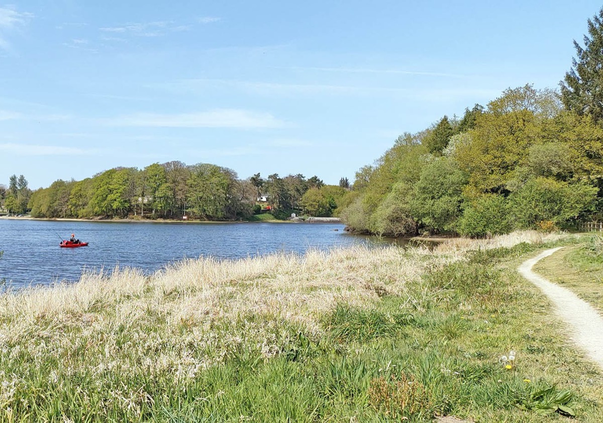
L'étang du Korong couvre 75 hectares et contient 3 millions de mètres cubes d'eau. Au début du XIXème siècle, les ingénieurs décidèrent de construire le barrage actuel pour étendre un étang datant du moyen-âge et créer une réserve d'eau suffisante pour alimenter le bief de partage des eaux du canal de Nantes à Brest durant la saison sèche. Ainsi fut créé l'étang du Korong.
Profitez de l'ambiance paisible de l'étang, entre chemins creux, passerelles et ruisseaux vous aurez peut-être l'occasion de d'observer des oiseaux migrateurs. Départ devant le camping du Korong.

- Distance 6 km
- Elevation gain 50 m
- Elevation lost 50 m
- Min. elevation 202 m
- Max. elevation. 219 m
- Duration (depending on pace) 2h
- Marking Yellow

Available this summer, the application Coeur de Bretagne will allow you to find all the trail running and hiking trails on your smartphone.
You will find many features in this application:
- locate yourself the route
- download data for offline access
- take advantage of detailed IGN maps
- add your chrono on the route
- find the services nearby...


the digital trails


![]()
Infos & contact
Destination Coeur de Bretagne - Kalon Breizh
6 rue Joseph Pennec
22110 Rostrenen
Tel. +33(0)2 96 29 26 53

