Circuit de l'Illys
Add to my favorites

Route opened
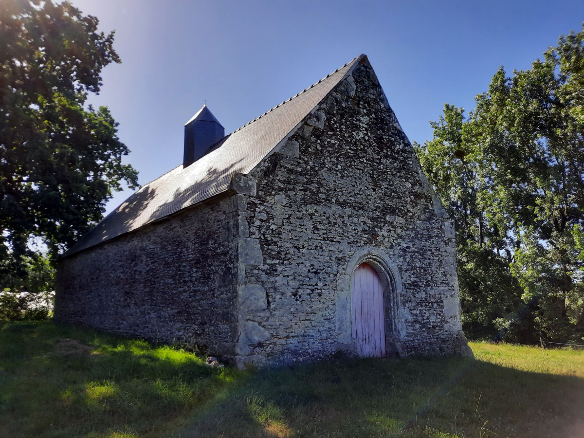
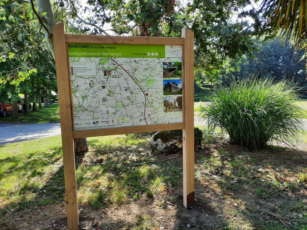
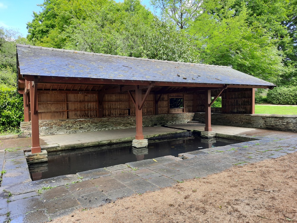
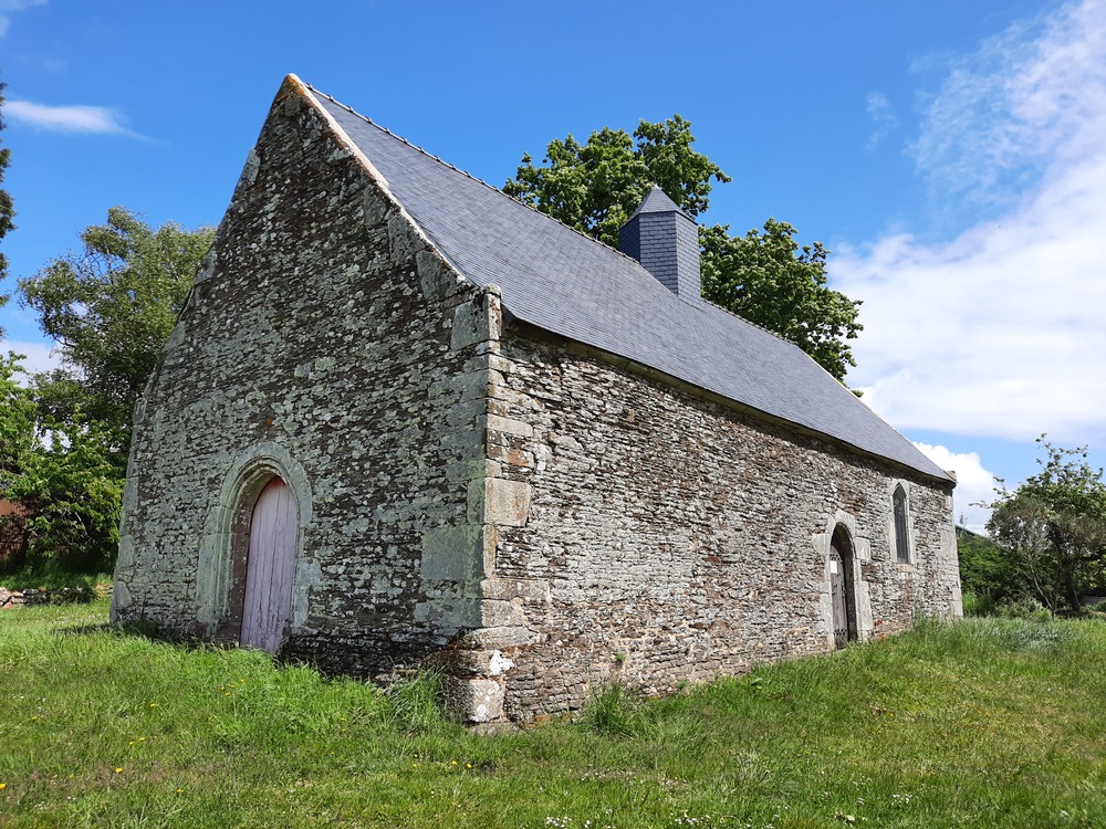
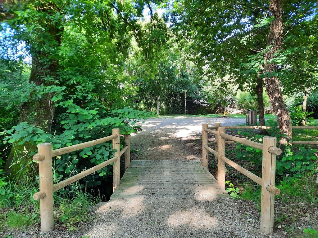
Au travers de paysages variés, en longeant un ruisseau ou en empruntant l'ancienne voie ferrée et des sentiers en sous-bois, vous découvrirez la commune d'Evellys. Tout au long du parcours, vous pourrez admirer son patrimoine, notamment la chapelle Notre-Dame des Fleurs et sa fontaine au Moric, son église, son lavoir.
The characteristics of the route.
Evellys (56)
- Distance 13.6 km
- Elevation gain 140 m
- Elevation lost 140 m
- Min. elevation 61 m
- Max. elevation. 112 m
- Duration (depending on pace) 3h21 à 3h30
- Marking PR jaune
Pour plus de détails, voir la topo-fiche.
Area : Centre Morbihan
Report a problem
Website Topo fiche Circuit de l'Illys Centre Morbihan 
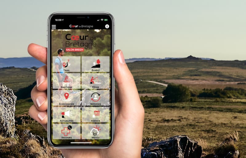
Get every route in your smartphone
The Cœur de Bretagne app allows you to find all the trail running, hiking, biking and horseriding trails on your smartphone, and much more!
A lot of features are in the app, including:
- geolocalisation on the route
- download data for offline access
- detailed IGN maps
- add your chrono on the route
- find the services nearby...
Add your time and share your feelings
Services nearby

Moulin de Kergouët
Pluméliau
Pontivy Bike
Pontivy
Décathlon Pontivy
Pontivy
Les logis de Penkêr
Pontivy
Giant
Pontivy



Follow us on
the digital trails
the digital trails



Infos & contact
Destination Coeur de Bretagne - Kalon Breizh
6 rue Joseph Pennec
22110 Rostrenen
Tel. +33(0)2 96 29 26 53
 Destination Cœur de Bretagne - Parcours - Circuit de l'Illys
Hello, world! This is a toast message.
Destination Cœur de Bretagne - Parcours - Circuit de l'Illys
Hello, world! This is a toast message.
Destination Cœur de Bretagne - Parcours - Circuit de l'Illys
Hello, world! This is a toast message.


OK
Annuler