Guerlédan : de Landroannec à Beau Rivage
Add to my favorites

Caution: Due to the storms that happened in November, some tracks may be impracticable or closed. Before going out, please contact the local authorities to have more information.
Route opened
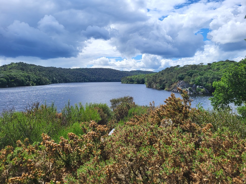
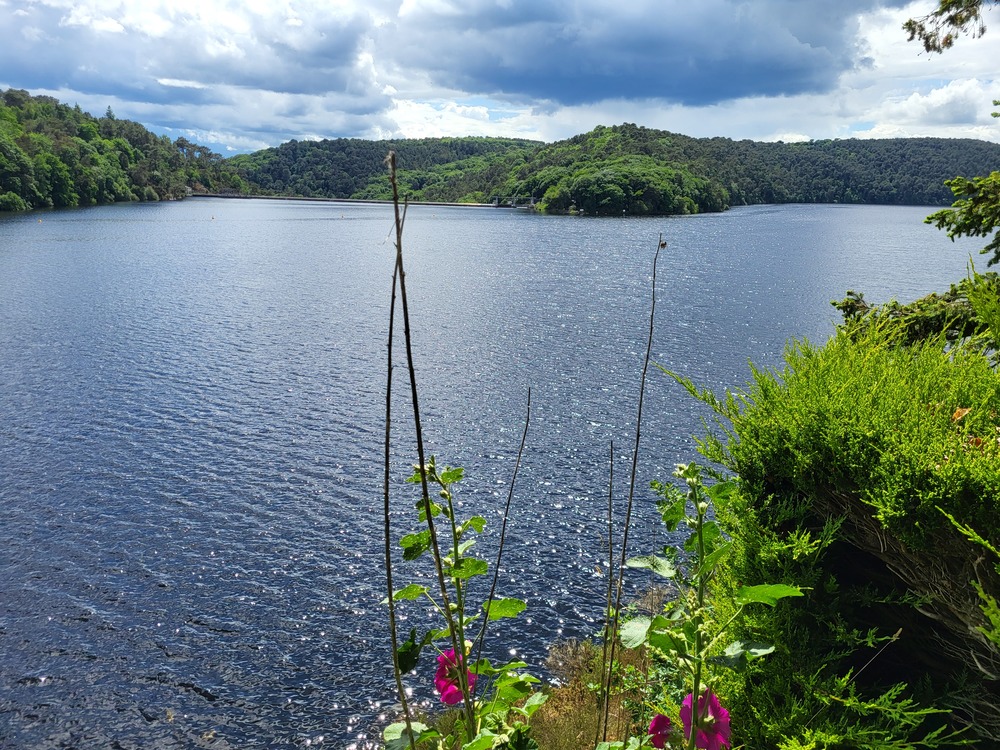
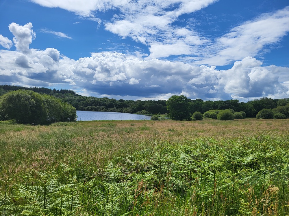
En famille, empruntez la V6 avec en toile de fond, le lac de Guerlédan. Vous découvrirez un petit hameau et son lavoir avant de rejoindre les bords du lac pour, pourquoi pas, vous relaxer ou vous baigner. Cette boucle est idéale pour les petits comme pour les grands.
Boucle non balisée, utilisez la trace GPX.
The characteristics of the route.

Guerlédan (56)
- Distance 18.3 km
- Elevation gain 250 m
- Elevation lost 250 m
- Min. elevation 122 m
- Max. elevation. 205 m
- Duration (depending on pace) 1h30 à 2h

Get every route in your smartphone
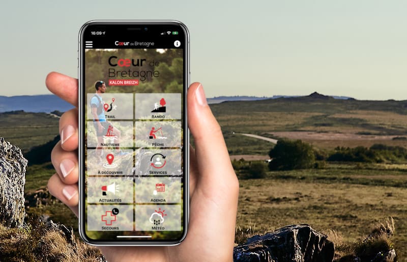
The Cœur de Bretagne app allows you to find all the trail running, hiking, biking and horseriding trails on your smartphone, and much more!
A lot of features are in the app, including:
- geolocalisation on the route
- download data for offline access
- detailed IGN maps
- add your chrono on the route
- find the services nearby...
Add your time and share your feelings
Services nearby

Base départemental de plein air
Guerlédan

Camping Le point de Vue
Guerlédan
Village Club Miléade
Guerlédan
L'âne Brasseur
Lann Guilloux Saint-Aignan
Les Vergers de Guerlédan
Guerlédan



Follow us on
the digital trails
the digital trails



Infos & contact
Destination Coeur de Bretagne - Kalon Breizh
6 rue Joseph Pennec
22110 Rostrenen
Tel. +33(0)2 96 29 26 53
 Destination Cœur de Bretagne - Parcours - Guerlédan : de Landroannec à Beau Rivage
Hello, world! This is a toast message.
Destination Cœur de Bretagne - Parcours - Guerlédan : de Landroannec à Beau Rivage
Hello, world! This is a toast message.
Destination Cœur de Bretagne - Parcours - Guerlédan : de Landroannec à Beau Rivage
Hello, world! This is a toast message.


OK
Annuler