Circuit du Sourn à vélo
Add to my favorites

Route opened
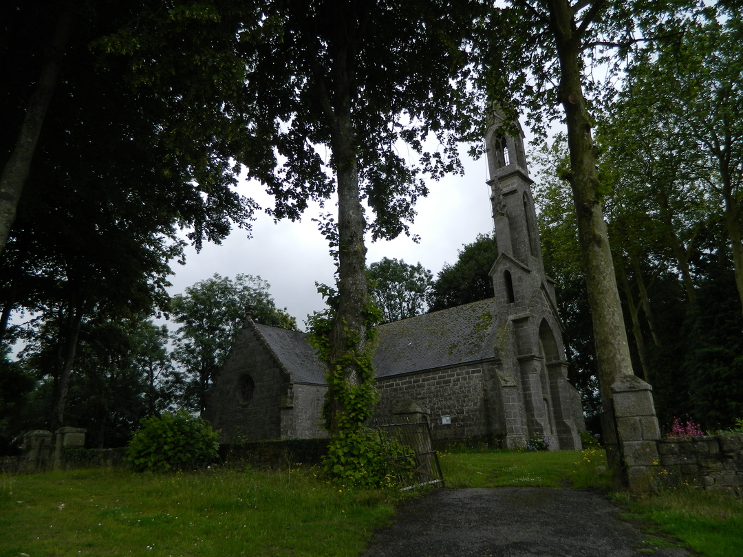
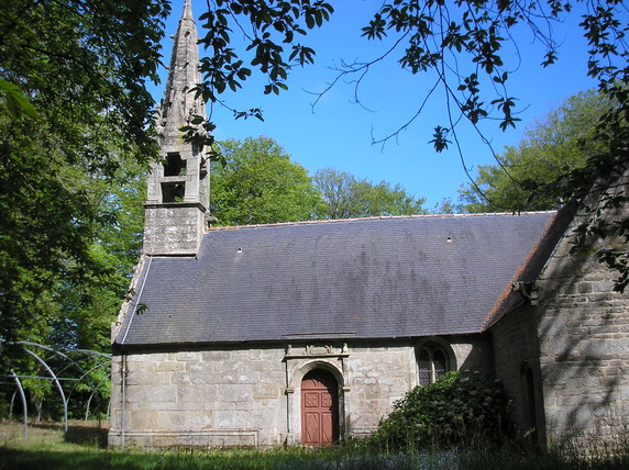
Cette petite escapade d'une vingtaine de kilomètres vous conduira le long de la vallée du Blavet depuis Pontivy, cité des Rohan, vers des bourgs et des chapelles qui retracent une riche histoire locale.
Circuit non balisé, télécharger la trace GPX.
The characteristics of the route.
Pontivy (56)
- Distance 24.2 km
- Elevation gain 240 m
- Elevation lost 240 m
- Min. elevation 45 m
- Max. elevation. 120 m
- Duration (depending on pace) 2h à 2h30

Get every route in your smartphone
The Cœur de Bretagne app allows you to find all the trail running, hiking, biking and horseriding trails on your smartphone, and much more!
A lot of features are in the app, including:
- geolocalisation on the route
- download data for offline access
- detailed IGN maps
- add your chrono on the route
- find the services nearby...

Add your time and share your feelings
Services nearby

Pays des Rohan
Pontivy

Office de tourisme de Pontivy Communauté
Pontivy
Pontivy Napoléonville
Pontivy

Trail du Kreiz Breizh
Pontivy

Hôtel Le Rohan
Pontivy


Follow us on
the digital trails
the digital trails


![]()
Infos & contact
Destination Coeur de Bretagne - Kalon Breizh
6 rue Joseph Pennec
22110 Rostrenen
Tel. +33(0)2 96 29 26 53


OK
Annuler