
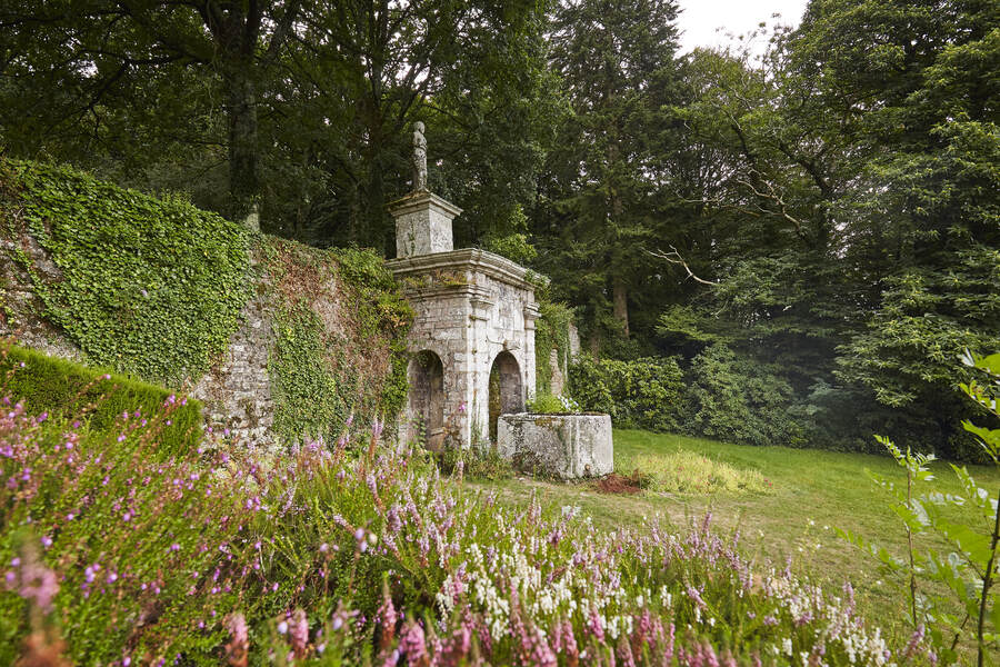
Ce circuit vous fera découvrir le patrimoine baldivien, en partant à la découverte de ses différents villages. Au début de votre parcours, vous quitterez le centre-ville de Baud pour longer différents plans d’eau. Vous emprunterez ensuite un magnifique chemin creux bordé de chênes centenaires. Vous emprunterez un soius-bois. Vous pourrez aller admirer la Vénus de Quinipily. Vous longerez les anciennes carrières de Baud, aujourd’hui devenues des étangs et rejoindrez votre point de départ.

- Distance 13.8 km
- Elevation gain 290 m
- Elevation lost 290 m
- Min. elevation 26 m
- Max. elevation. 128 m
- Duration (depending on pace) 3h15
- Marking Rando jaune
Attentions à certaines routes à circulations fréquentes.

Available this summer, the application Coeur de Bretagne will allow you to find all the trail running and hiking trails on your smartphone.
You will find many features in this application:
- locate yourself the route
- download data for offline access
- take advantage of detailed IGN maps
- add your chrono on the route
- find the services nearby...


the digital trails


![]()
Infos & contact
Destination Coeur de Bretagne - Kalon Breizh
6 rue Joseph Pennec
22110 Rostrenen
Tel. +33(0)2 96 29 26 53

