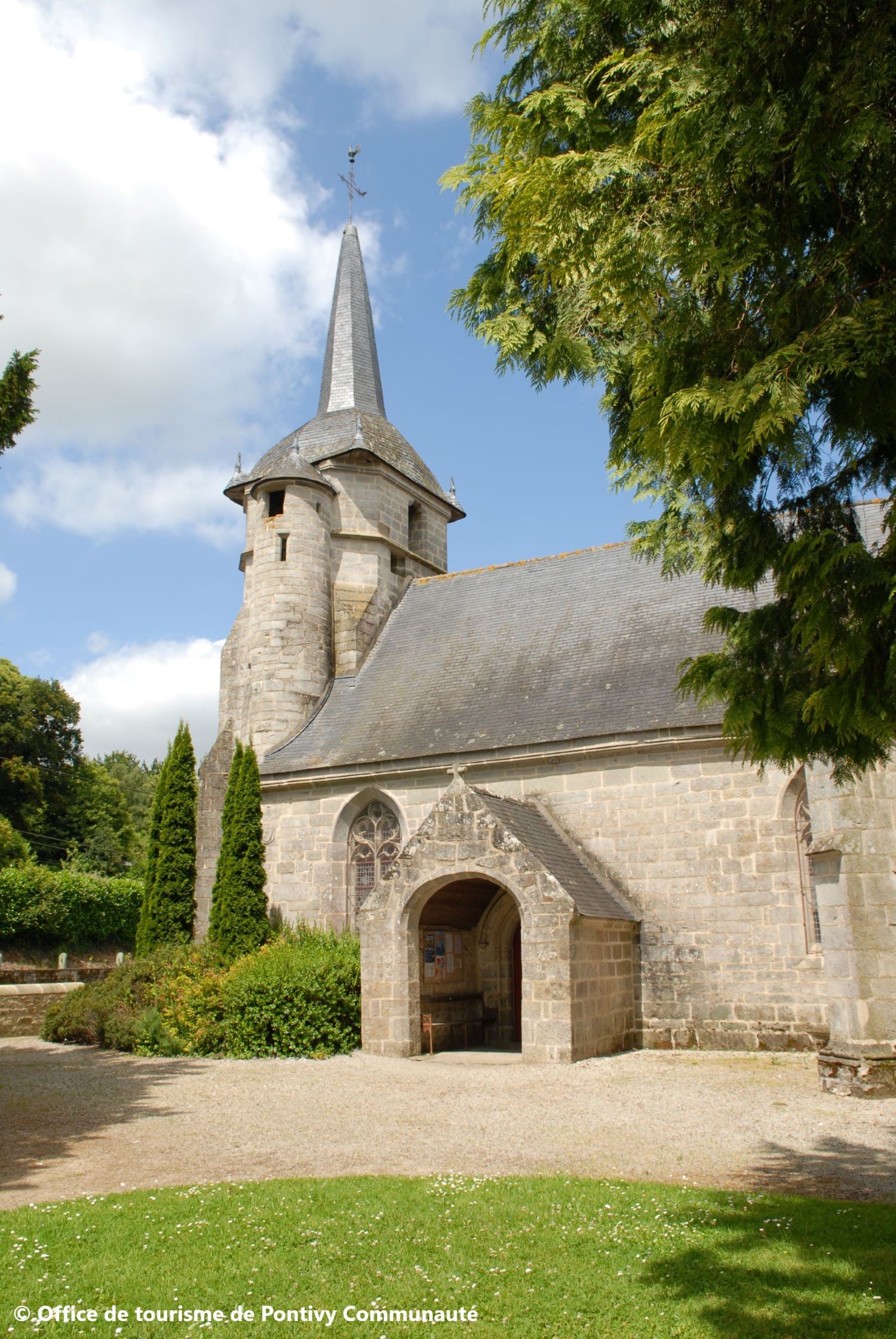
Église Saint-Mériadec et chapelle Saint-Molvan
Add to my favorites

Route opened

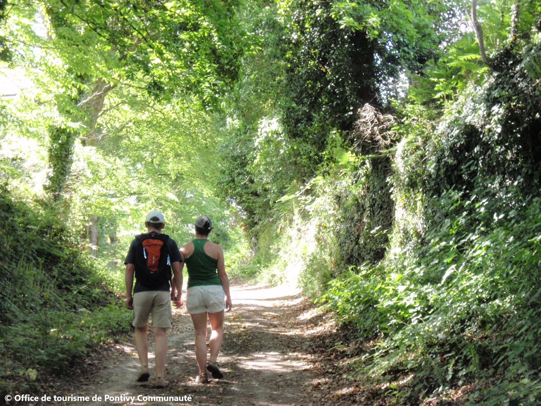
Découvrez le bourg de Stival et ses chemins creux environnants. "Stival" vient du breton "stivell" qui signifie source, fontaine. Ce bourg à la frontière de Cléguérec fut érigé en commune en 1789. C'est en 1805 que l'empereur Napoléon Ier signe un décret la rattachant à Napoléonville, ancien nom de Pontivy. Les passionnés de patrimoine architectural et de chemins creux en sous bois y trouveront leur bonheur.
The characteristics of the route.

Pontivy (56)
- Distance 5.3 km
- Elevation gain 130 m
- Elevation lost 130 m
- Min. elevation 61 m
- Max. elevation. 135 m
- Duration (depending on pace) 1h30
- Marking Jaune

Get every route in your smartphone
The Cœur de Bretagne app allows you to find all the trail running, hiking, biking and horseriding trails on your smartphone, and much more!
A lot of features are in the app, including:
- geolocalisation on the route
- download data for offline access
- detailed IGN maps
- add your chrono on the route
- find the services nearby...

Add your time and share your feelings
Services nearby

Auberge de Jeunesse
Pontivy
Hôtel du Château
Pontivy

Pontivy Napoléonville
Pontivy

Office de tourisme de Pontivy Communauté
Pontivy
Pays des Rohan
Pontivy


Follow us on
the digital trails
the digital trails


![]()
Infos & contact
Destination Coeur de Bretagne - Kalon Breizh
6 rue Joseph Pennec
22110 Rostrenen
Tel. +33(0)2 96 29 26 53
 Destination Cœur de Bretagne - Parcours - Église Saint-Mériadec et chapelle Saint-Molvan
Hello, world! This is a toast message.
Destination Cœur de Bretagne - Parcours - Église Saint-Mériadec et chapelle Saint-Molvan
Hello, world! This is a toast message.
Destination Cœur de Bretagne - Parcours - Église Saint-Mériadec et chapelle Saint-Molvan
Hello, world! This is a toast message.


OK
Annuler