Les étangs et la forêt de Branguily
Add to my favorites

Route opened
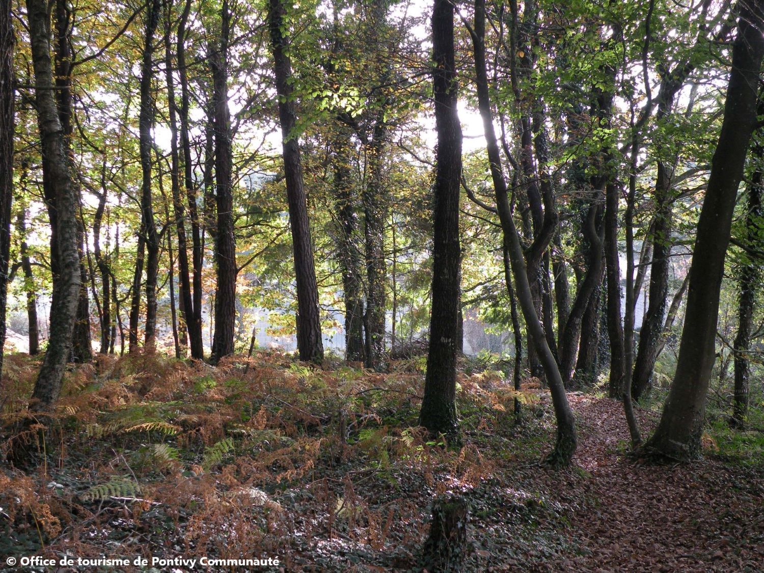
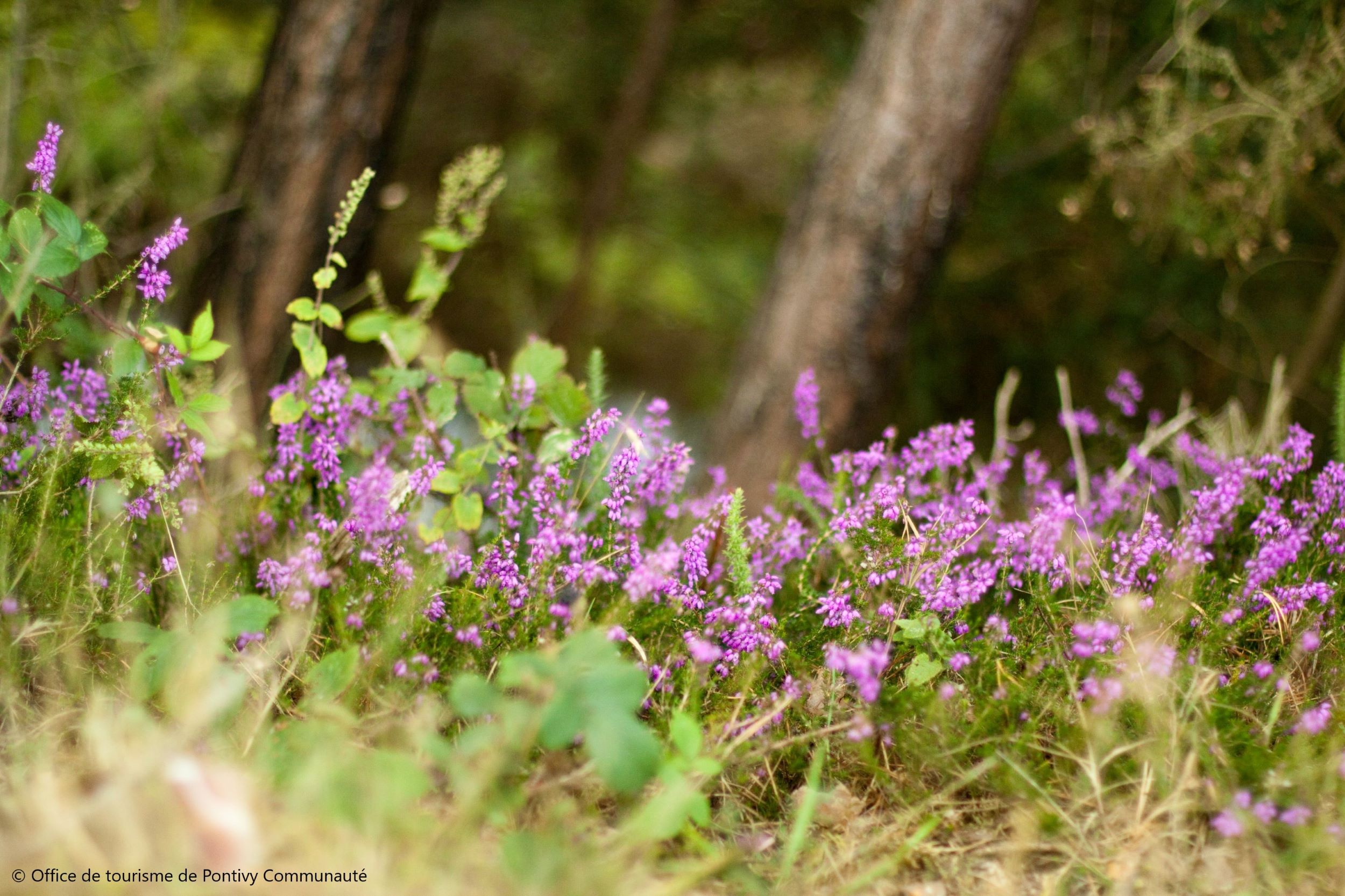
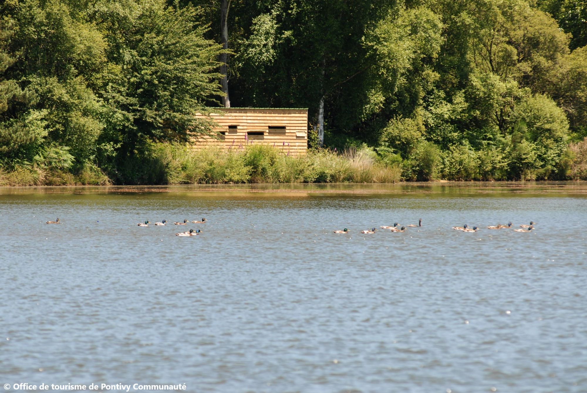
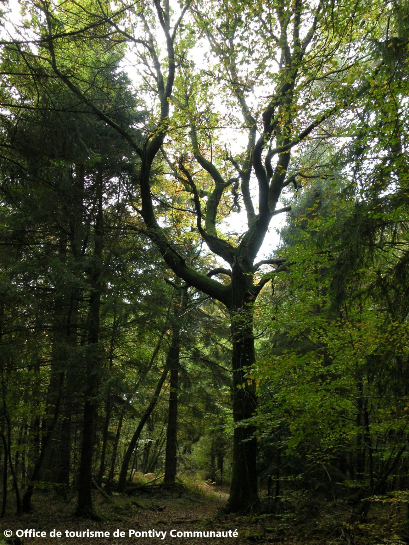
Branguily, un site exceptionnel pour les amoureux de la nature. Gueltas est le nom breton de Saint Gildas. Selon la tradition locale, il serait venu plusieurs fois se ressourcer dans la forêt de Branguily avec ses étangs et ses tourbières constitue un formidable réservoir de richesses naturelles.
The characteristics of the route.

Gueltas (56)
- Distance 5.8 km
- Elevation gain 40 m
- Elevation lost 40 m
- Min. elevation 123 m
- Max. elevation. 151 m
- Duration (depending on pace) 0h45
- Marking Jaune
Area : Pontivy
Report a problem Add a comment

Get every route in your smartphone
The Cœur de Bretagne app allows you to find all the trail running, hiking, biking and horseriding trails on your smartphone, and much more!
A lot of features are in the app, including:
- geolocalisation on the route
- download data for offline access
- detailed IGN maps
- add your chrono on the route
- find the services nearby...

Add your time and share your feelings
Services nearby

Domaine des Can'Haltes
Gueltas
Ferme de la Cavalerie
Saint Gonnery
Maison éclusière du Guer n.54
Rohan
D'Armor en Argoat
Rohan

Point information de Rohan
Rohan


Follow us on
the digital trails
the digital trails


![]()
Infos & contact
Destination Coeur de Bretagne - Kalon Breizh
6 rue Joseph Pennec
22110 Rostrenen
Tel. +33(0)2 96 29 26 53


OK
Annuler