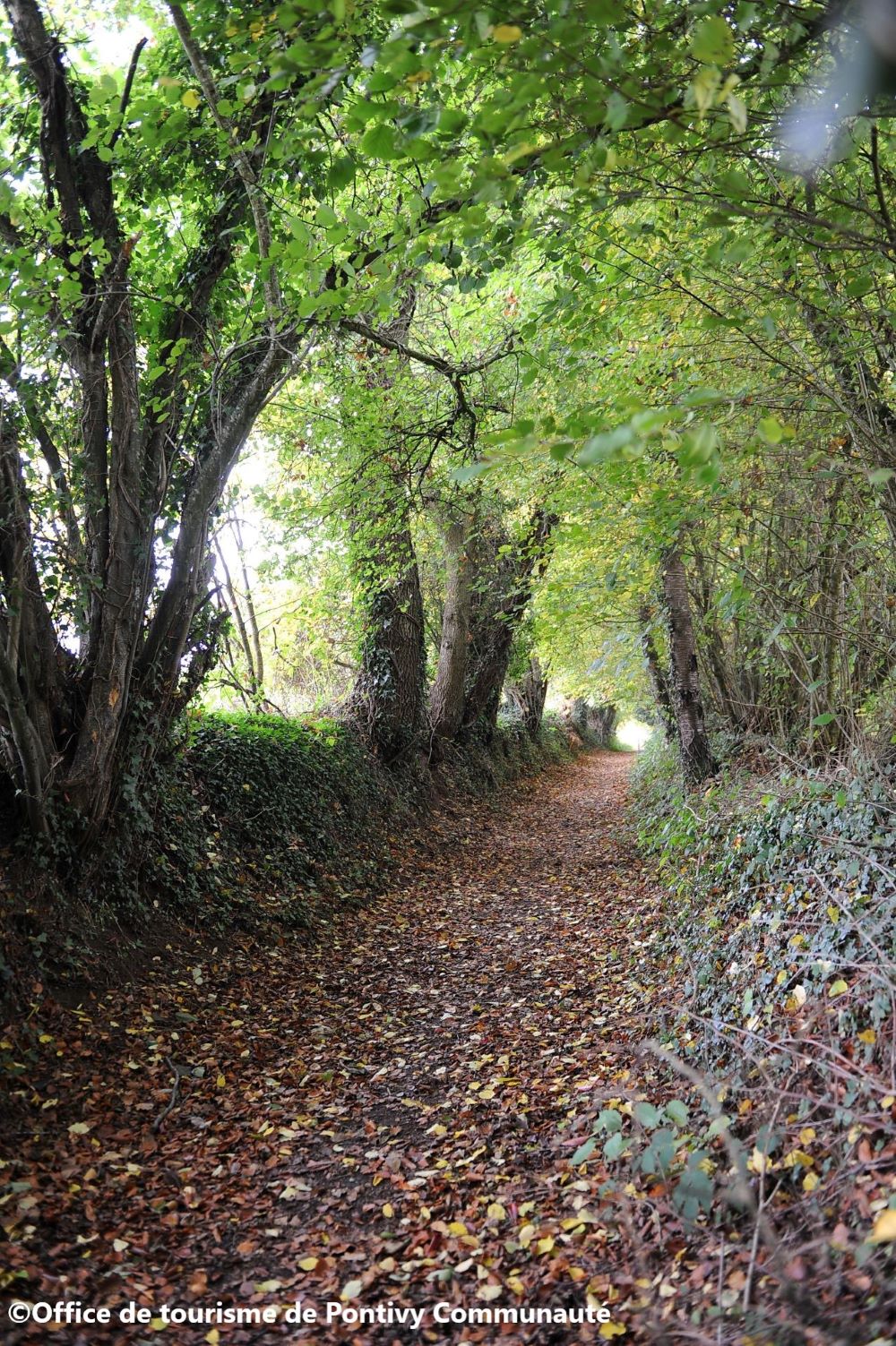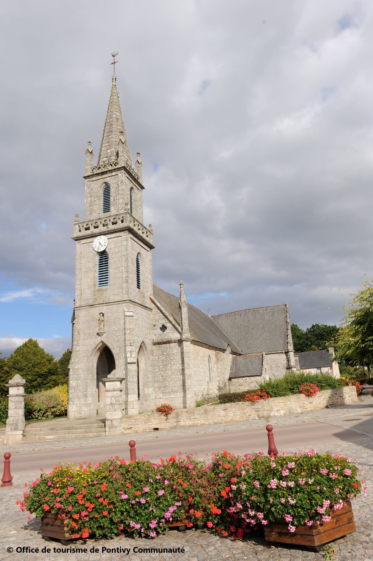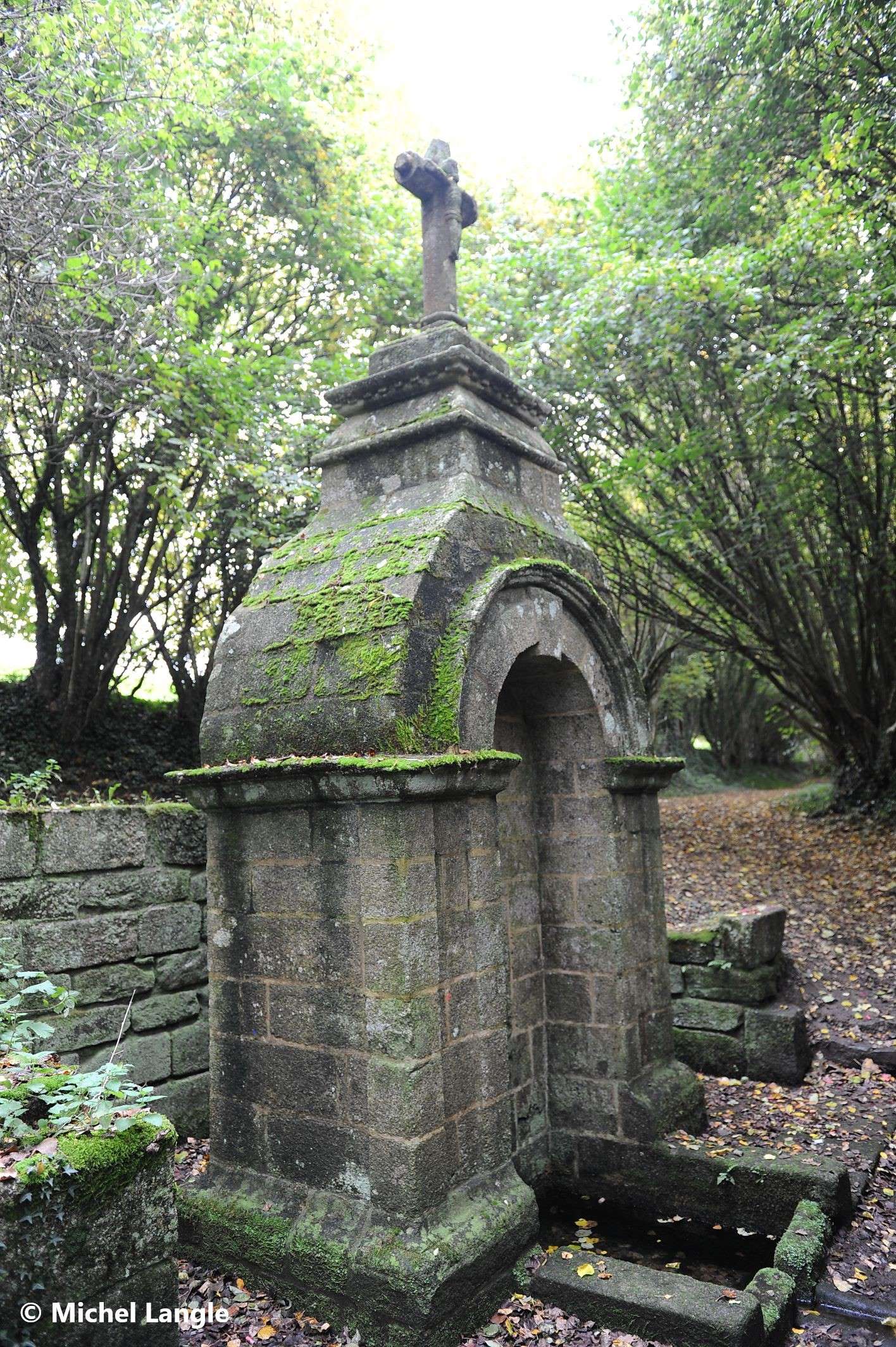
Parcours de découverte du bourg de Saint-Thuriau et de sa campagne environnante. Saint-Thuriau renferme aux alentours de son bourg, des terres cultivées, des prairies, des bois et des landes. Le patrimoine religieux et le petit patrimoine font également la richesse de cette contrée située aux portes de Pontivy et du Blavet canalisé.
La boucle principale fait 5,4km, il est possible de la rallonger de 3km en continuant de longer le ruisseau de la fontaine Névé au niveau du kilomètre 4,3.

- Distance 5.4 km
- Elevation gain 80 m
- Elevation lost 80 m
- Min. elevation 66 m
- Max. elevation. 111 m
- Duration (depending on pace) 1h15 à 1h45
- Marking Jaune

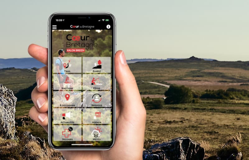
The Cœur de Bretagne app allows you to find all the trail running, hiking, biking and horseriding trails on your smartphone, and much more!
A lot of features are in the app, including:
- geolocalisation on the route
- download data for offline access
- detailed IGN maps
- add your chrono on the route
- find the services nearby...






the digital trails



Infos & contact
Destination Coeur de Bretagne - Kalon Breizh
6 rue Joseph Pennec
22110 Rostrenen
Tel. +33(0)2 96 29 26 53
 Destination Cœur de Bretagne - Parcours - La Fontaine Blanche
Destination Cœur de Bretagne - Parcours - La Fontaine Blanche
Destination Cœur de Bretagne - Parcours - La Fontaine Blanche
Destination Cœur de Bretagne - Parcours - La Fontaine Blanche
Destination Cœur de Bretagne - Parcours - La Fontaine Blanche