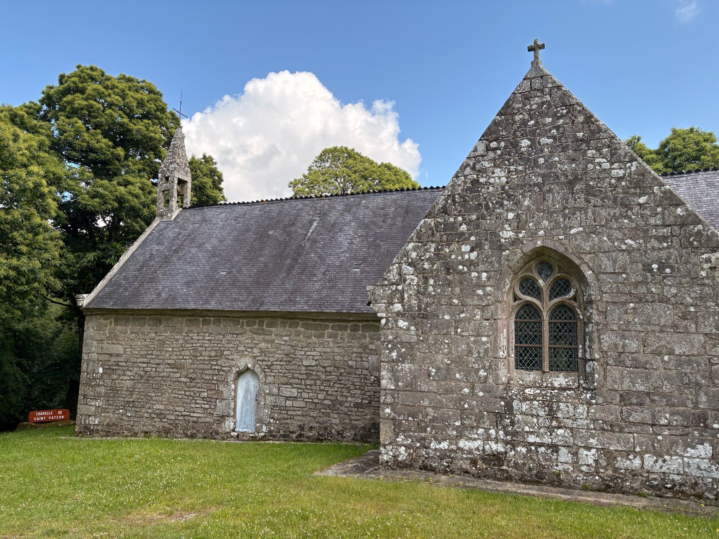
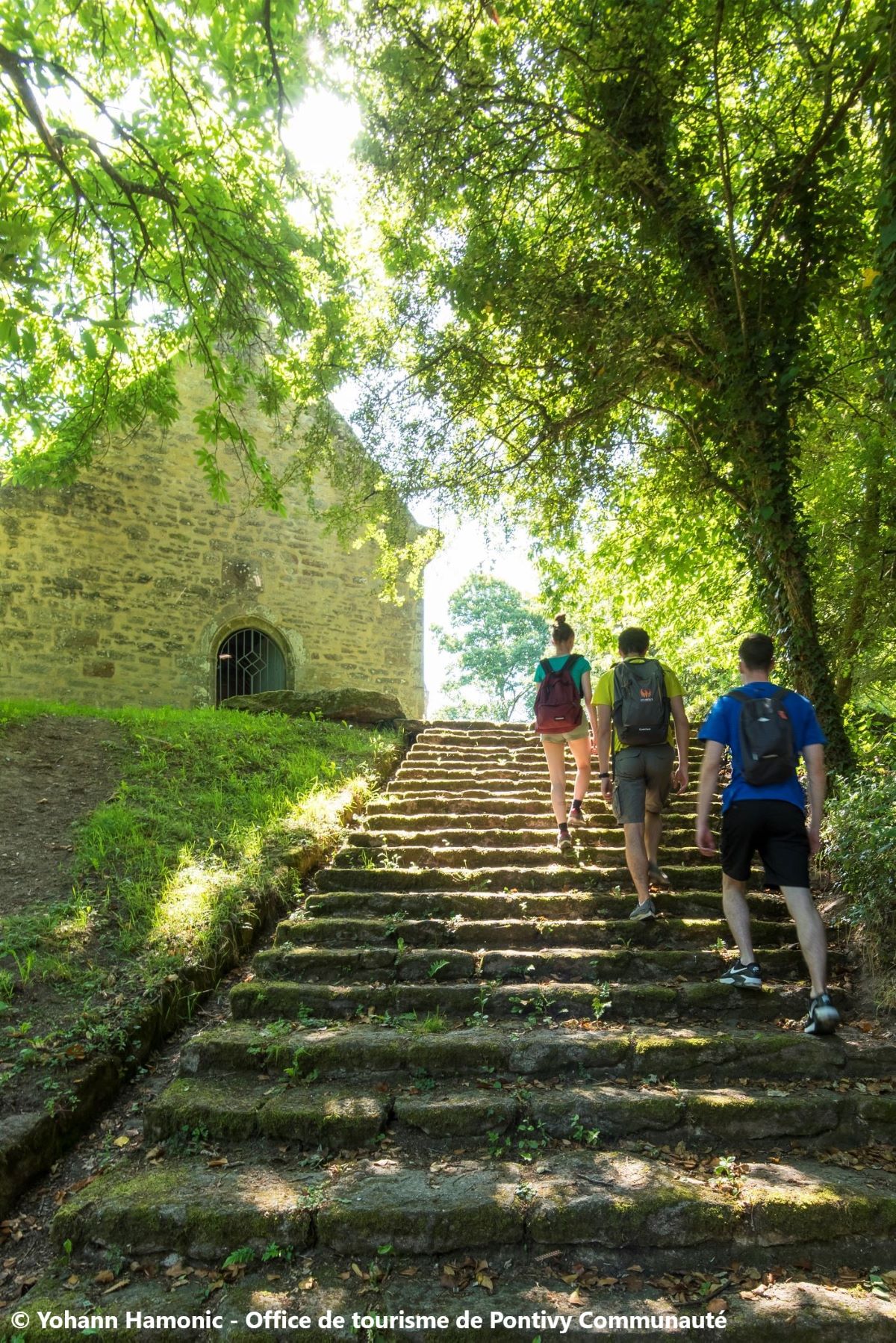
La chapelle Saint-Patern
Add to my favorites

Route opened
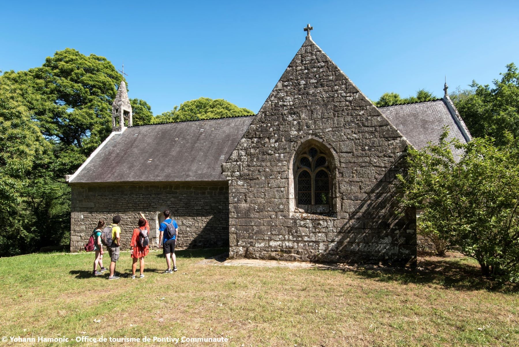
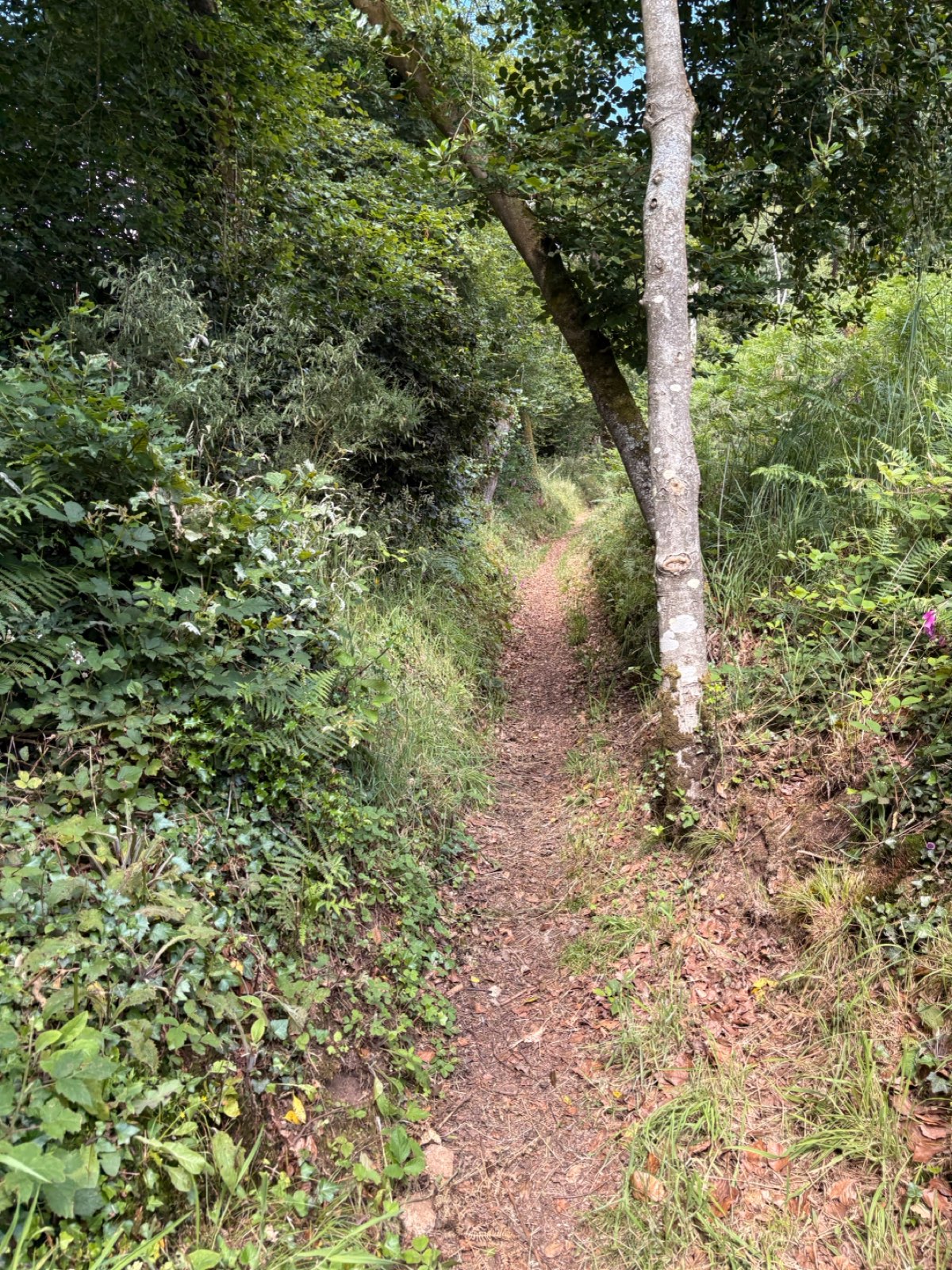
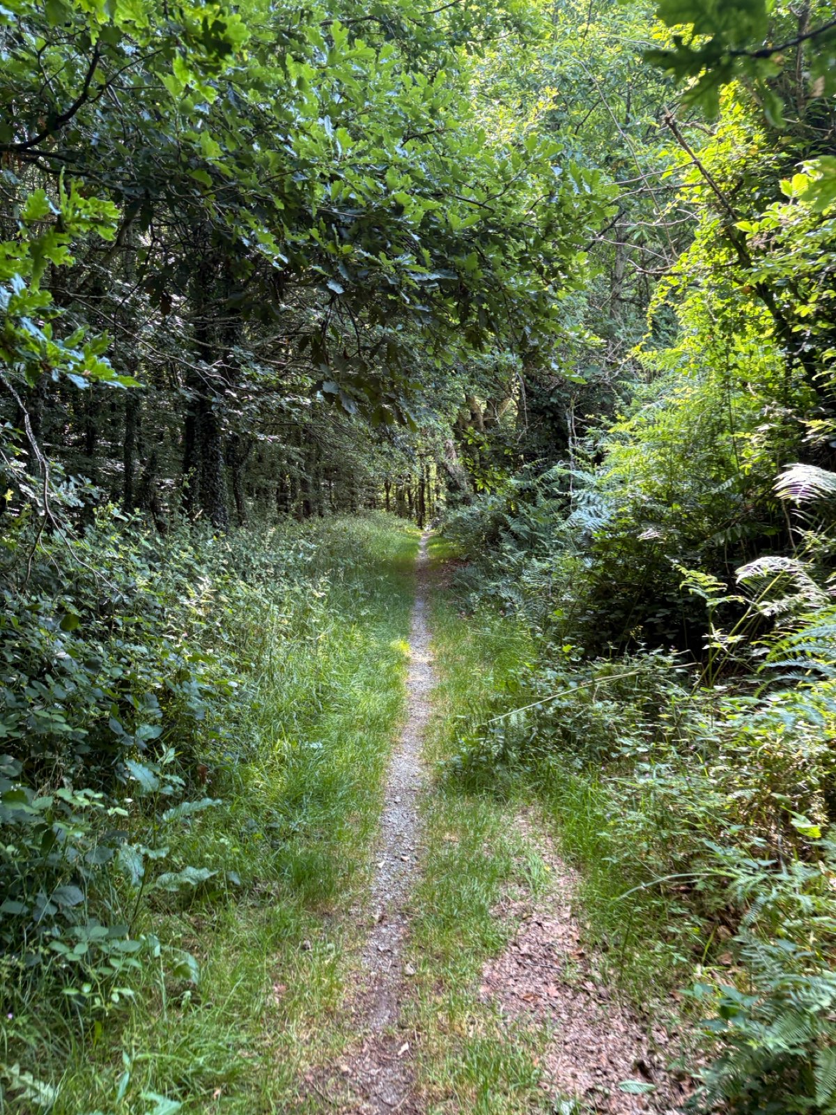
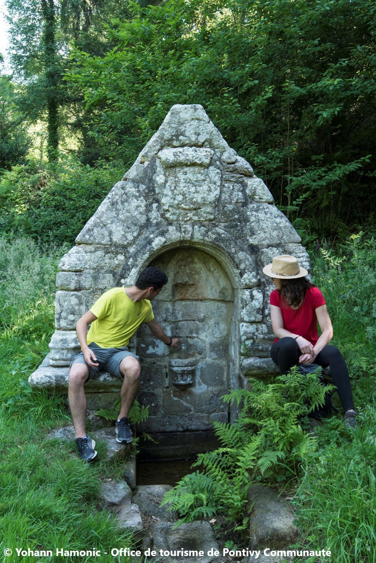
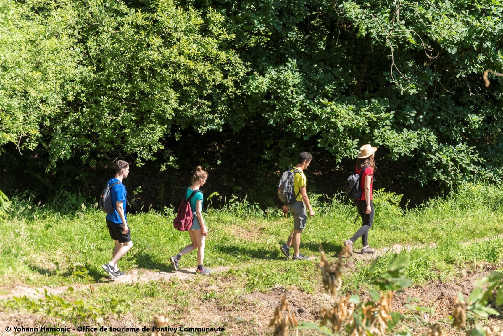
À travers bois et sous bois, terre de chouannerie. Nous voici à Malguénac, une terre de landes et de bois, qui a su traverser les siècles tout en gardant ses paysages authentiques : de nombreux vestiges préhistoriques, du Néolithique à l’âge de Fer, y ont été retrouvés. Ce fut aussi un repaire chouan pendant la révolution.
The characteristics of the route.

Malguénac (56)
- Distance 12.7 km
- Elevation gain 200 m
- Elevation lost 200 m
- Min. elevation 153 m
- Max. elevation. 205 m
- Duration (depending on pace) 3h30
- Marking Jaune 27
Area : Pontivy
Report a problem

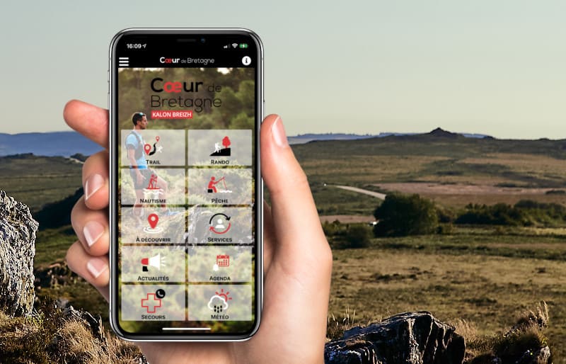
Get every route in your smartphone
The Cœur de Bretagne app allows you to find all the trail running, hiking, biking and horseriding trails on your smartphone, and much more!
A lot of features are in the app, including:
- geolocalisation on the route
- download data for offline access
- detailed IGN maps
- add your chrono on the route
- find the services nearby...

greg56300
finished in 02:15:00
The 2025/06/15
En savoir plus
Ajouter votre chrono et partager vos sensations
Services nearby

Pontivy Napoléonville
Pontivy

Office de tourisme de Pontivy Communauté
Pontivy
Pays des Rohan
Pontivy

Auberge de Jeunesse
Pontivy

Go Sport
Pontivy



Follow us on
the digital trails
the digital trails



Infos & contact
Destination Coeur de Bretagne - Kalon Breizh
6 rue Joseph Pennec
22110 Rostrenen
Tel. +33(0)2 96 29 26 53
 Destination Cœur de Bretagne - Parcours - La chapelle Saint-Patern
Hello, world! This is a toast message.
Destination Cœur de Bretagne - Parcours - La chapelle Saint-Patern
Hello, world! This is a toast message.
Destination Cœur de Bretagne - Parcours - La chapelle Saint-Patern
Hello, world! This is a toast message.


OK
Annuler