Le bourg - Tro ar vour'ch
Add to my favorites

Route opened
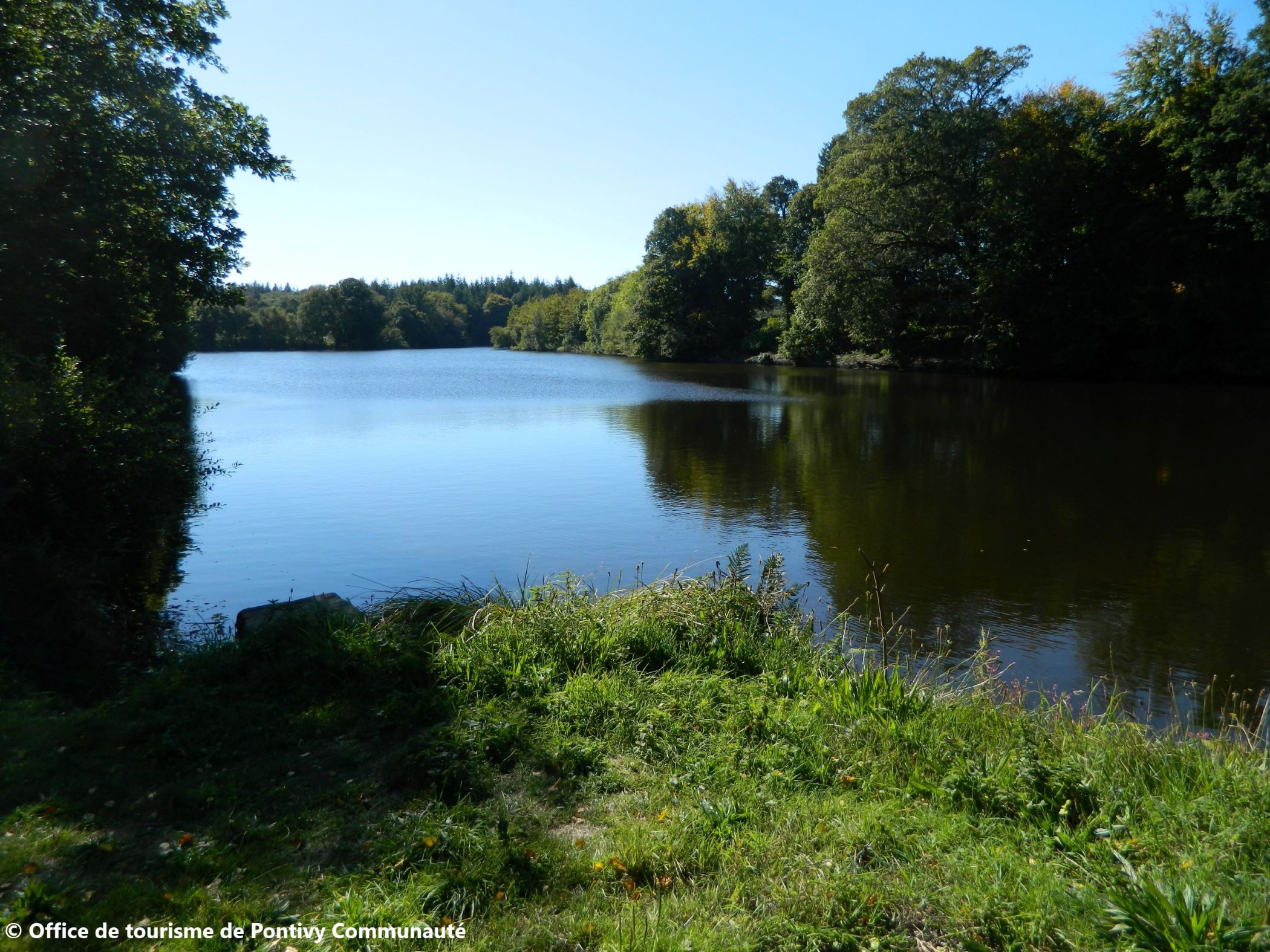
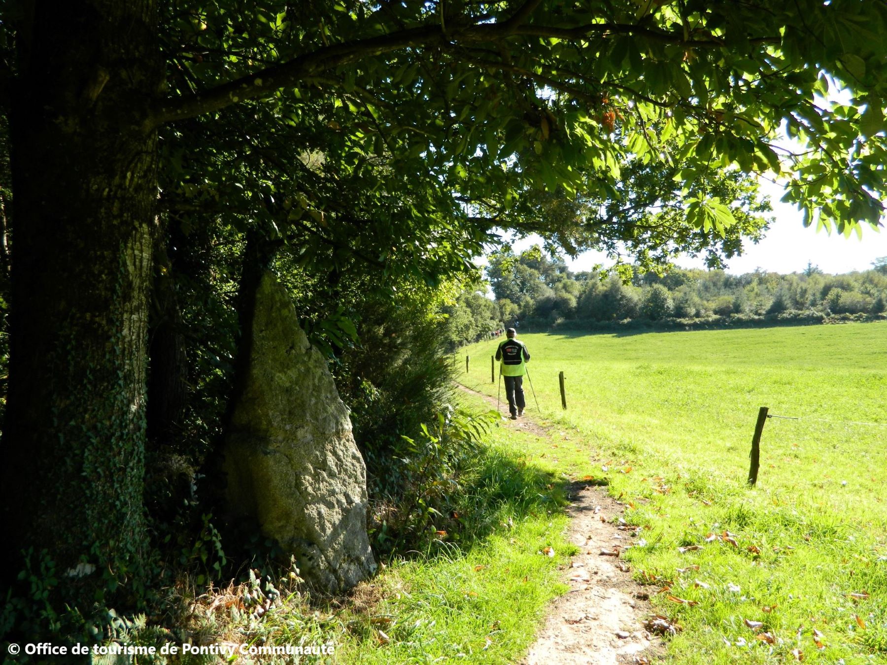
De la seigneurie de Lesturgant à celle de Moustoir Lann. Malguénac provient de « Mal Quenac’h », soit la grande colline, en raison de son haut relief. À divers endroits, vous pourrez observer de beaux panoramas sur la campagne boisée. L’histoire de la commune est marquée par la présence des deux seigneuries importantes : Moustoirlan et Lesturgant, cette dernière, dotée d’une cour de justice, s’imposant finalement.
The characteristics of the route.

Malguénac (56)
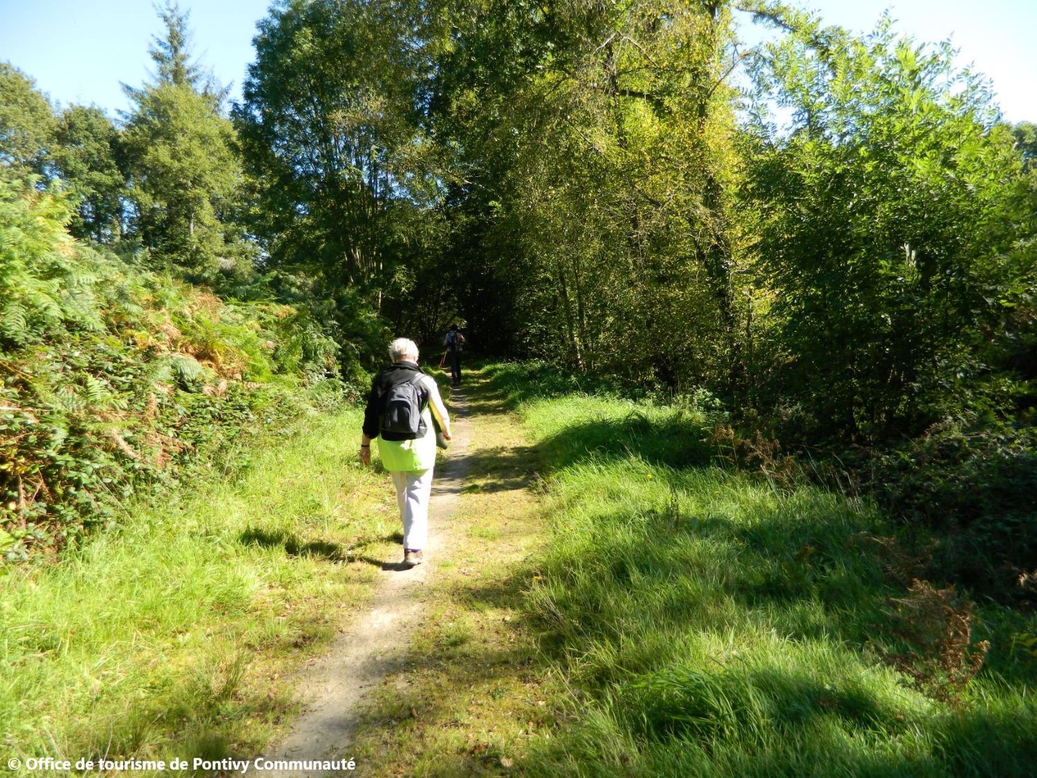
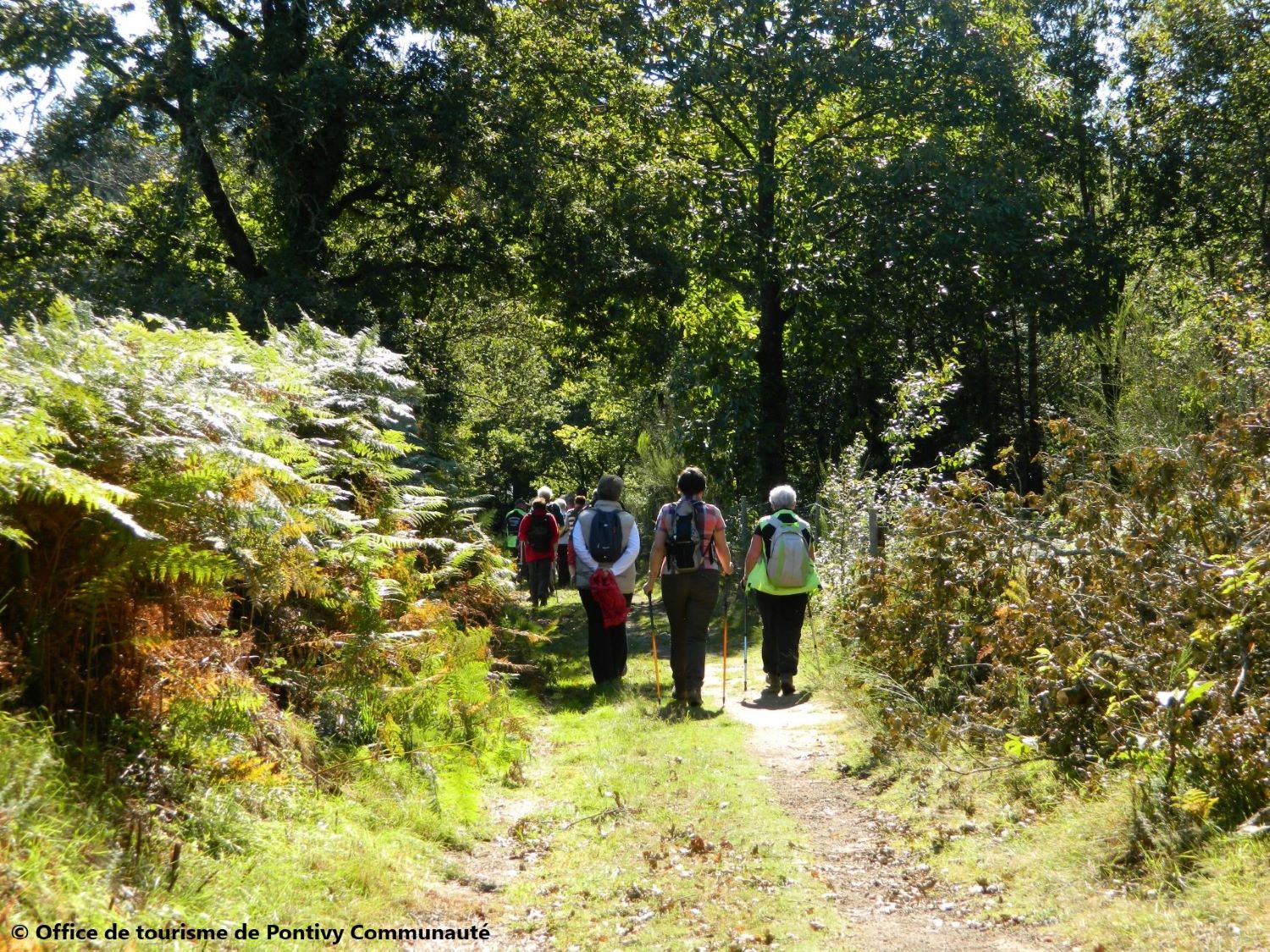
- Distance 13.8 km
- Elevation gain 220 m
- Elevation lost 220 m
- Min. elevation 158 m
- Max. elevation. 215 m
- Duration (depending on pace) 4h
- Marking Jaune 28
Area : Pontivy
Report a problem

Get every route in your smartphone
The Cœur de Bretagne app allows you to find all the trail running, hiking, biking and horseriding trails on your smartphone, and much more!
A lot of features are in the app, including:
- geolocalisation on the route
- download data for offline access
- detailed IGN maps
- add your chrono on the route
- find the services nearby...

Add your time and share your feelings
Services nearby

Pontivy Napoléonville
Pontivy

Office de tourisme de Pontivy Communauté
Pontivy
Pays des Rohan
Pontivy

Auberge de Jeunesse
Pontivy

Go Sport
Pontivy


Follow us on
the digital trails
the digital trails


![]()
Infos & contact
Destination Coeur de Bretagne - Kalon Breizh
6 rue Joseph Pennec
22110 Rostrenen
Tel. +33(0)2 96 29 26 53
 Destination Cœur de Bretagne - Parcours - Le bourg - Tro ar vour'ch
Hello, world! This is a toast message.
Destination Cœur de Bretagne - Parcours - Le bourg - Tro ar vour'ch
Hello, world! This is a toast message.
Destination Cœur de Bretagne - Parcours - Le bourg - Tro ar vour'ch
Hello, world! This is a toast message.


OK
Annuler