
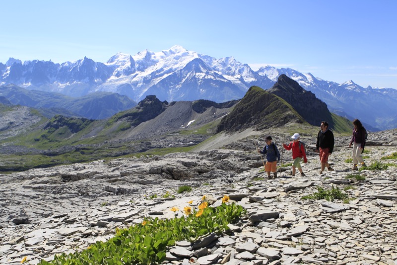
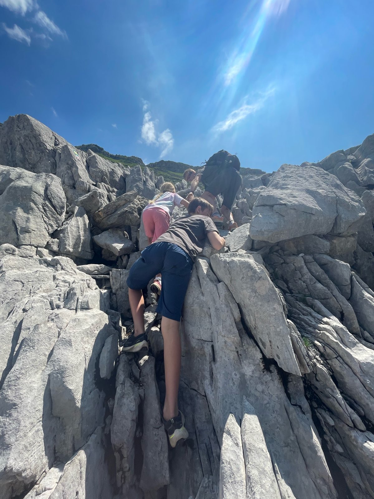
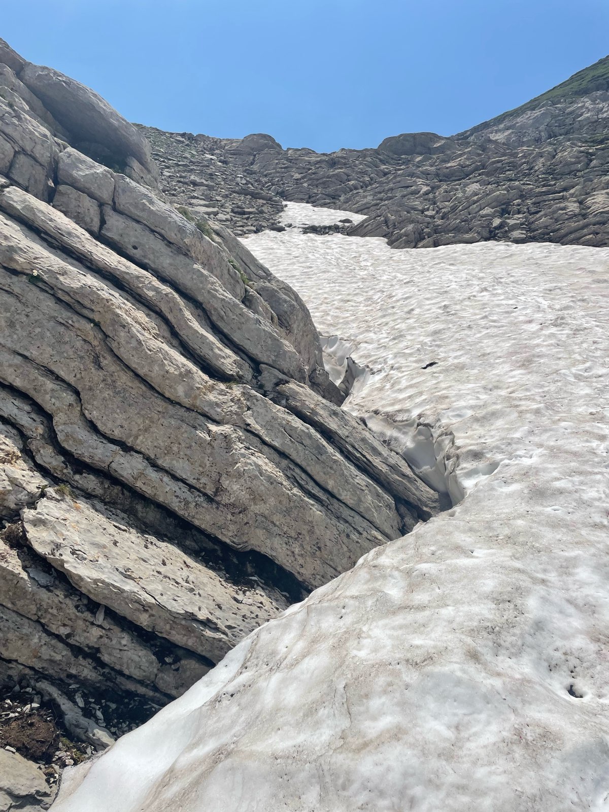
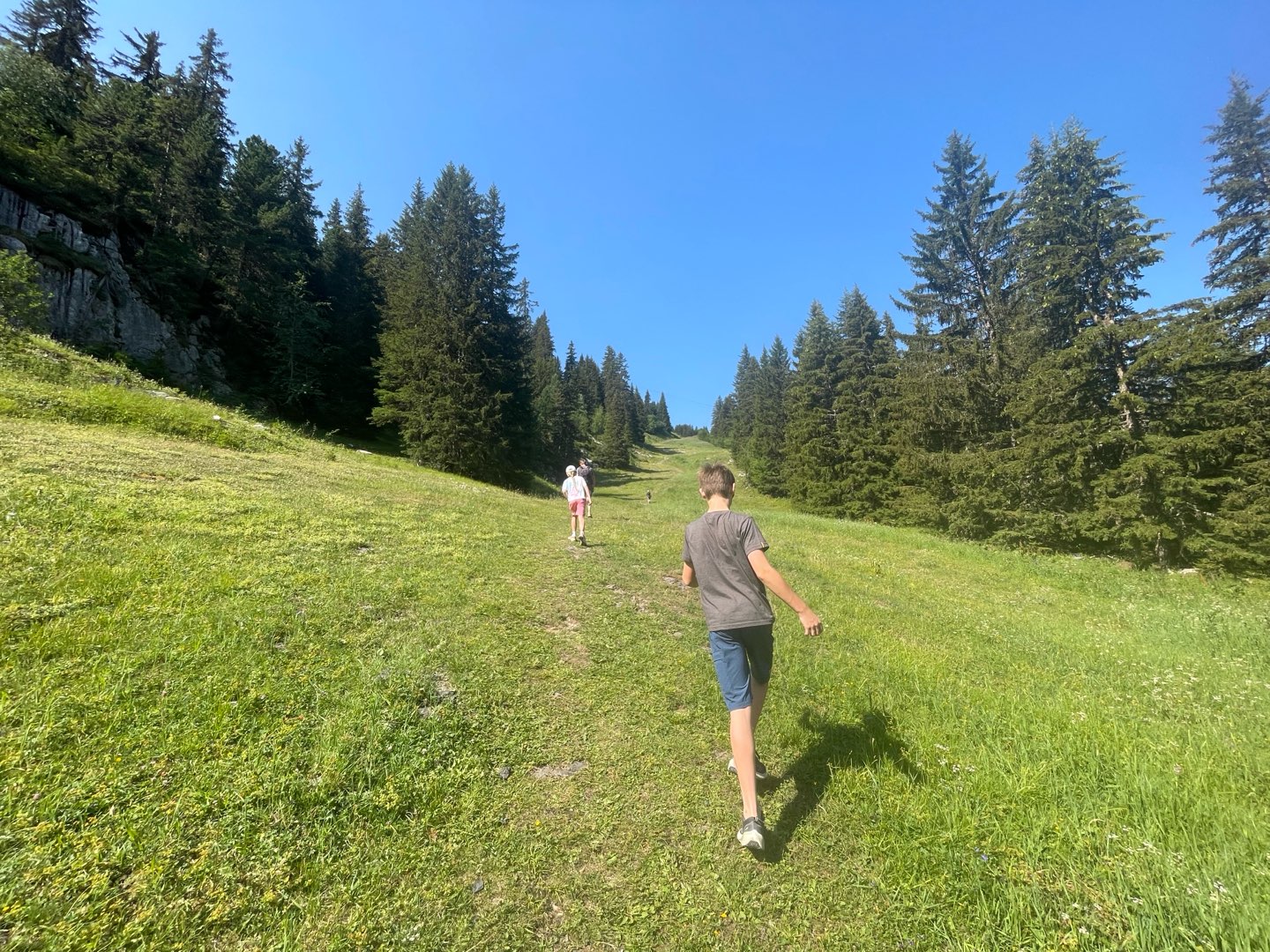
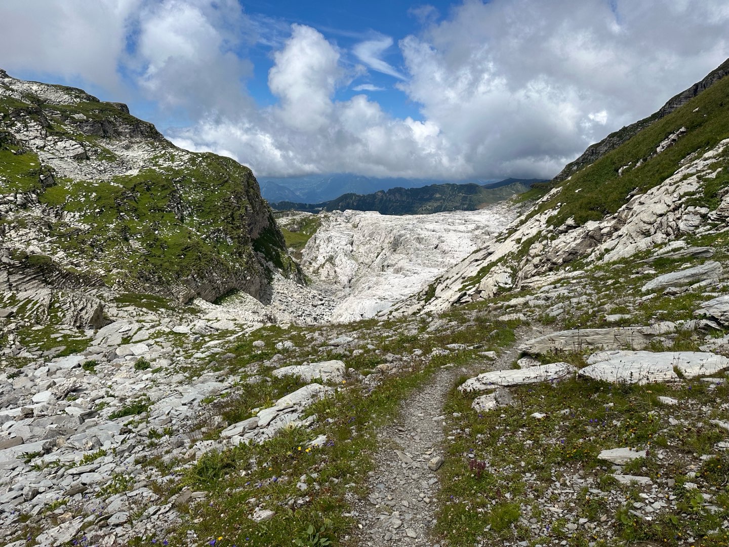
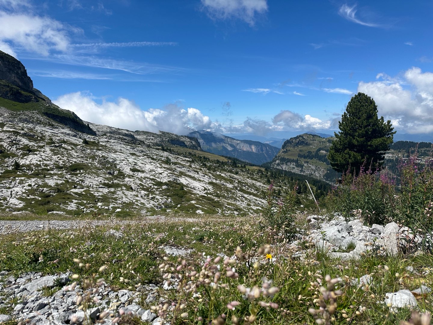
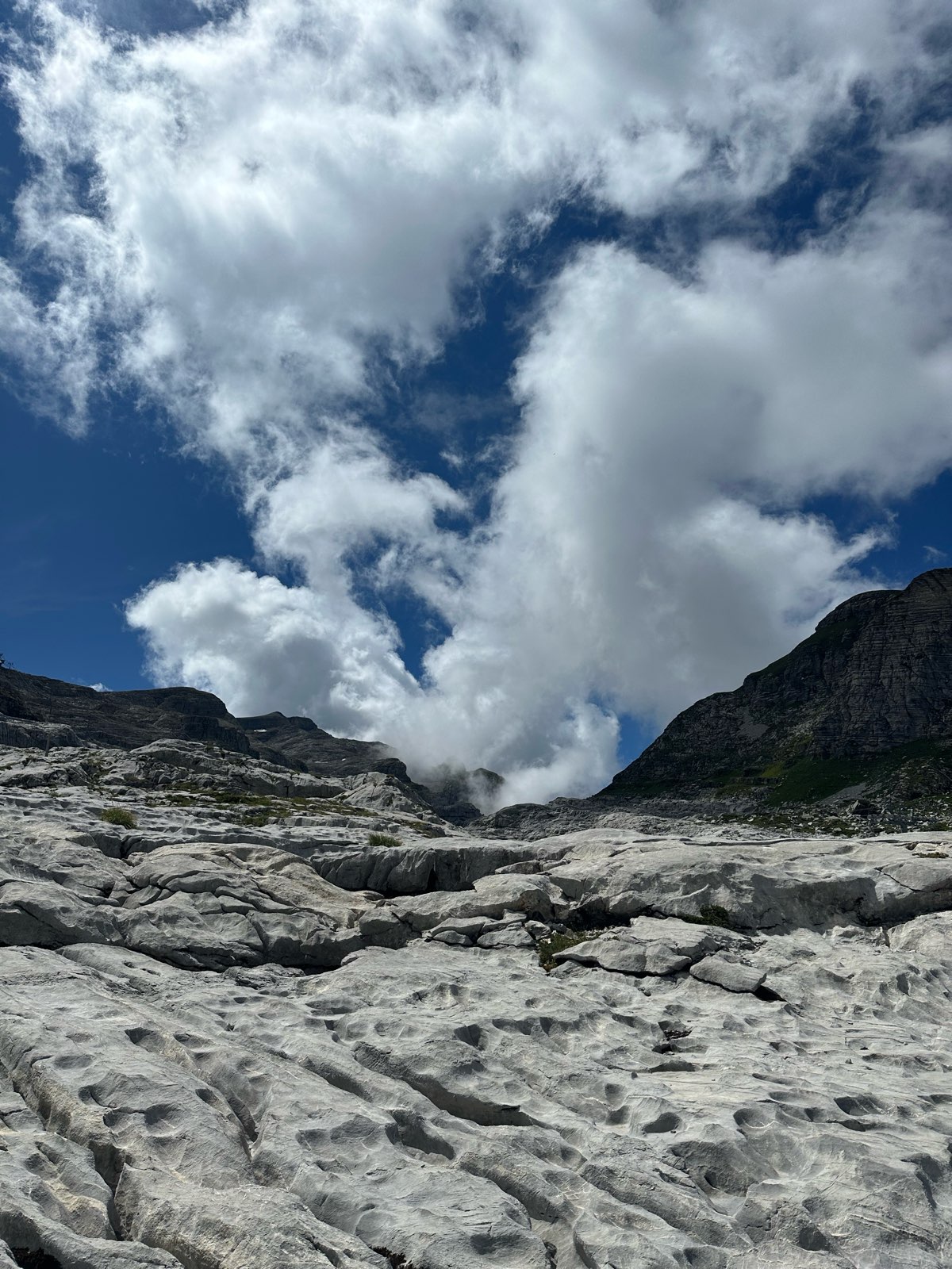
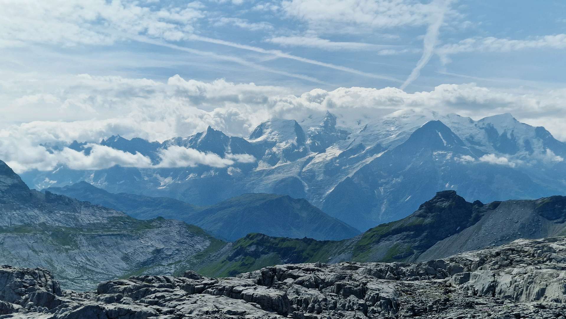
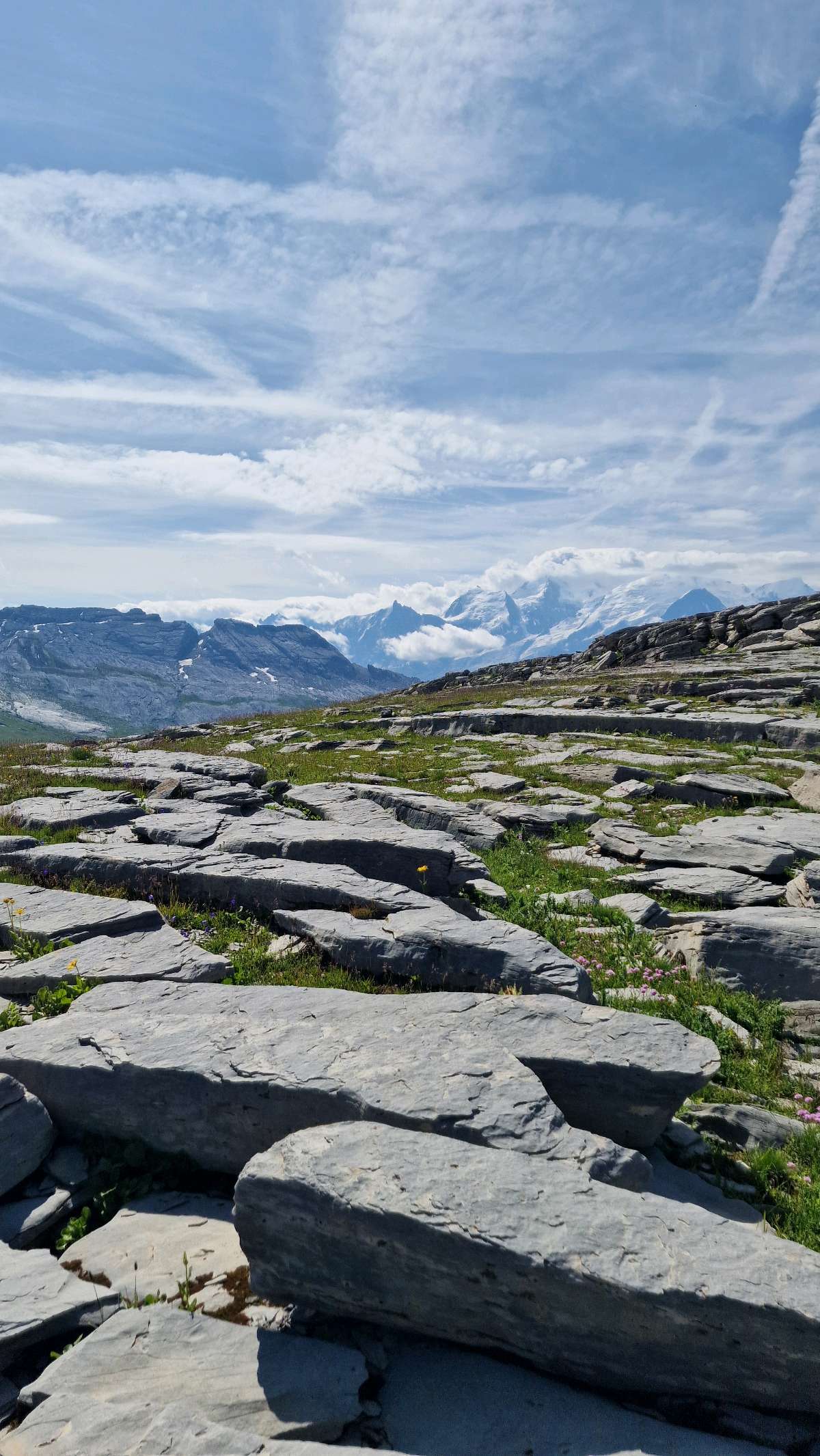
From the Grandes Platières cable car departure station (Flaine forum), take the GR96 to the Col de Colonney, then follow signs for "Les Grandes Platières". This route brings you up to an altitude of 2,477 metres, the highest point on Flaine’s ski area. From the Grandes Platières, follow the trail to the Col de Platé, then the Col Pelouse. The descent back to Flaine takes you through the alpine meadows of the Combe de Balacha.

- Distance 11.59 km
- Elevation gain 890 m
- Elevation lost 890 m
- Min. elevation 1599 m
- Max. elevation. 2478 m
- Duration (depending on pace) 5h
- Marking yes
Get all the routes on your smartphone with Flaine Carroz 2ccam Outdoor app. You'll find a host of functions :
- Take advantage of detailed IGN maps
- Download data for consultation even when you're not connected to the network
- Geolocate yourself at any time on the route and altimeter profile
- Activate the off-track alarm to be alerted if you stray from the itinerary
- Find nearby services
- Share your experience (add a report, share your lap time)...

Della
aurelieessers
Ju_3333
Della


the digital trails


![]()
Infos & contacts
Flaine Tourist Office
Tél. +33 (0)4 50 90 80 01
Les Carroz sports club
sports@aracheslafrasse.fr - Tél. +33 (0)4 50 90 24 80
Cluses Arve & montagnes Tourist Office
Tél. +33 (0)4 50 96 69 69
 Espace Trail Flaine - Les Carroz - Cluses Arve et Montagnes - Parcours - Grandes Platières circuit (n°1 Flaine)
Espace Trail Flaine - Les Carroz - Cluses Arve et Montagnes - Parcours - Grandes Platières circuit (n°1 Flaine)
Espace Trail Flaine - Les Carroz - Cluses Arve et Montagnes - Parcours - Grandes Platières circuit (n°1 Flaine)
Espace Trail Flaine - Les Carroz - Cluses Arve et Montagnes - Parcours - Grandes Platières circuit (n°1 Flaine)
Espace Trail Flaine - Les Carroz - Cluses Arve et Montagnes - Parcours - Grandes Platières circuit (n°1 Flaine)

