
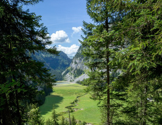
From the Grandes Platières cable car station, descend to La Plaine du Lac de Flaine (viewpoint n°1). Follow the road heading towards Flaine snow front and take the GR96 towards the lake (after the PO car park). Cross the little Hameau des Chalets de la Plaine du Lac around which several herds of cows graze. Leave the path to follow the trail that remains at the foot of the cliffs to get to the Col du Cou. At the crossroads of the Col du Cou, head towards ”Les Gérats-Plaine Joux”. At the next crossroads, follow signs to Les Gérats. The path zig-zags over Le Flan de l’Arbaron on its way to Les Gérats chalets, now a ruin (viewpoint n°2). Cross the Gérats Alpine pasture to reach Le Hameau de Flaine, Flaine Forêt (Chalet Le Bissac), and finally, the Grandes Platières cable car station.

- Distance 8.8 km
- Elevation gain 440 m
- Elevation lost 440 m
- Min. elevation 1416 m
- Max. elevation. 1833 m
- Duration (depending on pace) 3h
- Marking yes
Della
Della
Della
Della
Della
Della


the digital trails


![]()
Infos & contacts
Flaine Tourist Office
Tél. +33 (0)4 50 90 80 01
Les Carroz sports club
sports@aracheslafrasse.fr - Tél. +33 (0)4 50 90 24 80
Cluses Arve & montagnes Tourist Office
Tél. +33 (0)4 50 96 69 69

