Platé refuge circuit (n°14 Flaine)
Add to my favorites

Caution! Zone of vigilance near the route
Parcours géologique : Névés persistants - du 07/07/2026 au 30/08/2026 In progress
CURALLA PLATE - du 01/07/2026 au 30/09/2026 In progress
Secteurs d'altitude : Névés persistants - du 20/05/2026 au 31/07/2026 In progress
The névés (snow patches) are still present. You must bypass them to ensure your safety.
Warning
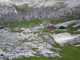
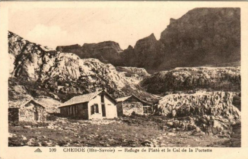
From the top of the Grandes Platières cable car, follow signs for “Refuge de Platé”. When you get to “la Matolle”, keep going until you reach the Désert de Platé, a listed geological site. At the foot of the Col de la Portette, the Refuge de Platé can be seen down below on your right. The return is via the same route.
The characteristics of the route.

Magland (74)
- Distance 5.95 km
- Elevation gain 460 m
- Elevation lost 460 m
- Min. elevation 2035 m
- Max. elevation. 2478 m
- Duration (depending on pace) 2h30
THIS ROUTE IN YOUR MOBILE PHONE
Download Flaine Carroz 2ccam Outdoor app
Get all the routes on your smartphone with Flaine Carroz 2ccam Outdoor app. You'll find a host of functions :
- Take advantage of detailed IGN maps
- Download data for consultation even when you're not connected to the network
- Geolocate yourself at any time on the route and altimeter profile
- Activate the off-track alarm to be alerted if you stray from the itinerary
- Find nearby services
- Share your experience (add a report, share your lap time)...

BenardFamily
The 2023/07/27
En savoir plus
Ajouter votre chrono et partager vos sensations
2023/07/27 BenardFamily
Magnifique randonnée ????une de nos préférées. Faite avec une enfant de 9 ans mais qui marche aussi bien qu’un adulte. Paysage à couper le souffle, nous avons déjeuné au refuge cadre magnifique. Prévoir un peu plus de temps nous avons dû mettre 3h45 pour l’aller retour. Le retour n’est qu’une remontée. Mais ça vaut le détour !!!


Follow us on
the digital trails
the digital trails


![]()
Infos & contacts
Flaine Tourist Office
Tél. +33 (0)4 50 90 80 01
Les Carroz sports club
sports@aracheslafrasse.fr - Tél. +33 (0)4 50 90 24 80
Cluses Arve & montagnes Tourist Office
Tél. +33 (0)4 50 96 69 69
 Espace Trail Flaine - Les Carroz - Cluses Arve et Montagnes - Parcours - Platé refuge circuit (n°14 Flaine)
Hello, world! This is a toast message.
Espace Trail Flaine - Les Carroz - Cluses Arve et Montagnes - Parcours - Platé refuge circuit (n°14 Flaine)
Hello, world! This is a toast message.
Espace Trail Flaine - Les Carroz - Cluses Arve et Montagnes - Parcours - Platé refuge circuit (n°14 Flaine)
Hello, world! This is a toast message.


OK
Annuler