Pedestrian walk and snowshoeing - L’Arbaron
Add to my favorites

Caution! Zone of vigilance near the route
GOLF DE FLAINE - du 01/09/2026 au 30/10/2026 In progress
Route closed
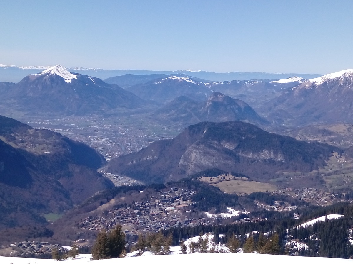
The characteristics of the route.
Flaine / Col de Pierre Carrée (74)
- Distance 3.1 km
- Elevation gain 110 m
- Elevation lost 110 m
- Min. elevation 1843 m
- Max. elevation. 1920 m
- Duration (depending on pace) 1h
- Marking Orange signs
THIS ROUTE IN YOUR MOBILE PHONE
Download Flaine Carroz 2ccam Outdoor app
Get all the routes on your smartphone with Flaine Carroz 2ccam Outdoor app. You'll find a host of functions :
- Take advantage of detailed IGN maps
- Download data for consultation even when you're not connected to the network
- Geolocate yourself at any time on the route and altimeter profile
- Activate the off-track alarm to be alerted if you stray from the itinerary
- Find nearby services
- Share your experience (add a report, share your lap time)...

Add your time and share your feelings



Follow us on
the digital trails
the digital trails




Infos & contacts
Flaine Tourist Office
Tél. +33 (0)4 50 90 80 01
Les Carroz sports club
sports@aracheslafrasse.fr - Tél. +33 (0)4 50 90 24 80
Cluses Arve & montagnes Tourist Office
Tél. +33 (0)4 50 96 69 69
 Espace Trail Flaine - Les Carroz - Cluses Arve et Montagnes - Parcours - Pedestrian walk and snowshoeing - L’Arbaron
Hello, world! This is a toast message.
Espace Trail Flaine - Les Carroz - Cluses Arve et Montagnes - Parcours - Pedestrian walk and snowshoeing - L’Arbaron
Hello, world! This is a toast message.
Espace Trail Flaine - Les Carroz - Cluses Arve et Montagnes - Parcours - Pedestrian walk and snowshoeing - L’Arbaron
Hello, world! This is a toast message.


OK
Annuler