Vuardes and Vormy mountain pastures - Hike
Add to my favorites

Route closed
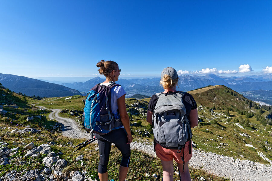
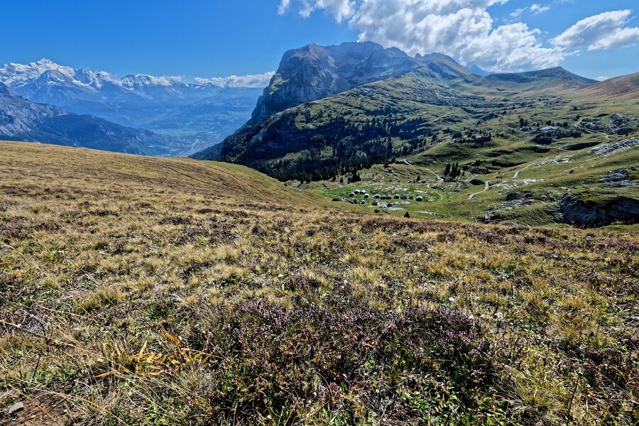
Secure route that allows to take the height to overlook the hamlet of Romme.
The characteristics of the route.

Nancy-sur-Cluses (74)
- Distance 17.9 km
- Elevation gain 920 m
- Elevation lost 920 m
- Min. elevation 1287 m
- Max. elevation. 2013 m
- Duration (depending on pace) 5h15
- Marking Yes
From Romme to Lays: 60 minutes
Follow the D119 for 150 meters towards Le Reposoir, passing in front of the pool. At the Romme trail sign, next to a cross, take the small road on the left which goes up towards Les Creux de Sable at 0:15.
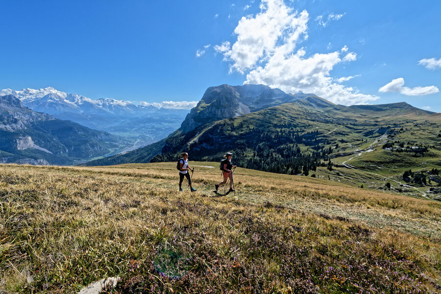
At Creux de Sable, take the 4x4 track on the left towards Chalet des Vuardes via Les Lays. This wide track crosses the ski slopes before climbing regularly in the forest. Follow it and enjoy the view of the hamlet and the valley.
From Lays to Chalet des Vuardes: 15 minutes
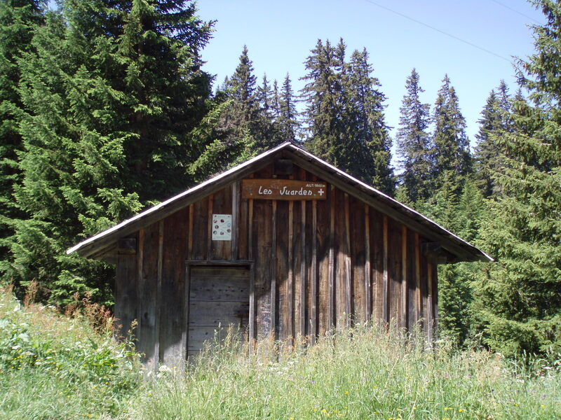
After a few switchbacks, you will pass the Lays, 15 minutes before the Chalet des Vuardes, staying on the same track.
From Chalet des Vuardes to Romme: 35 minutes
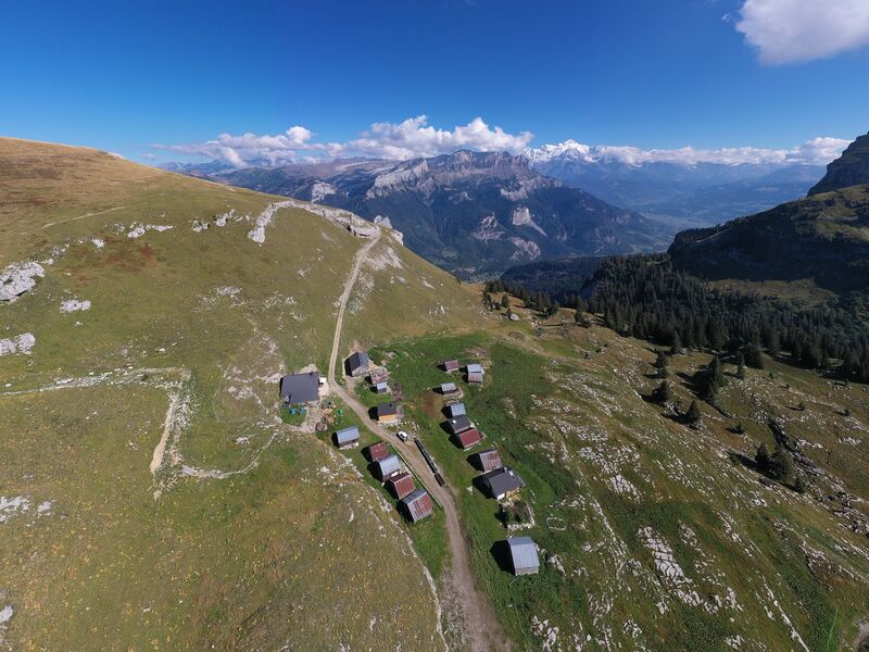
At Chalet des Vuardes, take the path on your right, under the chalet, in the direction of Romme direct by the Grand Tour ski slope (raid trail). The descent is gentle to the top of the ski lift. When you get to the ski lift, continue straight on the same path. After a wide bend on the left, the path goes straight down to find the track from the start of the loop.
To do more from the Chalet des Vuardes:
- Chalets de Vormy: 1h15 to go
- Col de Gueule à Vent: 1h35 one way
- Chalets de Chérente: 1h50 to go
- Pointe d´Areu (route not marked): 3h25 one wayMarking : Trail marked with directional posts (PDIPR)Equipments : Picnic area, Public WC, Admission fee : Free access. Topo rando on sale at the Tourist Office.Opening : From 01/04 to 15/11. Subject to favorable weather.
Follow the D119 for 150 meters towards Le Reposoir, passing in front of the pool. At the Romme trail sign, next to a cross, take the small road on the left which goes up towards Les Creux de Sable at 0:15.
At Creux de Sable, take the 4x4 track on the left towards Chalet des Vuardes via Les Lays. This wide track crosses the ski slopes before climbing regularly in the forest. Follow it and enjoy the view of the hamlet and the valley.
From Lays to Chalet des Vuardes: 15 minutes
After a few switchbacks, you will pass the Lays, 15 minutes before the Chalet des Vuardes, staying on the same track.
From Chalet des Vuardes to Romme: 35 minutes
At Chalet des Vuardes, take the path on your right, under the chalet, in the direction of Romme direct by the Grand Tour ski slope (raid trail). The descent is gentle to the top of the ski lift. When you get to the ski lift, continue straight on the same path. After a wide bend on the left, the path goes straight down to find the track from the start of the loop.
To do more from the Chalet des Vuardes:
- Chalets de Vormy: 1h15 to go
- Col de Gueule à Vent: 1h35 one way
- Chalets de Chérente: 1h50 to go
- Pointe d´Areu (route not marked): 3h25 one wayMarking : Trail marked with directional posts (PDIPR)Equipments : Picnic area, Public WC, Admission fee : Free access. Topo rando on sale at the Tourist Office.Opening : From 01/04 to 15/11. Subject to favorable weather.
Area : Cluses Arve & Montagnes
Report a problem 1 comment
Website PDF map
Add your time and share your feelings


Information updated on 2023-02-25 by Cluses Arve & montagnes Tourisme


Follow us on
the digital trails
the digital trails


![]()
Infos & contacts
Flaine Tourist Office
Tél. +33 (0)4 50 90 80 01
Les Carroz sports club
sports@aracheslafrasse.fr - Tél. +33 (0)4 50 90 24 80
Cluses Arve & montagnes Tourist Office
Tél. +33 (0)4 50 96 69 69


OK
Annuler