La Forclaz and la Cha alpine pastures - Hike
Add to my favorites

Caution! Zone of vigilance near the route
Chalet Neuf - glissement terrain - du 01/11/2023 au 01/12/2024 In progress
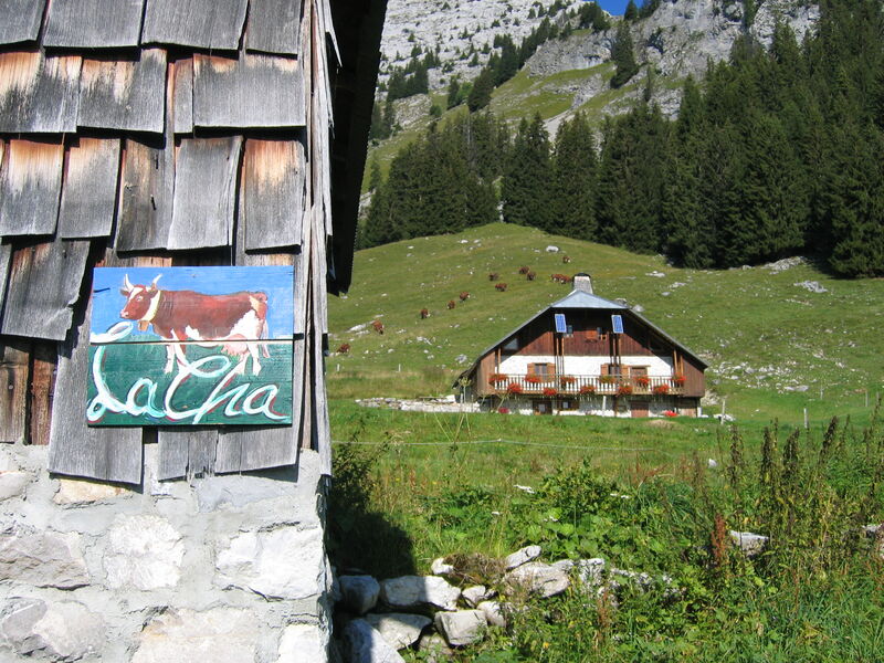
Alpage de la Cha - du 01/06/2024 au 15/09/2024 In progress
Route opened
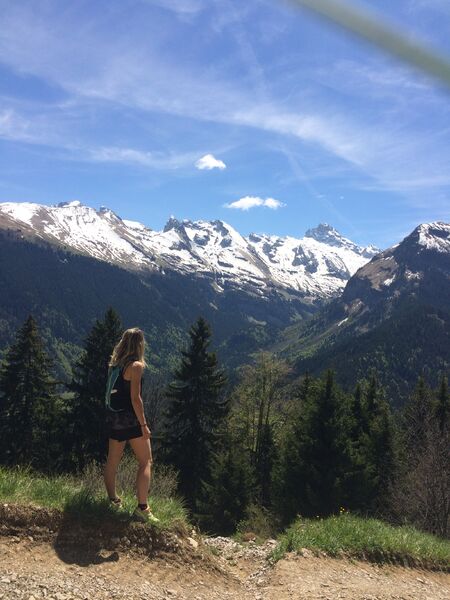
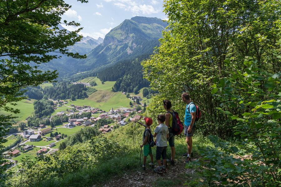
This easy hike can be considered from 8-10 years old. You will enjoy a beautiful view over the rooftops of the monastery and the surrounding peaks.
The characteristics of the route.

Le Reposoir (74)
- Distance 9.5 km
- Elevation gain 660 m
- Elevation lost 660 m
- Min. elevation 979 m
- Max. elevation. 1624 m
- Duration (depending on pace) 3h45
- Marking Yes
This hike is located within the Natural Zone of Ecological, Faunistic and Floristic Interest (ZNIEFF). Floristically, 500 species have been inventoried, many of which are rare and dependent on the limestone subsoil of the massif.
Respect the flora and fauna already weakened by winter. Keep your dogs on a leash. Bring back your rubbish.Marking : The path is not marked out by the name of this hike. It is important to follow the hiking signs mentionned in the description of the hike.Equipments : Public WC, Admission fee : Free access. Guidebook on sale at the Tourist Office.Opening : Closed temporarily.
Area : Cluses Arve & Montagnes
Report a problem 2 comment
Website PDF map The last times
Balou19
finished in 02:09:45
The 2022/07/10
En savoir plus
mjjm
The 2022/08/01
En savoir plus
Couchou93
The 2023/08/10
En savoir plus
Voir tous les chronos
2022/07/10 02:09:45
Balou19
Balou19
A l’envers
2022/08/01 mjjm
Paysages sublimes et forêt enchantée!
2023/08/10 Couchou93
Très chouette randonnée ????avec une belle montée dans la forêt et ensuite le sentier traverse des alpages pour redescendre par la route forestière et la forêt !
2022/07/10 02:09:45
Balou19
Balou19
A l’envers
2022/08/01 mjjm
Paysages sublimes et forêt enchantée!
2023/08/10 Couchou93
Très chouette randonnée ????avec une belle montée dans la forêt et ensuite le sentier traverse des alpages pour redescendre par la route forestière et la forêt !


Information updated on 2023-02-11 by Cluses Arve & montagnes Tourisme


Follow us on
the digital trails
the digital trails


![]()
Infos & contacts
Flaine Tourist Office
Tél. +33 (0)4 50 90 80 01
Les Carroz sports club
sports@aracheslafrasse.fr - Tél. +33 (0)4 50 90 24 80
Cluses Arve & montagnes Tourist Office
Tél. +33 (0)4 50 96 69 69


OK
Annuler