Fimaloz (Agy) - Winter hike
Add to my favorites

Route closed
Discover the Plateau d'Agy, Saint-Sigismond's Nordic ski area. This hike offers exceptional panoramic views over the Arve valley and surrounding peaks. An unmissable snowshoe itinerary for landscape lovers.
The characteristics of the route.

Saint-Sigismond (74)
- Distance 6.1 km
- Elevation gain 160 m
- Elevation lost 160 m
- Min. elevation 1275 m
- Max. elevation. 1421 m
- Duration (depending on pace) 2h
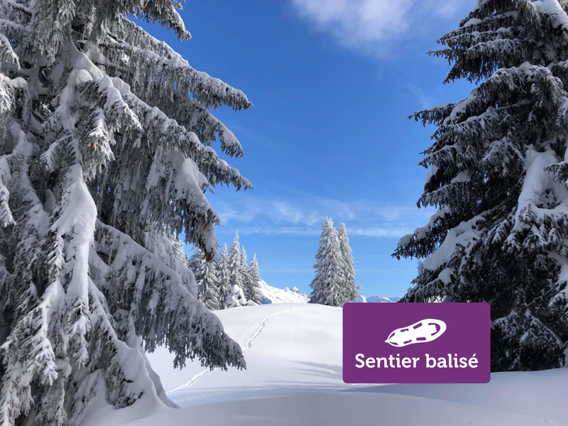
- Marking Yes
Take the departure of the footpaths on the right. You start with a small climb that goes along the ski slopes. At the "La Bordaz" intersection, turn right towards "Boucle de Fimaloz - par les Chalets". Then continue on the path that goes under the woods. Continue straight, a beautiful view is offered to you at the level of the chalets of Fimaloz. Continue on your way then take the direction of the ski center via the ridge, a wide path that runs along the high-voltage line. Open your eyes, a panoramic view awaits you over the Arve valley and the Bargy massif.Opening subject to snow conditions.Marking : "Boucle B", purple signEquipments : Free car park, Covered picnic area, Car park, Public WC, Picnic area, Admission fee : Free access. Snowshoeing guidebook on sale at the Tourist Office.Opening : Closed temporarily.
Area : Cluses Arve & Montagnes
Report a problem
Website Nordic slope map Webcam : Webcam PDF map
Add your time and share your feelings


Information updated on 2026-04-21 by Cluses Arve & montagnes Tourisme


Follow us on
the digital trails
the digital trails


![]()
Infos & contacts
Flaine Tourist Office
Tél. +33 (0)4 50 90 80 01
Les Carroz sports club
sports@aracheslafrasse.fr - Tél. +33 (0)4 50 90 24 80
Cluses Arve & montagnes Tourist Office
Tél. +33 (0)4 50 96 69 69
 Espace Trail Flaine - Les Carroz - Cluses Arve et Montagnes - Parcours - Fimaloz (Agy) - Winter hike
Hello, world! This is a toast message.
Espace Trail Flaine - Les Carroz - Cluses Arve et Montagnes - Parcours - Fimaloz (Agy) - Winter hike
Hello, world! This is a toast message.
Espace Trail Flaine - Les Carroz - Cluses Arve et Montagnes - Parcours - Fimaloz (Agy) - Winter hike
Hello, world! This is a toast message.


OK
Annuler