Les Vuardes - Winter hike
Add to my favorites

Route closed
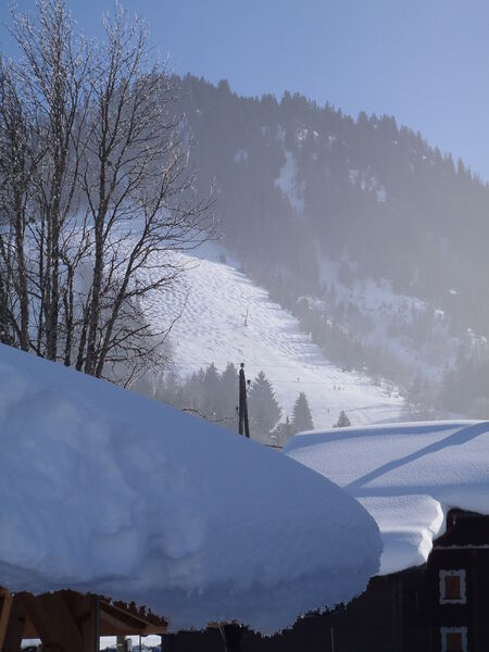
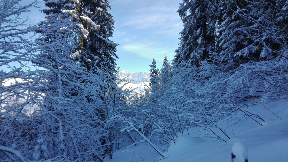
Secure route that allows to take the height to overlook the hamlet of Romme. Keep your eyes open, the Chalet des Vuardes can be engulfed in snow!
The characteristics of the route.
Nancy-sur-Cluses (74)
- Distance 7.1 km
- Elevation gain 410 m
- Elevation lost 410 m
- Min. elevation 1287 m
- Max. elevation. 1673 m
- Duration (depending on pace) 1h50
- Marking No
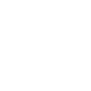
Take the departmental road for 150m in the direction of Le Reposoir, passing in front of the basin. At the Romme trail sign, take the small uphill road on your left towards «Chalet des Vuardes» by way of Les Lays. Go in this direction. The path crosses the ski runs before steadily ascending in the forest. You will take the same route to go back. The path continues to the «Tête de Sallaz» mountaintop but this
mountain sector requires experience (sheets of snow and overhangs).Equipments : Picnic area, Public WC, Delicate passages : Follow the summer sign.Admission fee : Free access. Topo rando on sale at the Tourist Office.Opening : All year round.
Subject to favorable weather.
Area : Cluses Arve & Montagnes
Report a problem Add a comment
Website PDF map
Add your time and share your feelings


Information updated on 2023-01-30 by Cluses Arve & montagnes Tourisme


Follow us on
the digital trails
the digital trails


![]()
Infos & contacts
Flaine Tourist Office
Tél. +33 (0)4 50 90 80 01
Les Carroz sports club
sports@aracheslafrasse.fr - Tél. +33 (0)4 50 90 24 80
Cluses Arve & montagnes Tourist Office
Tél. +33 (0)4 50 96 69 69


OK
Annuler