La Bordaz (Agy) - Hike
Add to my favorites

Route opened
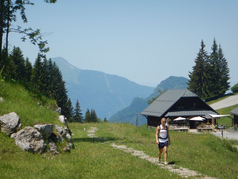
A short walk that's perfect for kids, offering a beautiful view of the Arve Valley and Le Môle.
The characteristics of the route.
Saint-Sigismond (74)
- Distance 1.48 km
- Elevation gain 60 m
- Elevation lost 60 m
- Min. elevation 1274 m
- Max. elevation. 1324 m
- Duration (depending on pace) 0h30
- Marking Yes
Step-by-Step Guide:
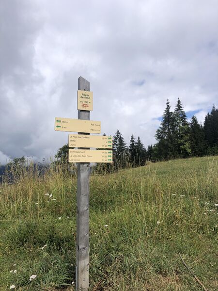
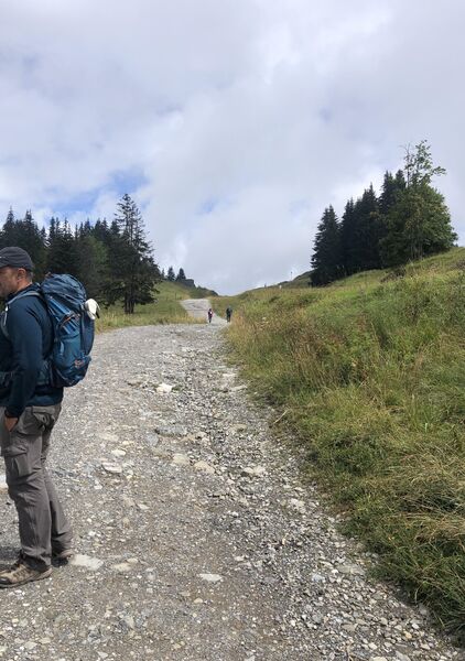
A short loop around the hill visible on the right from the parking lot. From the Nordic Center, take the wide path toward Haut des Flatières. Then, take the trail on your right and climb up to the picnic table at the top of the hill. On the way back, continue along the descending trail and turn right twice to return to the starting point.Marking : Trail marked with directional posts (PDIPR)Equipments : Picnic area, Public WC, Admission fee : Free access.Opening : From 01/04 to 15/11 daily.
A short loop around the hill visible on the right from the parking lot. From the Nordic Center, take the wide path toward Haut des Flatières. Then, take the trail on your right and climb up to the picnic table at the top of the hill. On the way back, continue along the descending trail and turn right twice to return to the starting point.Marking : Trail marked with directional posts (PDIPR)Equipments : Picnic area, Public WC, Admission fee : Free access.Opening : From 01/04 to 15/11 daily.
Area : Cluses Arve & Montagnes
Report a problem
PDF map THIS ROUTE IN YOUR MOBILE PHONE
Download Flaine Carroz 2ccam Outdoor app
Get all the routes on your smartphone with Flaine Carroz 2ccam Outdoor app. You'll find a host of functions :
- Take advantage of detailed IGN maps
- Download data for consultation even when you're not connected to the network
- Geolocate yourself at any time on the route and altimeter profile
- Activate the off-track alarm to be alerted if you stray from the itinerary
- Find nearby services
- Share your experience (add a report, share your lap time)...

Add your time and share your feelings


Information updated on 2026-04-29 by Cluses Arve & montagnes Tourisme


Follow us on
the digital trails
the digital trails



Infos & contacts
Flaine Tourist Office
Tél. +33 (0)4 50 90 80 01
Les Carroz sports club
sports@aracheslafrasse.fr - Tél. +33 (0)4 50 90 24 80
Cluses Arve & montagnes Tourist Office
Tél. +33 (0)4 50 96 69 69
 Espace Trail Flaine - Les Carroz - Cluses Arve et Montagnes - Parcours - La Bordaz (Agy) - Hike
Hello, world! This is a toast message.
Espace Trail Flaine - Les Carroz - Cluses Arve et Montagnes - Parcours - La Bordaz (Agy) - Hike
Hello, world! This is a toast message.
Espace Trail Flaine - Les Carroz - Cluses Arve et Montagnes - Parcours - La Bordaz (Agy) - Hike
Hello, world! This is a toast message.


OK
Annuler