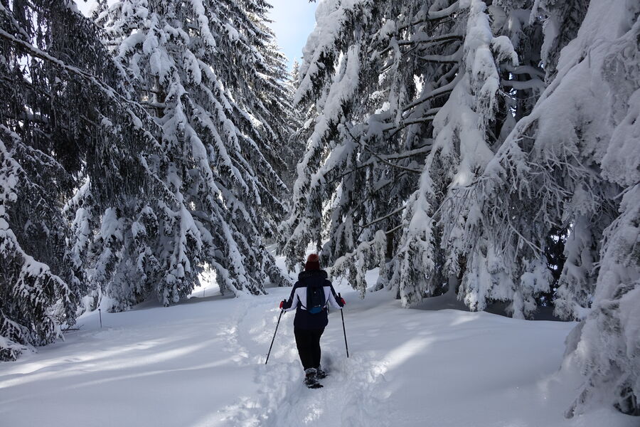
La Forclaz - Winter hike
Add to my favorites

Route closed

Lovely hike in the forest arriving the alpine pasture of La Forclaz, overlooking the village of Le Reposoir.
The characteristics of the route.

Le Reposoir ()
- Distance 5.1 km
- Elevation gain 340 m
- Elevation lost 340 m
- Min. elevation 976 m
- Max. elevation. 1314 m
- Duration (depending on pace) 2h20
- Marking No
From the church, cross the bridge and go up to the left on the road. In the first bend, take the path next to the house "Le Perce Neige". He crosses the fields and the road several times. Pass the oratory, the steep climb to Bellegarde and at “Planzury”, turn right onto the path to “La Forclaz”. The wide path climbs steadily up to the Forclaz chalets. The return is on the same route.Equipments : Car park, Free car park, Delicate passages : Follow the summer sign.Admission fee : Free access. Guidebook on sale at the Tourist Office.Opening : From 15/12 to 31/03.
Opening depending on snow conditions.
Subject to favorable snow and weather conditions.
Area : Cluses Arve & Montagnes
Report a problem Add a comment
Website PDF map
Add your time and share your feelings
Contact 04 50 98 18 01 tourisme@cluses-montagnes.com
Information updated on 2023-02-04 by Cluses Arve & montagnes Tourisme

OK
Annuler


