Les Frachets - Winter hike
Add to my favorites

Route closed
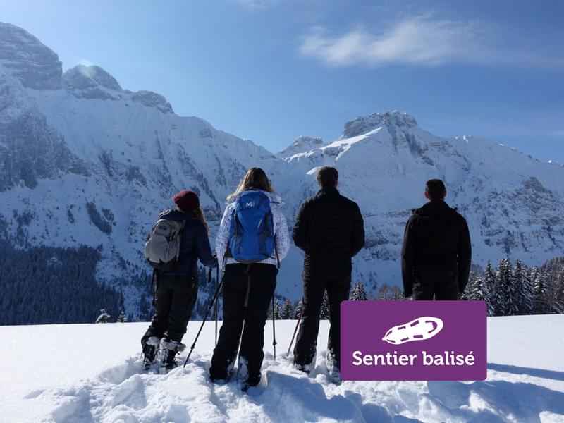
Explore the Cenise plateau at Mont-Saxonnex, a calm, natural world. This mountain itinerary offers exceptional views of the Cluses valley and the imposing Bargy massif. A wild escape that's well worth the detour!
The characteristics of the route.
Mont-Saxonnex (74)
- Distance 8.2 km
- Elevation gain 320 m
- Elevation lost 320 m
- Min. elevation 1255 m
- Max. elevation. 1573 m
- Duration (depending on pace) 4h
- Marking Yes
From the Auberge de la Pointe du Midi, the route follows the road that is not cleared of snow. Keep following these switchbacks until you reach the Frachets chalets. You can then follow the Cenise plateau at your leisure and return by the same route.Opening subject to snow conditions.Marking : Follow the purple markings.Equipments : Free car park, Car park, Admission fee : Free access. Snowshoeing guidebook on sale at the Tourist Office.Opening : Closed temporarily.
Area : Cluses Arve & Montagnes
Report a problem
Website PDF map
Add your time and share your feelings


Information updated on 2026-04-21 by Cluses Arve & montagnes Tourisme


Follow us on
the digital trails
the digital trails


![]()
Infos & contacts
Flaine Tourist Office
Tél. +33 (0)4 50 90 80 01
Les Carroz sports club
sports@aracheslafrasse.fr - Tél. +33 (0)4 50 90 24 80
Cluses Arve & montagnes Tourist Office
Tél. +33 (0)4 50 96 69 69
 Espace Trail Flaine - Les Carroz - Cluses Arve et Montagnes - Parcours - Les Frachets - Winter hike
Hello, world! This is a toast message.
Espace Trail Flaine - Les Carroz - Cluses Arve et Montagnes - Parcours - Les Frachets - Winter hike
Hello, world! This is a toast message.
Espace Trail Flaine - Les Carroz - Cluses Arve et Montagnes - Parcours - Les Frachets - Winter hike
Hello, world! This is a toast message.


OK
Annuler