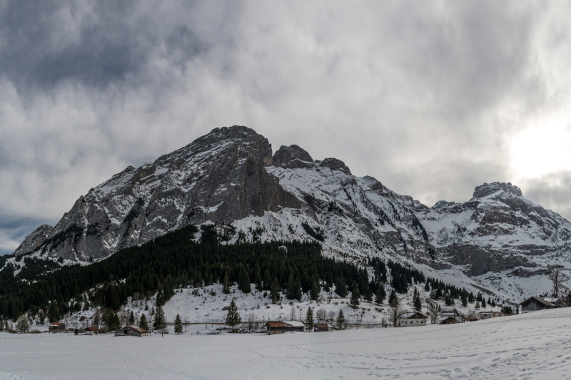
Montée nature
Add to my favorites

Route closed

Ascent: Walk along the Morsullaz road for 50 meters. The path on your left. Follow the signs. At the halfway point, a marker indicates a possible escape route. This will take you to the Malacquis slope. Otherwise, continue on the touring route. The finish is at the Pyramide ski lift. From the church, cross the bridge and take the start of the path to the right of the chalet «Le Perce Neige». It crosses the fields and the road. After the oratory, take the steep climb and cross the housing estate. At «Planzury», turn right towards «La Forclaz». The wide path climbs steadily up to the chalets. The return is on the same route. Downhill: The descent is via the blue runs Les Blanchots and Les Gelinottes.
The characteristics of the route.

Mont-Saxonnex (74)
- Distance 2.8 km
- Elevation gain 470 m
- Elevation lost 0 m
- Min. elevation 1073 m
- Max. elevation. 1544 m
- Duration (depending on pace) 1h15
- Marking Ski touring marking signs
Area : Cluses Arve & Montagnes
Report a problem Add a comment
Add your time and share your feelings
OK
Annuler


