La Creuse des Nants - Hike
Add to my favorites

Route opened
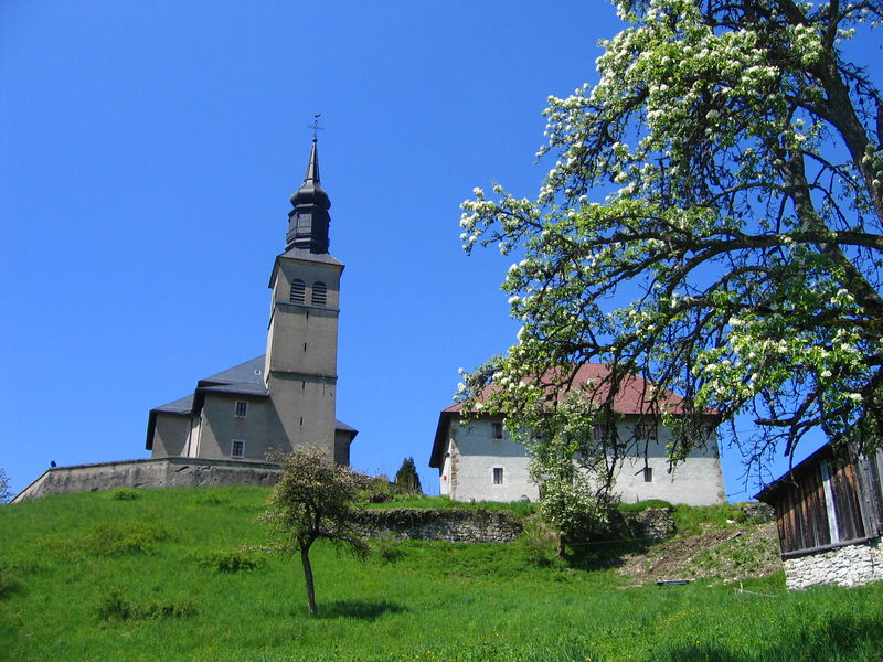
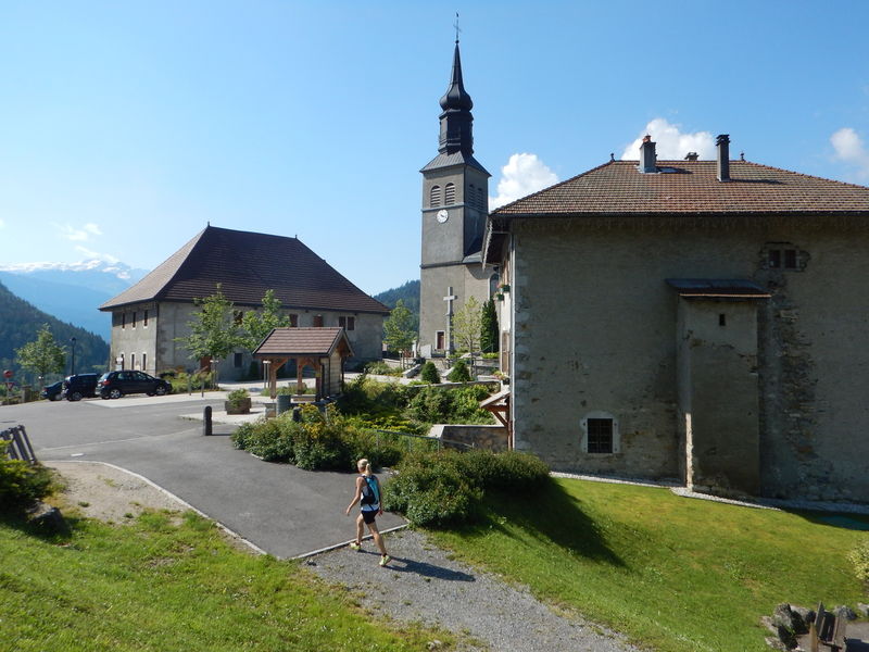
A nice walk in the middle of the hamlets of the village, ideal for the children with a nice view on the valley of the Arve and Bargy.
The characteristics of the route.

Saint-Sigismond (74)
- Distance 5.79 km
- Elevation gain 290 m
- Elevation lost 290 m
- Min. elevation 761 m
- Max. elevation. 986 m
- Duration (depending on pace) 1h50
- Marking Yes
Step-by-step guide : From the city hall to "Chez Bouvier" : 25mins From the city hall, take the direction of "La Joux par Chemin du Jourdil". The path climbs along a small stream and goes downhill to meet the road in a turn. At the sign "Chemin du Jourdil", go downhill on the paved road to enter the hamlet of "La Joux". In this hamlet, at "La Croix de la Joux", turn right to go downhill on the road of la Joux and cross the departmental road following "Le Pont de la Motte par Chez Bouvier" (a bridge). Follow the departmental during 50 meters toward the church. Take the path on your left in the field following the marking sign in front of the house. Cross the fields and follow the marking signs until "Planey" and the sign "Chez Bouvier" From "Chez Bouvier" until "Pont de la Motte" : 10mins At the sign "Chez Bouvier", follow the path on the left under the house toward "Pont de la Motte (10 minutes)". The path crosses the road several times to take you to the bridge "Pont de la Motte". Frome 'Pont de la Motte" to Saint-Sigismond city hall : 1h15mins At the bridge, retrace your steps until "Chez Bouvier" to take the direction of "Saint Sigismond par Croix du Chêne (0h55). The path goes uphill and crossed 2 roads until Croix du Chêne (cross). Then, take the direction of "Saint Sigismond (10 minutes)" on the road and a flat path.Marking : Trail marked with directional posts (PDIPR)Admission fee : Free access.Opening : From 01/01 to 31/12.
Subject to favorable weather.
Area : Cluses Arve & Montagnes
Report a problem
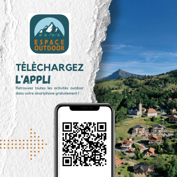
Pdf file THIS ROUTE IN YOUR MOBILE PHONE
Download Flaine Carroz 2ccam Outdoor app
Get all the routes on your smartphone with Flaine Carroz 2ccam Outdoor app. You'll find a host of functions :
- Take advantage of detailed IGN maps
- Download data for consultation even when you're not connected to the network
- Geolocate yourself at any time on the route and altimeter profile
- Activate the off-track alarm to be alerted if you stray from the itinerary
- Find nearby services
- Share your experience (add a report, share your lap time)...

DamC21
The 2026/05/13
En savoir plus
Gad61
finished in 01:30:00
The 2026/04/10
En savoir plus
Ajouter votre chrono et partager vos sensations
2026/05/13 DamC21
2026/04/10 01:30:00
Gad61
Gad61
pas top balisage peu explicite on cherche encore et encore rien n'est indiqué des le début
2026/05/13 DamC21
2026/04/10 01:30:00
Gad61
Gad61
pas top balisage peu explicite on cherche encore et encore rien n'est indiqué des le début


Information updated on 2024-09-02 by Cluses Arve & montagnes Tourisme


Follow us on
the digital trails
the digital trails


![]()
Infos & contacts
Flaine Tourist Office
Tél. +33 (0)4 50 90 80 01
Les Carroz sports club
sports@aracheslafrasse.fr - Tél. +33 (0)4 50 90 24 80
Cluses Arve & montagnes Tourist Office
Tél. +33 (0)4 50 96 69 69
 Espace Trail Flaine - Les Carroz - Cluses Arve et Montagnes - Parcours - La Creuse des Nants - Hike
Hello, world! This is a toast message.
Espace Trail Flaine - Les Carroz - Cluses Arve et Montagnes - Parcours - La Creuse des Nants - Hike
Hello, world! This is a toast message.
Espace Trail Flaine - Les Carroz - Cluses Arve et Montagnes - Parcours - La Creuse des Nants - Hike
Hello, world! This is a toast message.


OK
Annuler